News   GLOBAL  |  Apr 02, 2020
 9.3K     0 
News   GLOBAL  |  Apr 01, 2020
 40K     0 
News   GLOBAL  |  Apr 01, 2020
 5.3K     0 

Here's the world ship tracker. http://www.shiptraffic.net/marine-traffic/bays/Ungava_Bay

View attachment 591926

Nothing with a transponder in the Arctic beyond Greenland's shores and the North Sea today whatsoever. We clearly have a long way to go before we can justify railways to the north.
Not sure what app you are using, or options you have selected, but here is what I get. Not a massive amount of traffic, but not the barren wasteland your map shows.
IMG_6752.jpeg
 
Last edited:
If Quebec natural resources are appropriately located, the line from Schefferville, QC could be extended to Kangiqsualujjuaq, where a port could be constructed to serve vessels in the Ungava Bay.
Wouldn't it be shorter, and likely much cheaper (with roads already in place), to build a port near Goose Bay? Which is a very natural harbour and protected bay.

The bigger issue is the almost as long gap along the North Shore.

But really - why wouldn't you just build the proposed large port east of Quebec City
 
This would be a fun railfan Canadian bucket list trip. I'm assuming I haven't fallen for some sort of elaborate Photoshop job. cc @smallspy @Northern Light @crs1026

View attachment 592959

View attachment 592960

Looks real enough to me, on their Facebook page:

 
This would be a fun railfan Canadian bucket list trip. I'm assuming I haven't fallen for some sort of elaborate Photoshop job. cc @smallspy @Northern Light @crs1026

View attachment 592959

View attachment 592960
Ex-LIRR - posted about this back in June
 
This would be a fun railfan Canadian bucket list trip.

There are online reports of people having made the trip, but there are few to no accommodations available in Puktawagan. It is the ultimate service to a remote community. One would be wise to check with the First Nation before turning up.

- Paul
 
End of the Penetang Spur looking North at HWY 90.
DJI_20240902200838_0289_D.jpg


Portion of the Penetang Sub still in place North of HWY 90.

DJI_20240902200559_0285_D.jpg
 
End of the Penetang Spur looking North at HWY 90.
View attachment 593374

Portion of the Penetang Sub still in place North of HWY 90.

View attachment 593377
The crossing was severed when they rebuilt County Rd. 90 a few years ago. The stub was left intact after the sub was abandoned to serve the Essa Transformer Station. In recent years, the stub was used by BCR for contract car storage.
 
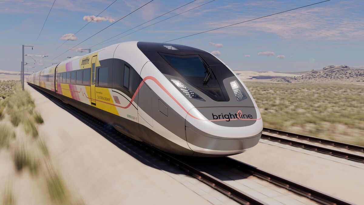
News reports talking about Brightline's profits & ridership.

Brightline makes more money off off long-distance/ Tourism vs short-trip/ Commuters.

Does this mean Brightline is going to make their scheduling more tourist oriented instead of catering to commuters?

Near the end of the video Brightline talks about potentially restricting riders who only make short distance trips.


Back
Top