Lone Primate
Active Member
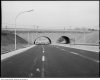
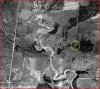
I thought it was looking south towards the Brookbanks/Three Valleys underpass as well. It's odd that it is described as York Mills and Woodbine construction not DVP and York Mills construction - but I have seen a photo recently (here?) of the DVP & Lawrence with a sign that says 'Woodbine continues north of Lawrence' or something like that, which surprised me because I remember as a kid having to get off the parkway at Lawrence even though we were headed further north.
There is an 'I grew up in Don Mills' facebook page with some early photos of the Three Valleys area and someone mentions that there used to be a traffic light at Three Valleys & Woodbine.
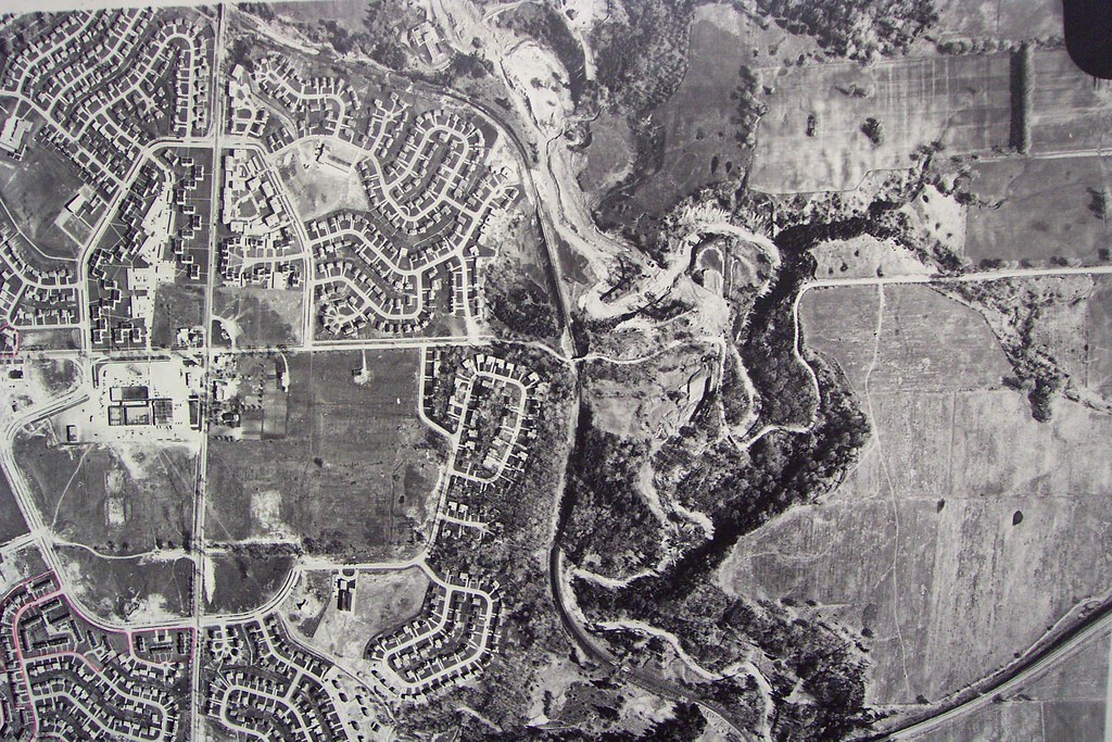
I'm not exactly sure where Three Valleys would be... is that the golf course on the west side of Woodbine? I know there was some kind of access down that side opposite the home at the end of the road, but it's hard to imagine it would need anything more than a cautionary stop sign for people exiting the golf course, on the off chance that the folks who lived in that last house were head home or heading out.
")
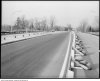
Someone here suggested recently, I think, that at least for a little while, what became the northbound DVP access ramp from Lawrence westbound connected to the end of Woodbine. I've never seen any confirmation of that but seems like a good use for a ramp in anticipation of the rest of the highway for a year or two.
You'd be surprised how often the City Archives takes its best guess at a photo.
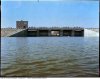
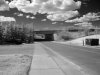
A lot of it probably comes down to how careless the record-keeping of the item creator was. If someone just runs a photo of a bridge or a street by you fifty years after the fact, the odds are strongly against your identifying it... though you might give it a try.This, for example, is identified as "G. Ross Lord Dam". It's not. It's the Claireville Dam (and I think it's flipped right-to-left)...
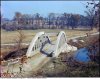
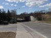
And this image, of the now-closed bridge on Gorewood Drive over the Humber, is definitely backward... flipped right-to-left.