News   GLOBAL  |  Apr 02, 2020
 9.4K     0 
News   GLOBAL  |  Apr 01, 2020
 40K     0 
News   GLOBAL  |  Apr 01, 2020
 5.3K     0 

Jan 20 addition

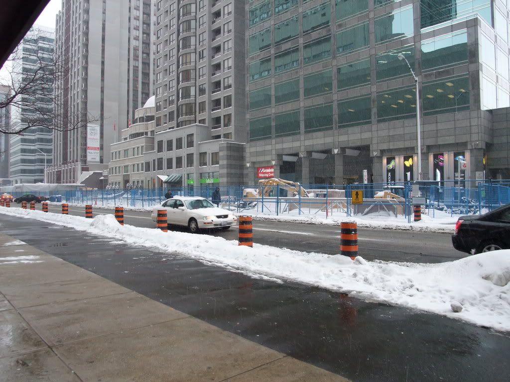
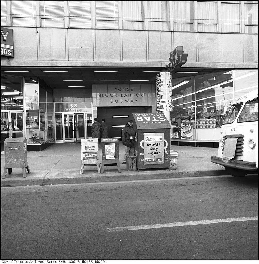
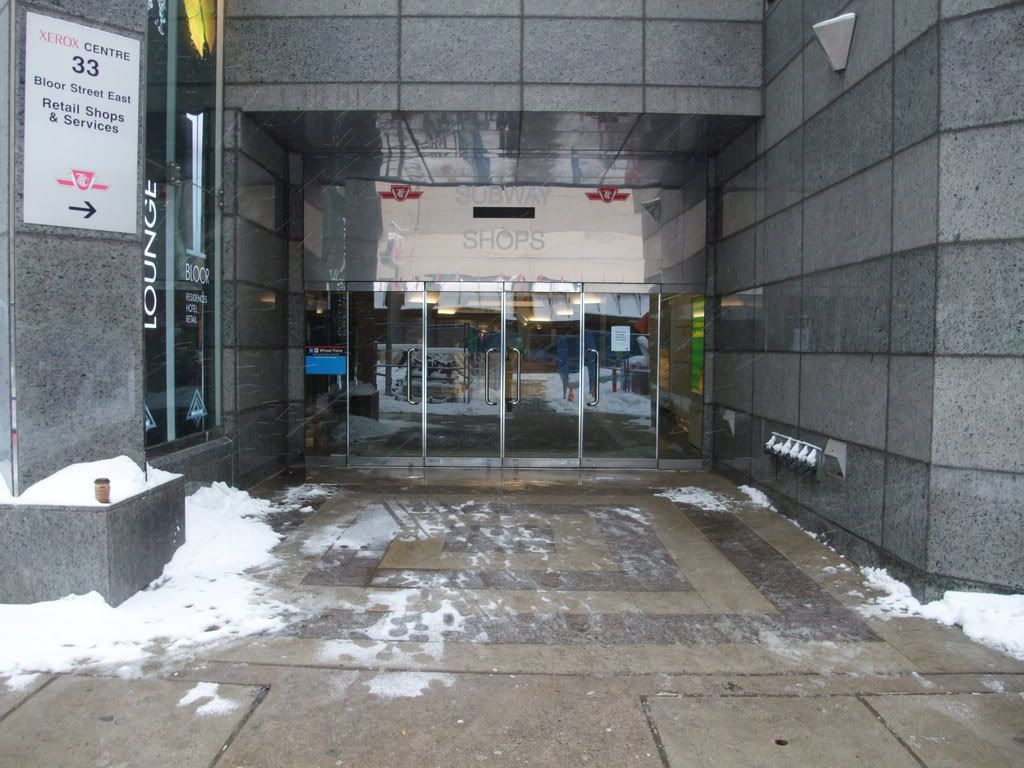
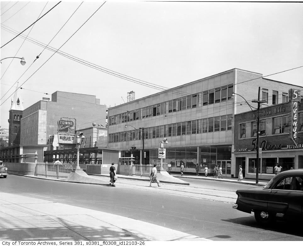
The Lost Subway Entrance.:)


Bloor looking SE and S respectively from just E of Yonge.
ser381_s0381_fl0308_id12103-26.jpg


DSCF0146.jpg


s0648_fl0186_id0001.jpg


DSCF0147.jpg
 
Ah, the Towne Theatre ... I remember seeing Peter O'Toole in The Ruling Class there in the early '70s.

How do you know you're God?

Simple. When I pray to Him, I find I am talking to myself.
 
Apparently the billiard place in the subway arcade was a classic Leon Redbone hangout.

ser381_s0381_fl0308_id12103-26.jpg

NB: the church on the left is the one where the arch on Yonge opposite College Park came from.
 
Jan 21 addition

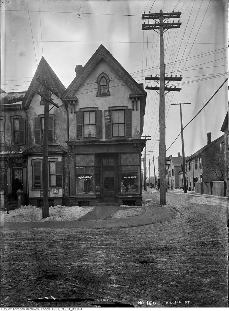
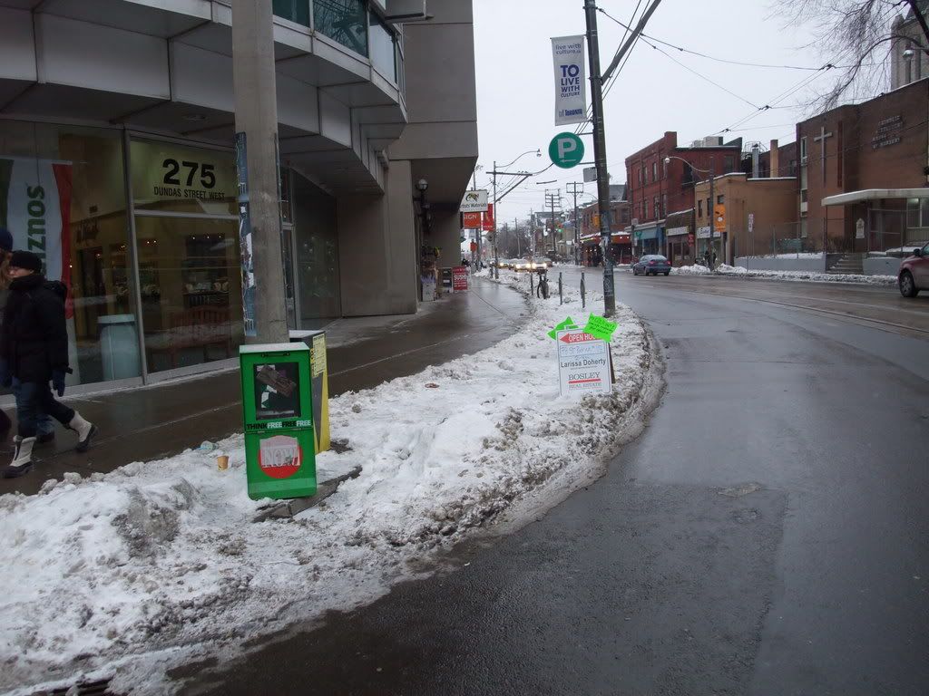
SW corner William (now St. Patrick) and Dundas West, prior to widening of the latter.

fo1231_f1231_it1704.jpg


DSCF0139-1.jpg
 
I always found it strange how as you go EAST along Dunadas, the roadway shifts more to the SOUTH every so often. This happens in that picture, then at University Ave, then at Yonge, along Dundas Square.
 
I always found it strange how as you go EAST along Dunadas, the roadway shifts more to the SOUTH every so often. This happens in that picture, then at University Ave, then at Yonge, along Dundas Square.

Not so strange. A look at this old map:

http://linguafresca.com/portfolio/moved.html double click to enlarge it

shows that the present day Dundas street was a series of small streets running east/west and closely abutting each other named: 'St. Patrick's', 'Anderson', 'Agnes', and 'Wilton'. These were widened and joined - some 'jogs' were needed - to form the Dundas street today as we know it.
 
Last edited:
One amazing thread...all 17 pages
i have been on the archives for the past few months

soo many pics...apparently there are millions
of them at the archives office.
just a "few" are online
 
Not so strange. A look at this old map:

http://linguafresca.com/portfolio/moved.html double click to enlarge it

shows that the present day Dundas street was a winding series of small streets running east/west and closely abutting each other named: 'St. Patrick's', 'Anderson', 'Agnes', and 'Wilton'. These were widened and joined - some 'jogs' were needed - to form the Dundas street today as we know it.

Similar to Dupont, which was Royce, Van Horne, and Dupont, all joined through various jogs. In fact, at Ossington, you can see the outline of a former house on the end wall of another, that was demolished for curving the jog.
 
And as late as post-WWII, Dundas *East* (i.e. beyond Degrassi or so) was composed likewise--helps explain the strange configuration of Maughan Crescent t/w Kingston Road...
 
Love those old subway shots of Yonge and Bloor. They should do that at Finch and Keele between the Finch LRT and the Finch West subway station.
 
One amazing thread...all 17 pages
i have been on the archives for the past few months

soo many pics...apparently there are millions
of them at the archives office.
just a "few" are online

The lady picking up the phone today at the archives informs me 40,000 are online, out of 2 million.
 
Love those old subway shots of Yonge and Bloor. They should do that at Finch and Keele between the Finch LRT and the Finch West subway station.


Not a bad idea; subways stations - outside of the 'core' - are single use structures. You would think that adding a condo or shops on top or beside where feasible would create an instant revenue stream for small incremental construction cost.
 

Back
Top