News   GLOBAL  |  Apr 02, 2020
 8.5K     0 
News   GLOBAL  |  Apr 01, 2020
 39K     0 
News   GLOBAL  |  Apr 01, 2020
 4.8K     0 

Your first photo... they should have kept this section of Glengrove as-is; the Range Rover driving denizens of this area would have loved it. :)
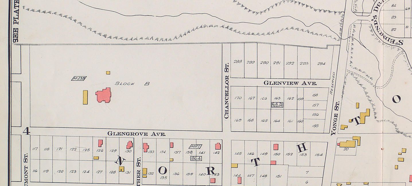
No way - have you seen how slow they go over the speed humps?

Your second photo; could this be the same scene in 1946?
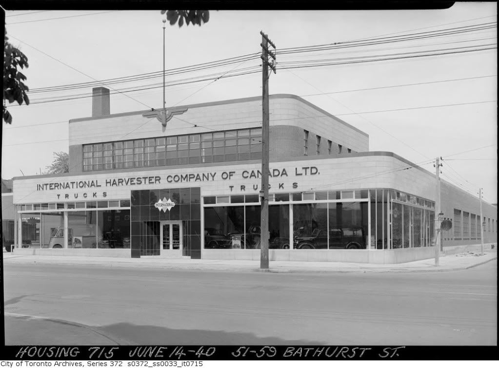
Yes I believe so - unless it was taken in this direction
f1231_it1813.jpg
 
Re: Glengrove Avenue East

In the 1910 Goad's Atlas map, there was no formal street called Glengrove East, but there does appear to be a driveway, which may be the photograph shown previously:

glengrovemap.jpg
 
s0372_ss0100_it0271.jpg


Interesting how the Bellevue pre-Lux catered to an Italian audience.

(And I can't get the present day out of my head, the Freudian-slipper in me wants to finish the sign on the left as CONDOMS)
 
Thanks for the link to the book- but why does the Allen County Public Library in Fort Wayne, Indiana have a copy :confused:

Yes, wwwebster, thanks for the link. The author of this book died in 1958 so the book might have been written in the 1950s? Lots of memories for North Torontonians of a certain vintage like me. At the back of the book one of the sponsors mentioned is The Little Pie Shoppe. It was a fixture at Yonge and Briar Hill for decades and moved to Yonge and Lawrence in the early 90s; closing for good about 1995. Their sugar cookies with a dollop of red jam in the middle were a favourite - still remembered even by my kids and their contemporaries - who called them booger snookies.
 
thecharioteer, burlesque must have been a huge thing in Toronto in those days. I wonder why it died out?
 
s0372_ss0100_it0271.jpg


Interesting how the Bellevue pre-Lux catered to an Italian audience.

(And I can't get the present day out of my head, the Freudian-slipper in me wants to finish the sign on the left as CONDOMS)

No adma, it was a - ahem - club - called MADAMS. :))
 
Re: Glengrove Avenue East

In the 1910 Goad's Atlas map, there was no formal street called Glengrove East, but there does appear to be a driveway, which may be the photograph shown previously:

glengrovemap.jpg

Quite neat, there's our Ansley Castle in the middle of "Block B". Since it was built in 1909, it makes sense it appears on this 1910 map.
 
I think you're right, Mustapha. I had originally thought it might be the original farmhouse (that the row of trees on Glengove led to), but when you compare its size to the houses on Glengrove, it's clear that this ain't no farmhouse!
 
I had been wondering what the iron structure was for. This facade has been cleaned up so much it hardly looks like anything "original," and I'm surprised that the city would have insisted on it's preservation.
 
Re: Glengrove Avenue East

In the 1910 Goad's Atlas map, there was no formal street called Glengrove East, but there does appear to be a driveway, which may be the photograph shown previously:

glengrovemap.jpg

Here we go...

From the Ritchie book previously mentioned:

DSCF1471.jpg


From the TPL book previously mentioned:

DSCF1470.jpg
 

Back
Top