October 20 addition.
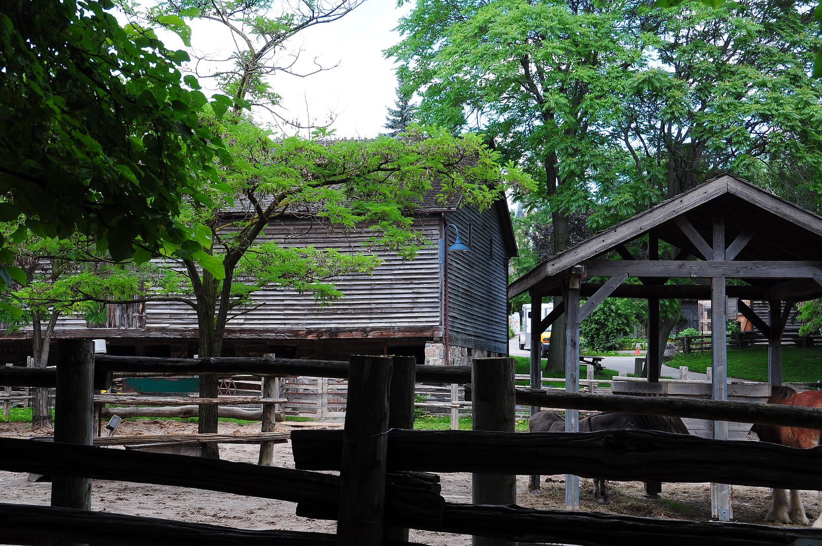
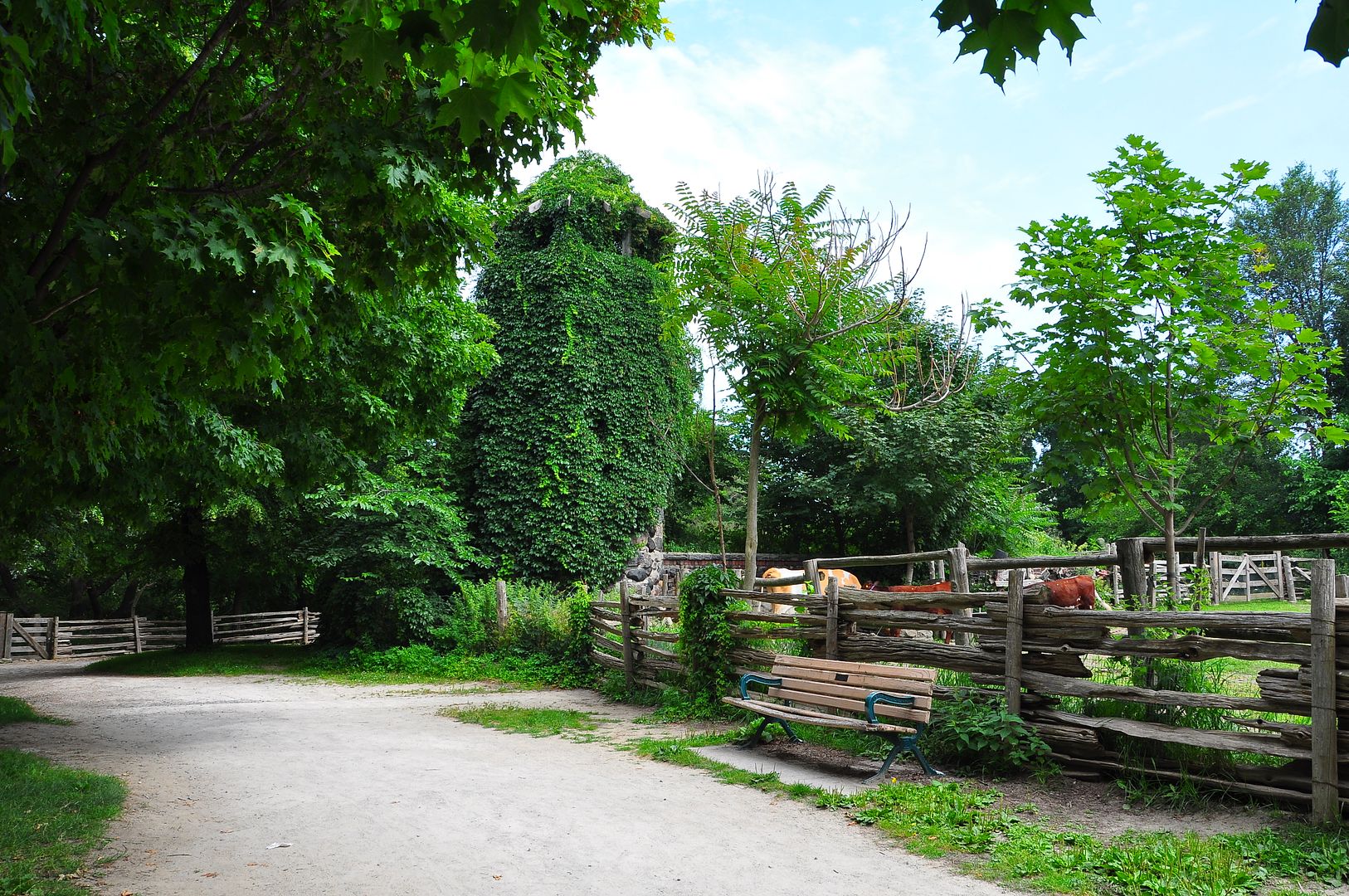
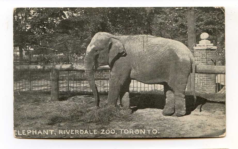
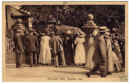
The pleasant park in Cabbagetown known as Riverdale Farm was once the Toronto Zoo from 1894 until 1974.
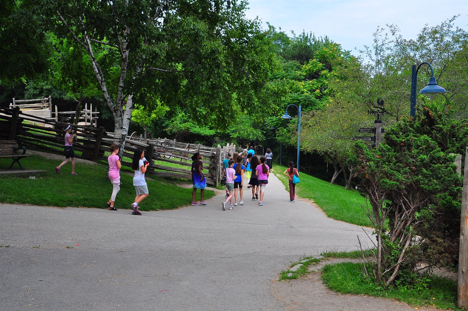
It's a great place now to take children to see the pigs, horses, chickens and lambs at this City operated farm. The older among us may remember when it was the Toronto Zoo. A few of the structures still exist if overgrown and the pathways haven't changed.
I visited only once, as an 8 year old in the early 60s; I'm not sure why my parents never took me again...
In the "Then" picture below, the chapel of the Toronto Necropolis Cemetery serves as a reference point for our "Now" picture.
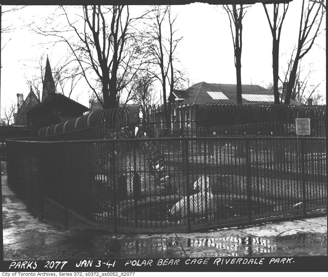
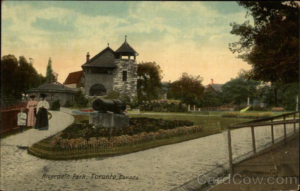
Below is the "Donnybrook"; I'm not sure its purpose; do any UTers know?
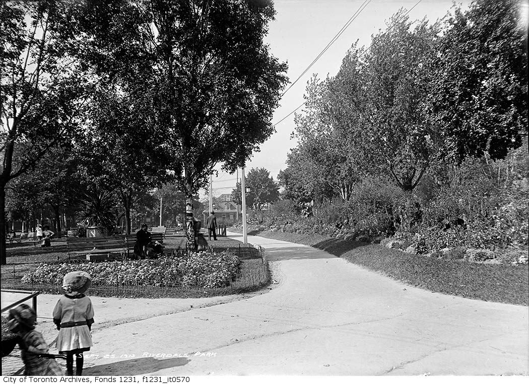
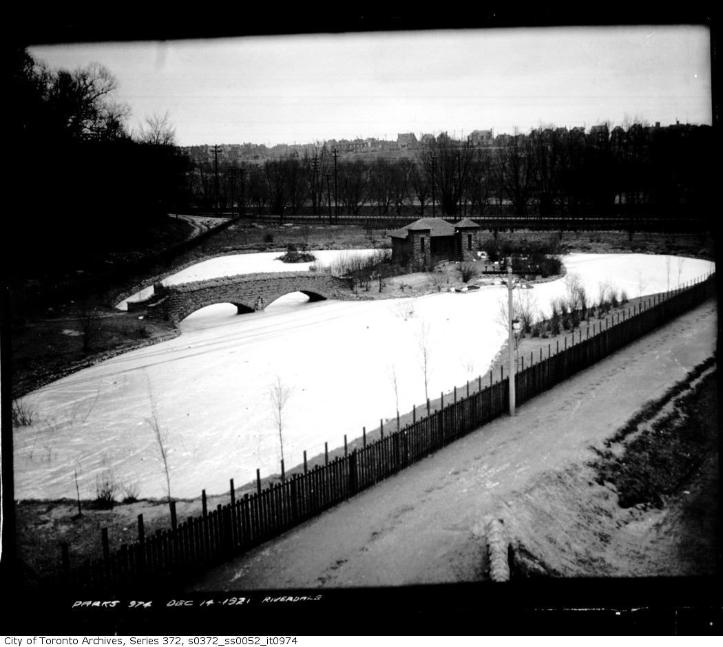
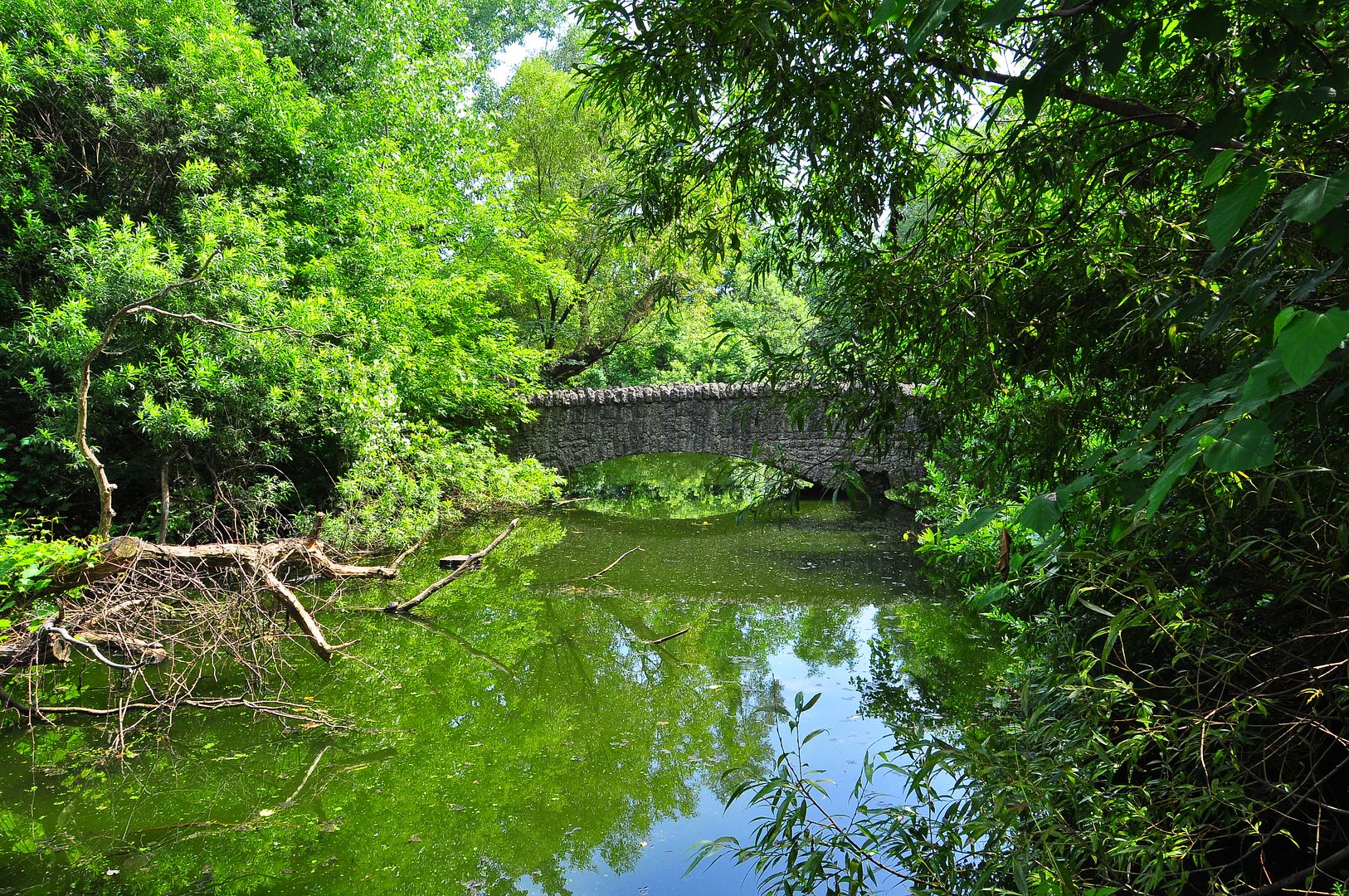
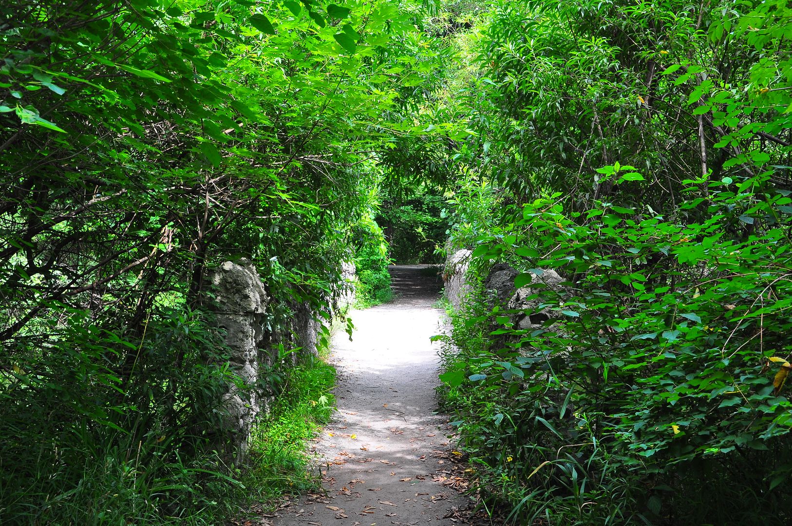
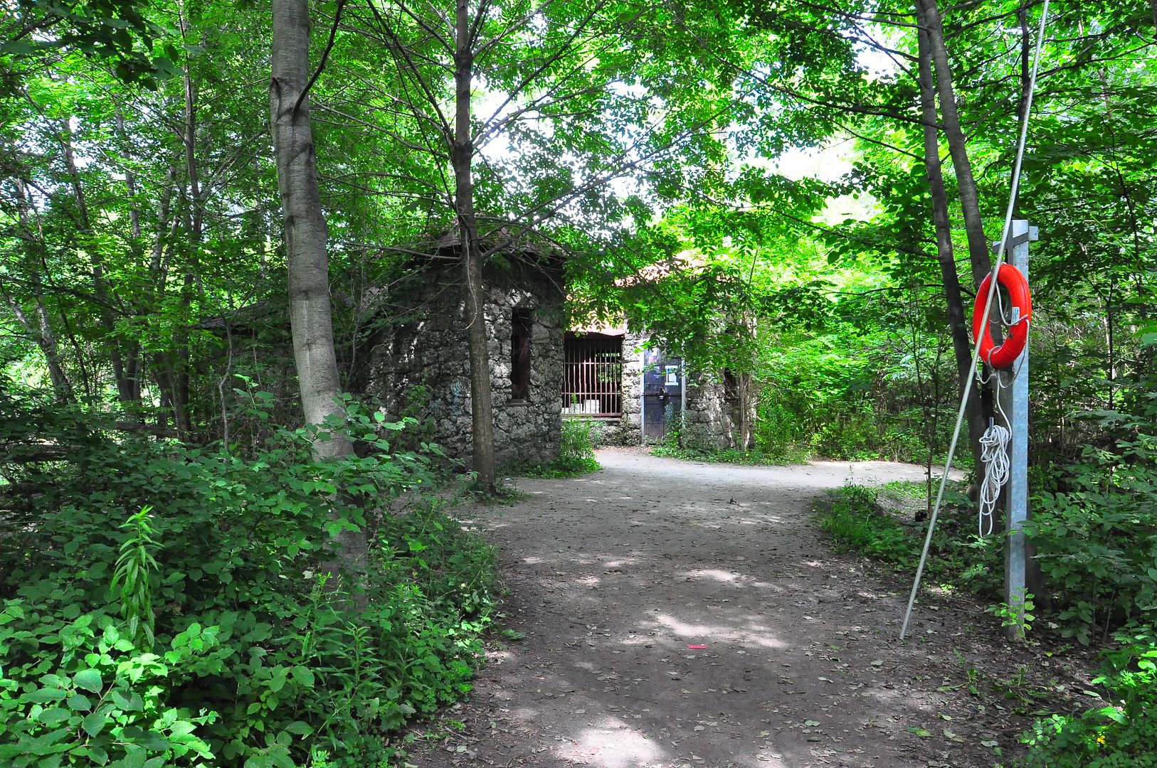
In the "Then" view below we see a stone bridge leading to what is variously known as the Island House or the Monkey House in the middle of a pond. All still exist. In the Then picture the photographer must have had some sort of hydraulic lift - or perhaps climbed a tree - I could not find the same elevated vantage point now. Which brings me to another point; even if I had used the same elevated vantage point, the dense overgrowth would have prevented a view. There is quite a lot of unnecessary brush and growth about; I think it needs to be cut back. The pond is also stagnant and smells quite bad. There were many visitors this August day and I am certain the experience could have been better for some grounds maintenance and an inlet and outlet opened into the pond. If that's not asking too much.
")
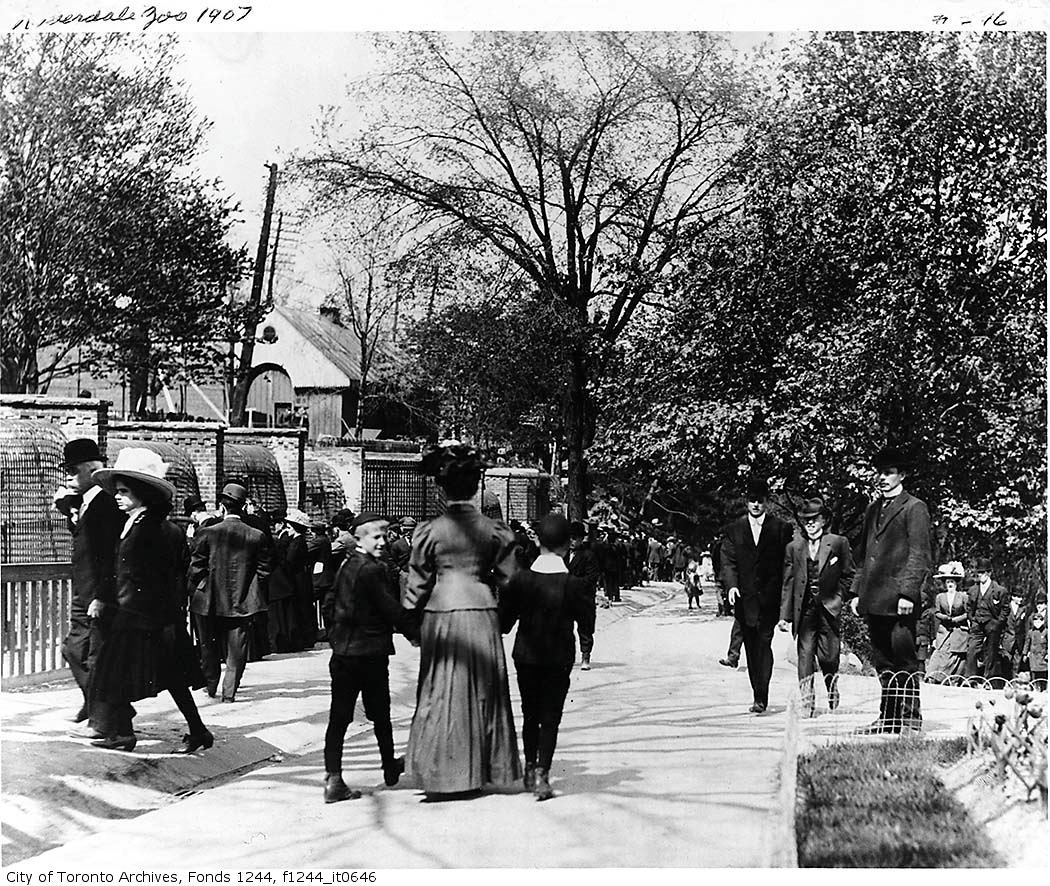
The road on the left I believe to be Winchester street. We are looking east. Winchester street at the time skirted the south side of the Necropolis [this section of road still exists but is private Riverdale Farm access], descended into and across the Don Valley [now obliterated by the Bayview extension and the Don Valley Parkway], crossed north east and up out of the Valley using the same alignment as the present day DVP access road leading from the Bloor eastbound lanes [past the Pizza Pizza]. It's hard to believe now but our great great grandparents would have taken this route to get out of downtown Toronto to get to the Danforth and points east.
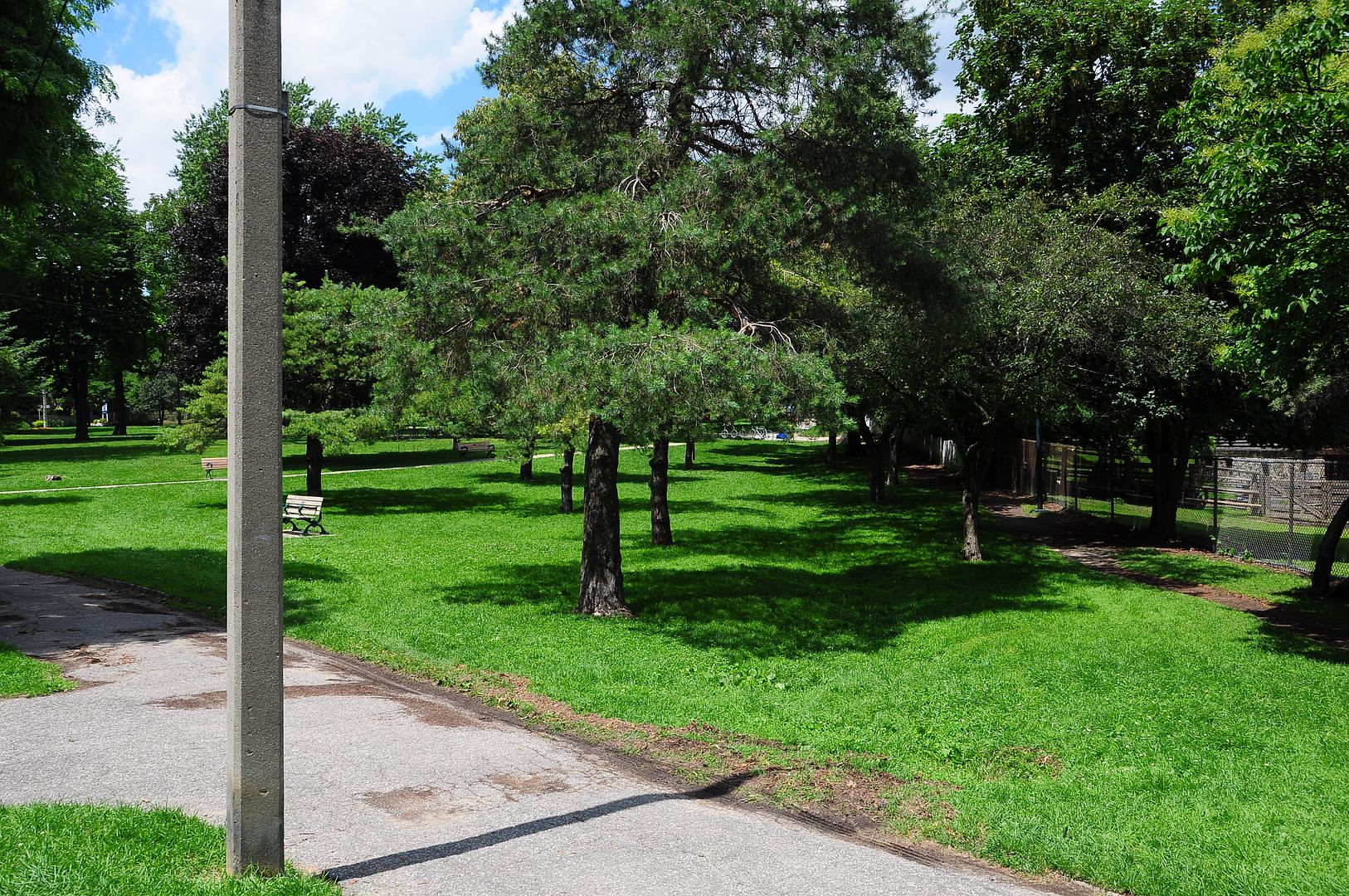
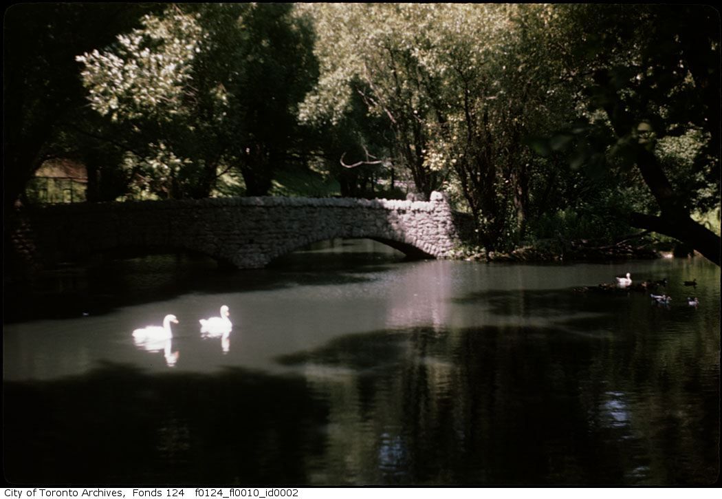
The colour photo below is a "Wiley fonds" photo from the Toronto Archives. I include it only to show the vegetation growth that now covers the area thickly. I promise to stop now.
A charming video of our Zoo in 1937. There are some Toronto street scenes in this as well; they have me stumped location wise. Well worth a viewing - since you're reading this already, right?
http://www.youtube.com/watch?v=ArSm0Te11Z8
.