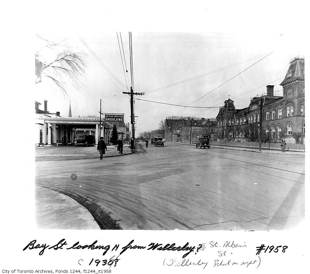
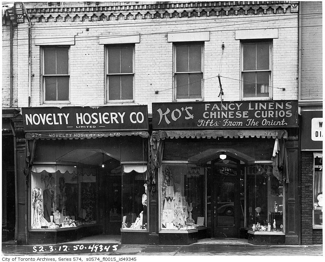
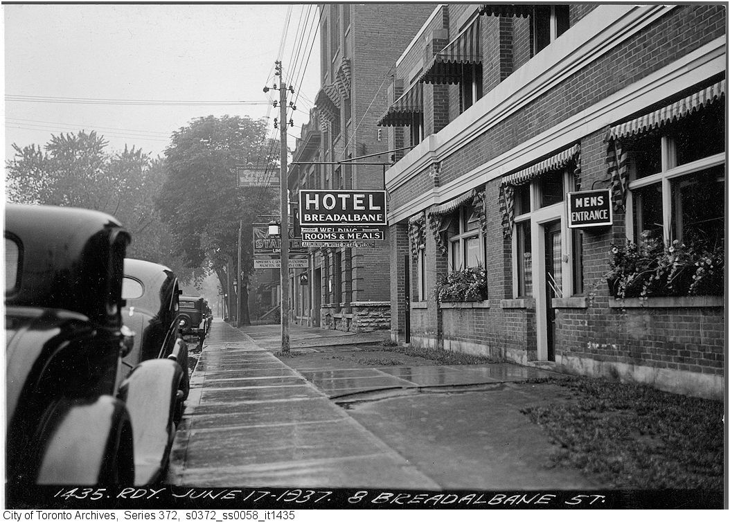
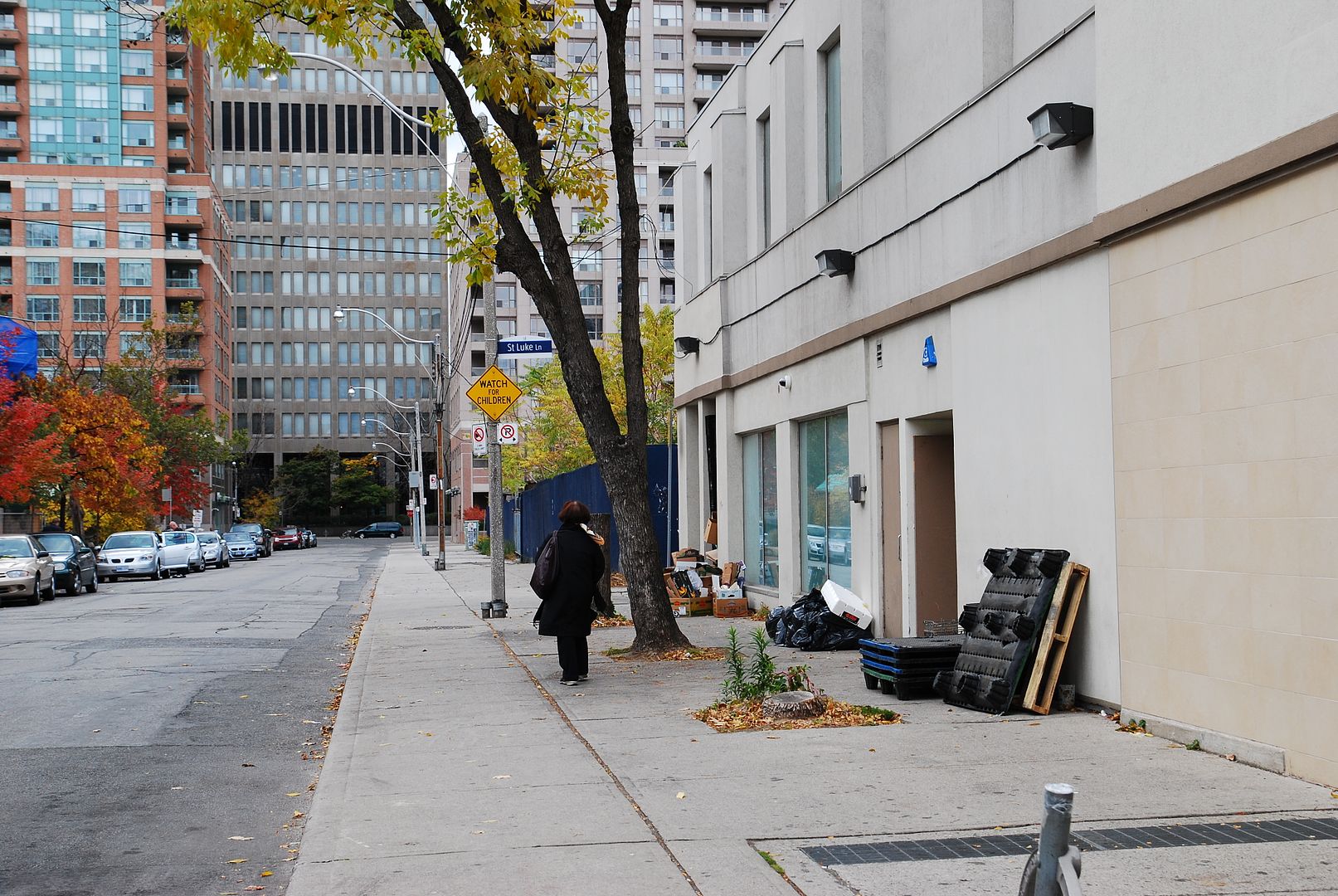
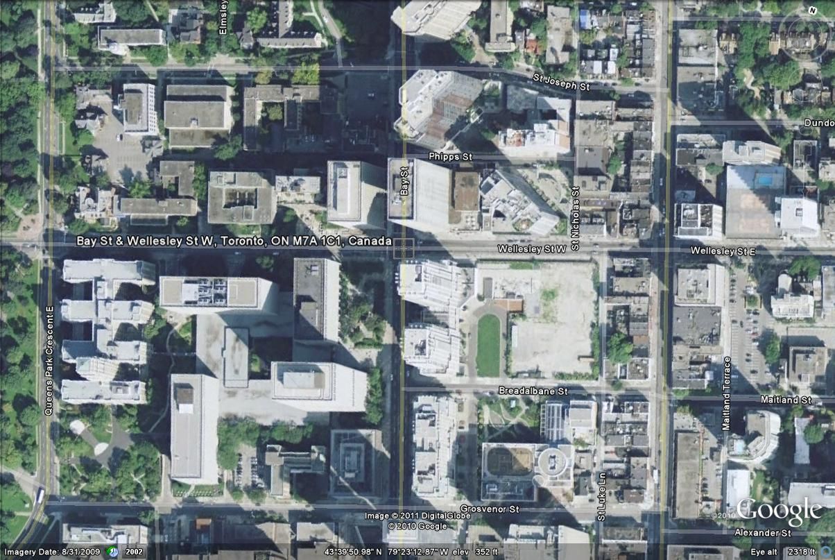
The transformation over the last century of the blocks between Yonge and Queen's Park and College and Bloor have been as dramatic as any other section of Toronto, particularly around Bay and Wellesley (formerly St. Alban's Street west of Yonge). The extension of Bay Street north from Queen to Bloor in the 1920's (known as the Terauley Extension), irrevocably changed the neighbourhood from a mixture of Victorian houses and primarily Catholic educational and benevolent institutions to the highrise mixed-use area we know today. Though there have been some architectural "hits" (namely the Grosvenor St. YMCA, Murano (a qualified "hit") and the Provincial Government complex SW of Bay and Wellesley), most of the new buildings have been architectural "misses", particularly the 1980's residential highrises on Bay between Breadalbane and Charles, resulting in a bland quite uninteresting street.....
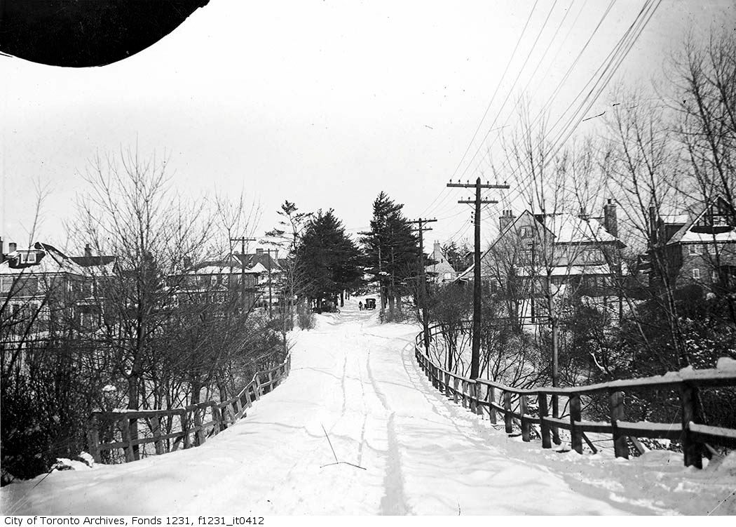
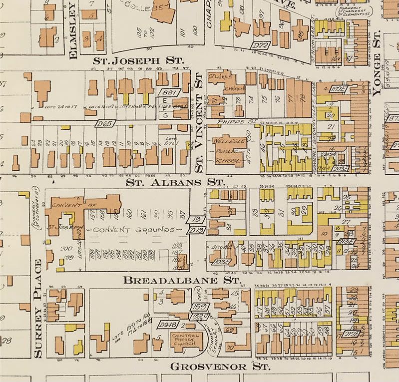
1910:
/QUOTE]
Hmm, Wellesley Public School at the NE corner of Wellesley and Bay, now occupied by Sutton Place Hotel. I wonder if it was razed for Sutton Place...


")