News   GLOBAL  |  Apr 02, 2020
 9.7K     0 
News   GLOBAL  |  Apr 01, 2020
 41K     0 
News   GLOBAL  |  Apr 01, 2020
 5.5K     0 

Woodbine looking south down to Kingston Road.

woodbineave.jpg


IMG_0302.jpg

Holy!!!
 
Which also says something about how mapmakers deemed townships to be unimportant--if you notice, there's no indication of East York, York, North York, Etobicoke, or Scarborough. (I suppose it's because townships were undifferentiated land masses rather than "places"--and of course, "places" are where the early motorists and travellers could expect to get "services", or something.)

Here's Imperial Oil's version - also 1940
Toronto2.jpg
 
(1) Interesting typo: "Donsview" (i.e. Downsview)
(2) Interesting how Queen St is depicted as continuous into the QEW (and still as "Queen St")
(3) Dupont is still shown in part as Van Horne and Royce
(4) note the self-promotional touch of the Imperial Oil Building marked at Church + King
 
For (2) you mean Queensway, not QEW. Queen still does segue into Queensway, though I think it used to change somewhere west of High Park instead of at Sunnyside. There is still a North Queen Street in the vicinity of Queensway and Kipling which I've never figured out.

Dupont did overwrite the names of Royce and a few others when the jogs were eliminated. I think similar happened with College and Gerrard and Dundas East.

(5) As long as I can recall, Pape has been interrupted (except for a footbridge) by the railway tracks between Langley and Gerrard.
(6) Interesting to see that Lakeshore East was once called Keating.
(7) Did Avenue Road really veer to the east to meet Yonge (presumably around where the 401 runs now)?
(8) Some of what's shown or not is very selective. No Dufferin south of Bloor, not to mention Lansdowne or Ossington. No Sherbourne or Parliament (except where Carlton jogs to Gerrard - possibly following the Harbord car, but then Harbord is not shown). No Jones, Greenwood or Coxwell.

All that being said, that genre of maps was ever known for accuracy or consistency. And they're still very interesting notwithstanding.
 
Last Then and Now for 2011 - from me anyways.. :) . A Happy, Healthy and Prosperous New Year to Everyone. See you all again early next Monday morning, January 2nd.


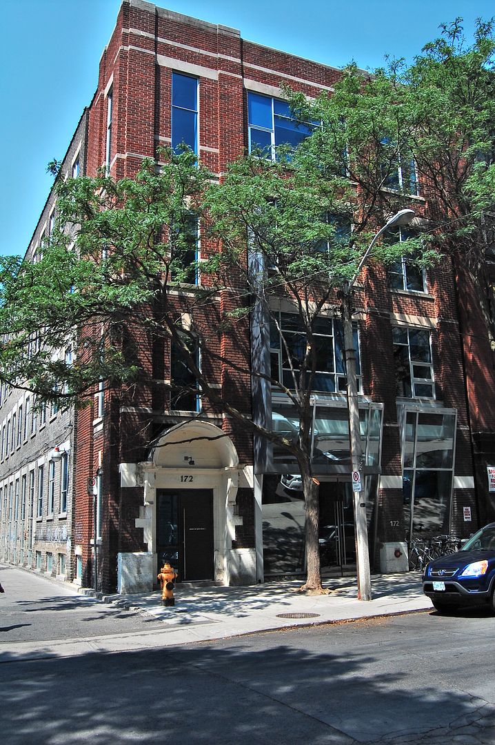
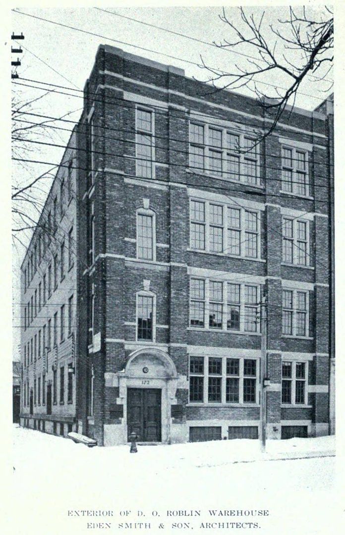
Then. 'Exterior of D.O. Roblin Warehouse. Eden Smith & Son, Architects.' A year end thanks to wwwebster for this and the many rare pictures we've seen this year.

331172JohnStc1916.jpg


Now. August 2011

332.jpg


http://en.wikipedia.org/wiki/Eden_Smith


.
 
Last edited:
Re Pape: IIRC the rail crossing was only closed off and replaced by the footbridge in the mid-70s (following a fatal accident)
 
Last edited:

!!! I did not know that. Excellent thread.


adma - I think I recall the Pape accident, now that you mention it. Rather surprising that there would still be a level crossing on that line that recently. Carlaw, having a grade separation, was always the main traffic street south of Riverdale, notwithstanding the Imperial Oil map.
 
For (2) you mean Queensway, not QEW. Queen still does segue into Queensway, though I think it used to change somewhere west of High Park instead of at Sunnyside. There is still a North Queen Street in the vicinity of Queensway and Kipling which I've never figured out.

But in 1940, the QEW would already have existed--far more important (and red-line-worthy, as per the map) than the Queensway. In fact, an early proposed name for this beginning stretch of the QEW was the Queen Street Extension. (yeah, looked that one up thru Wikipedia)

Queen and the Queensway weren't hooked up until the mid-50s.
 
(7) Did Avenue Road really veer to the east to meet Yonge (presumably around where the 401 runs now)?

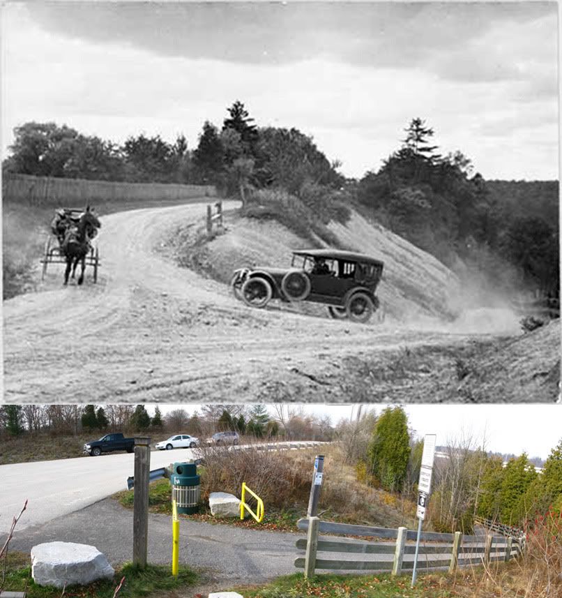
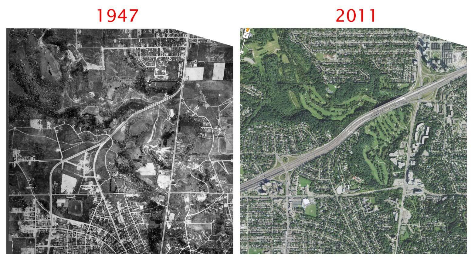
Absolutely. Avenue Road was a an alternate Hwy 11 route (11A) to relieve some of the traffic on Yonge. Once you got across the Don in those days you were pretty much out of town, so they built a bridge connecting them. It was a major undertaking in those days and I remember reading some prideful passages about it. It existed as such only for a short while, though. The province deemed it useful to the 401 project and made it part of that highway during its construction in the 1950s. There was actually a neat little period where it was sort of both. When the 401 was two lanes each way, you could still hop on eastbound from Yonge Blvd. Once they build the collectors in the mid-60s, though, that and several of the proximate houses went by the boards.

6cab223f.jpg


P.S. Also of interest, note that in the first view, Wilson Avenue doesn't yet come down the hill to meet York Mills Road. In fact, they didn't join at Yonge until the early 1970s.
 
Last edited:
Found some of my then and nows... please forgive me if I'm repeating myself in any of these. :)

Fourth Line access to Sixteen Mile Creek (Dundas Street crossing)
b8e253e4.jpg


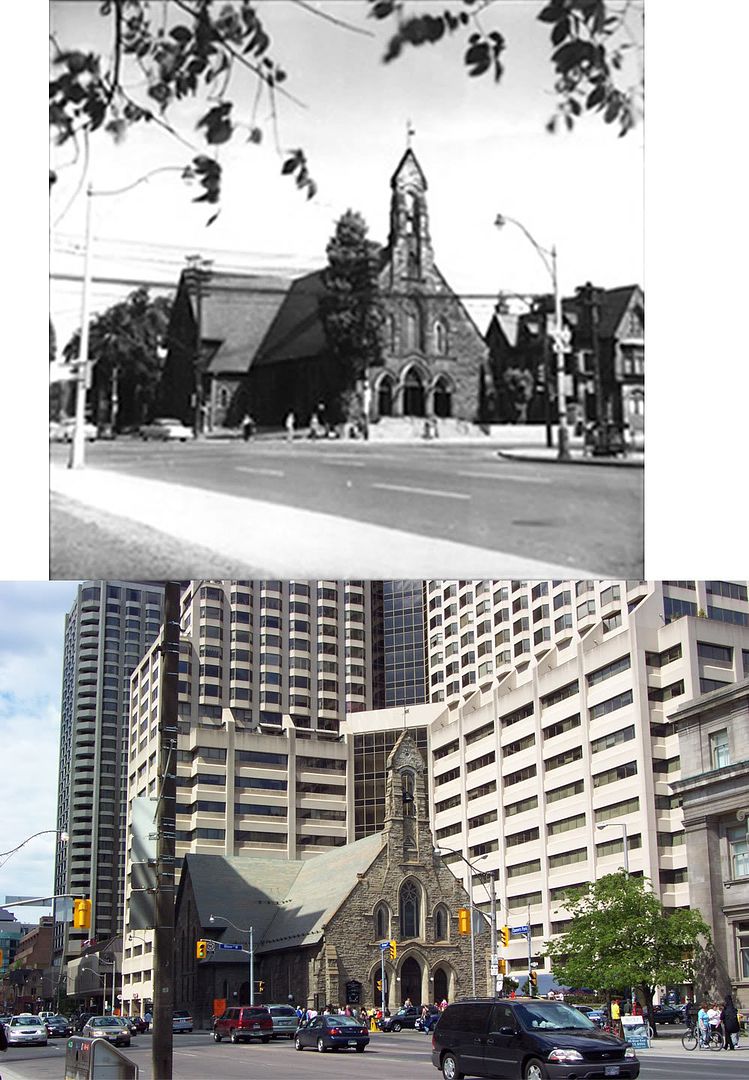
Church at Bloor and Avenue Rd.
2c6a3abf.jpg


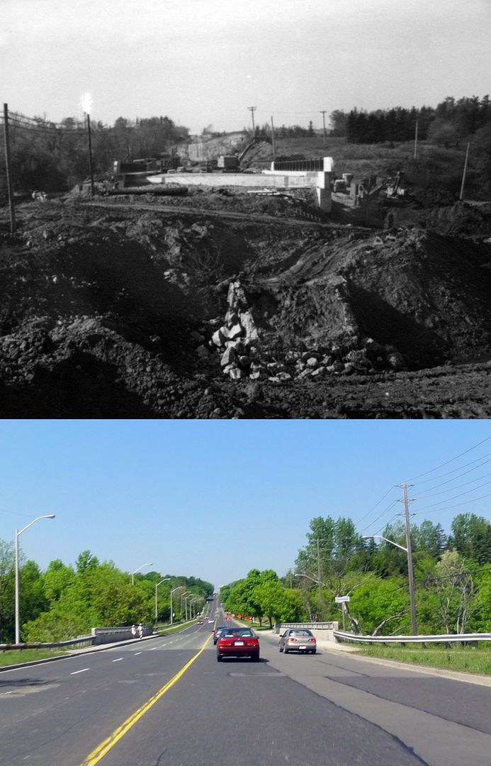
Finch Avenue at the East Don River
708015f8.jpg


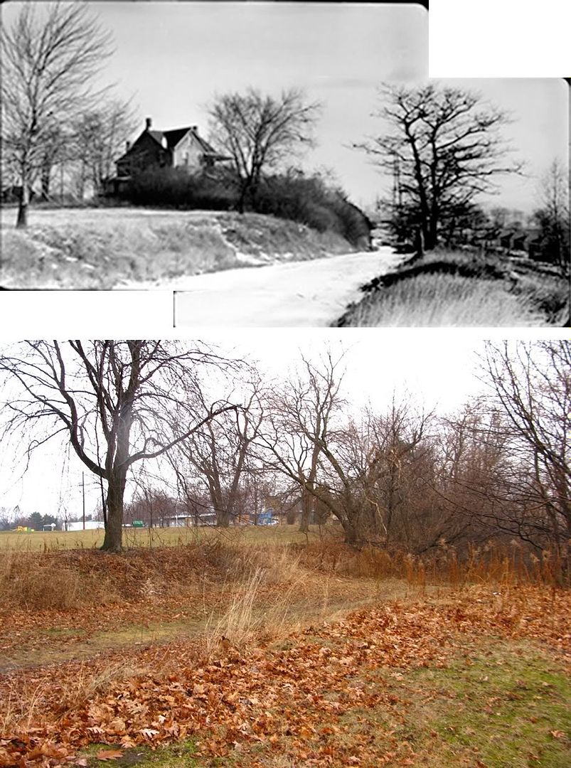
(Former) Lawrence Avenue at Victoria Park Avenue
62dd8ba2.jpg


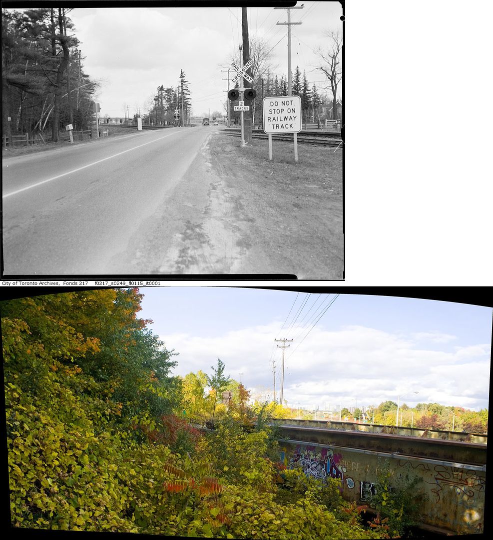
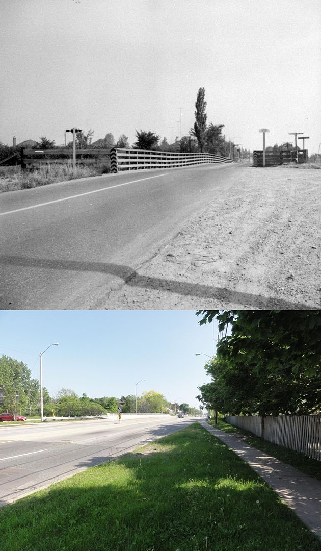
Leslie Street level crossing (prior to realignment and bridge construction)
01c63382.jpg
 
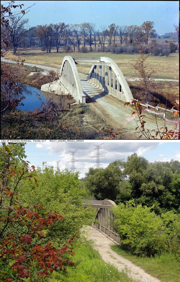
Gorewood Drive at the Humber River
3ebe978e.jpg


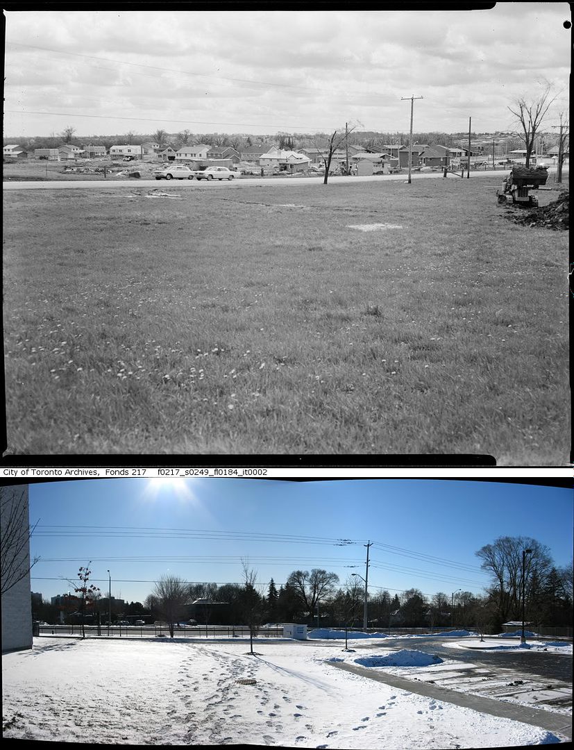
Construction of bus loop on Sheppard Ave. just east of Shaughnessy Blvd.
9c6a0187.jpg


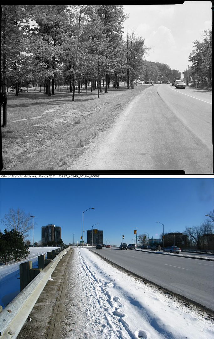
Looking east along Finch Ave. from Page Ave.
1341c0cc.jpg


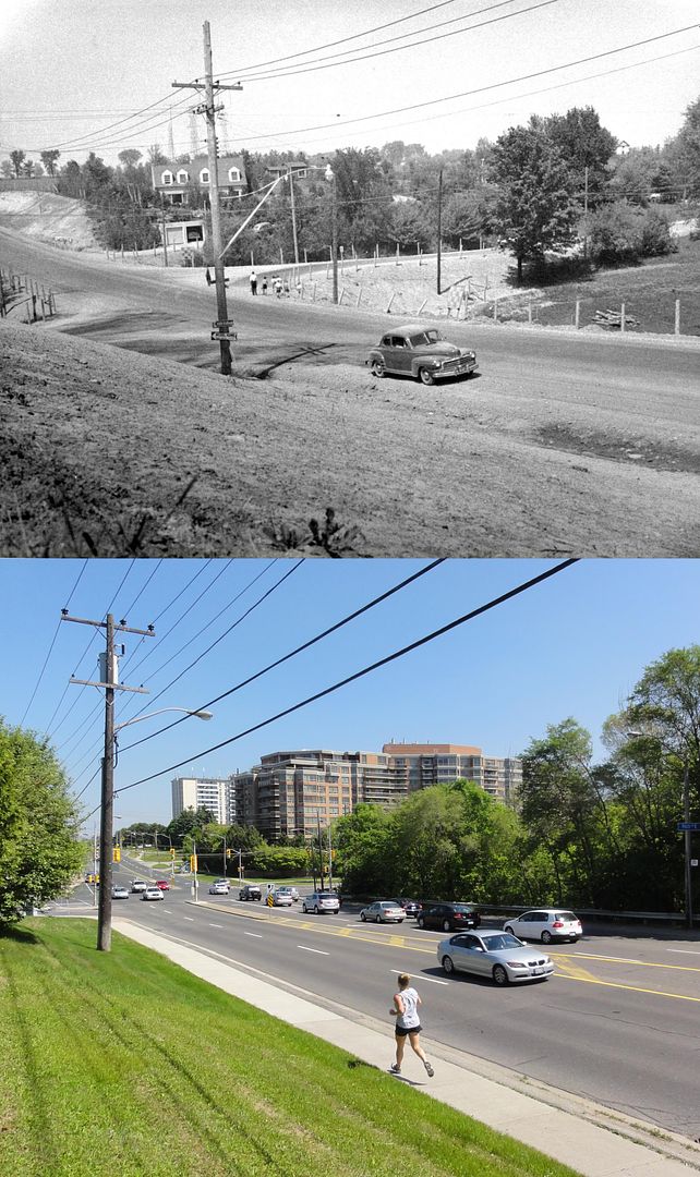
Sheppard Ave. at Brian Drive
954f02cb.jpg


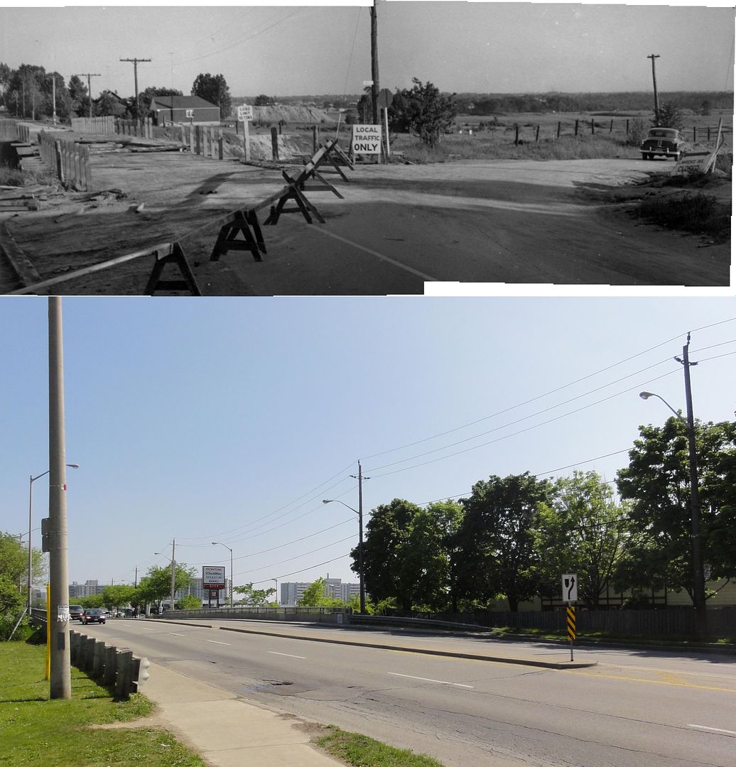
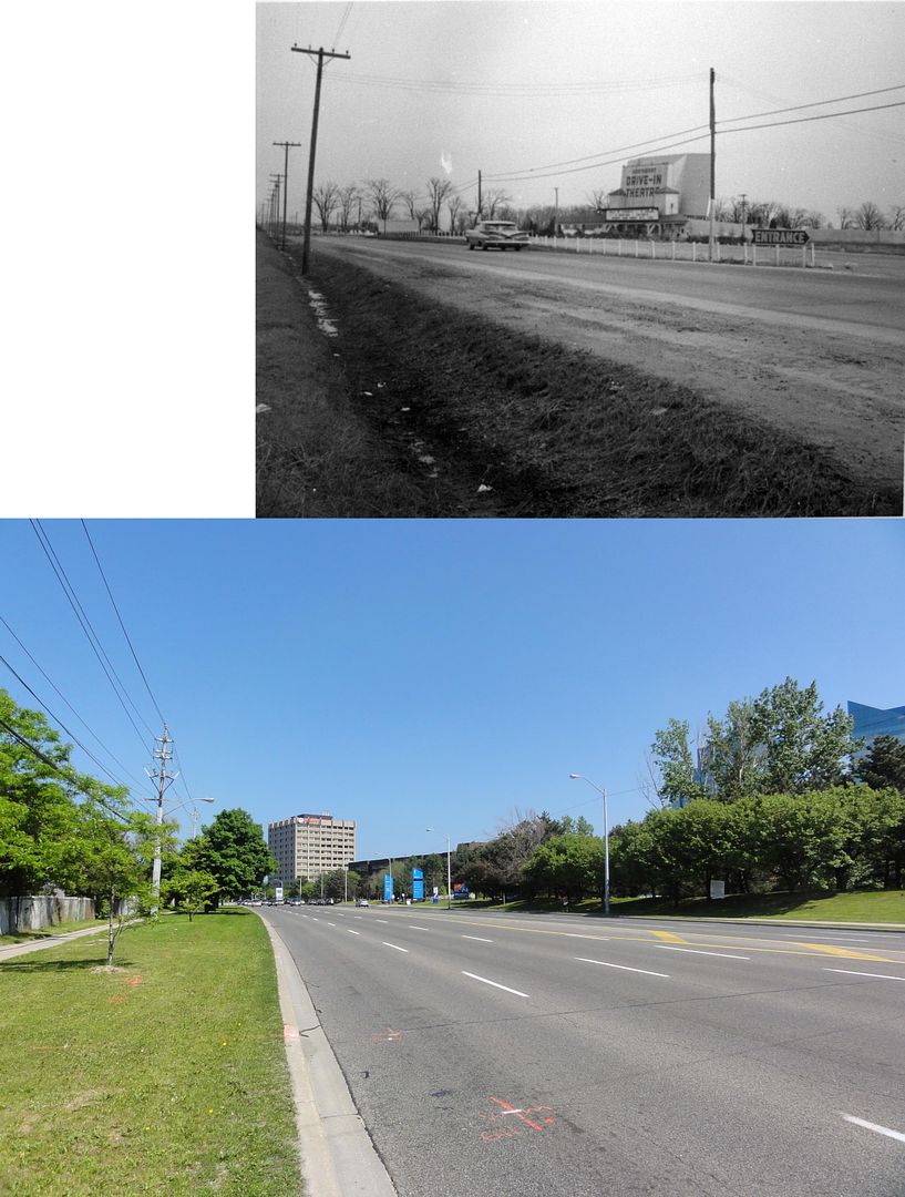
Sheppard Ave. looking east to Woodbine Avenue (now Hwy 404)
571e5419.jpg
 
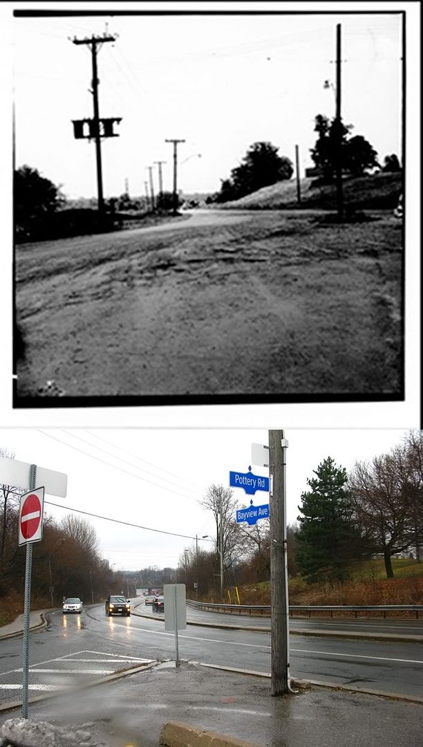
Pottery Road from the foot of Bayview Heights Drive
1c687d72.jpg


Bayview Avenue looking north to Finch Avenue
6877c345.jpg


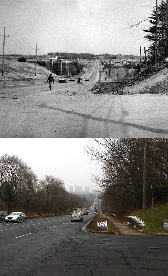
Looking south down Victoria Park Avenue from what used to be the corner of Lawrence Avenue
a4b051c8.jpg


Stevenson Drive, now part of the Bayview Extension
904d7afe.jpg
 

Back
Top