News   GLOBAL  |  Apr 02, 2020
 8.8K     0 
News   GLOBAL  |  Apr 01, 2020
 40K     0 
News   GLOBAL  |  Apr 01, 2020
 5K     0 

I'm so fond of the history of Winchester Dr. that I decided to place these two pics together as a Then & Now.
The recent photo is, as we all know, from that wonderful essay by r937 <Rediscovering Royal Drive>.
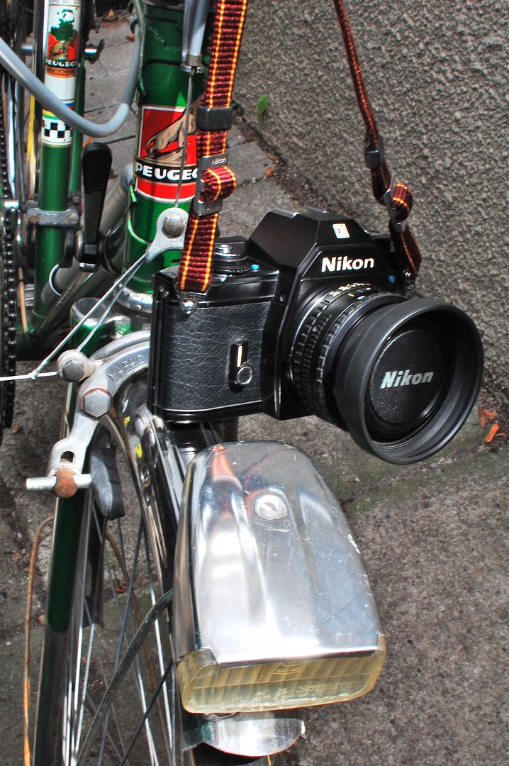
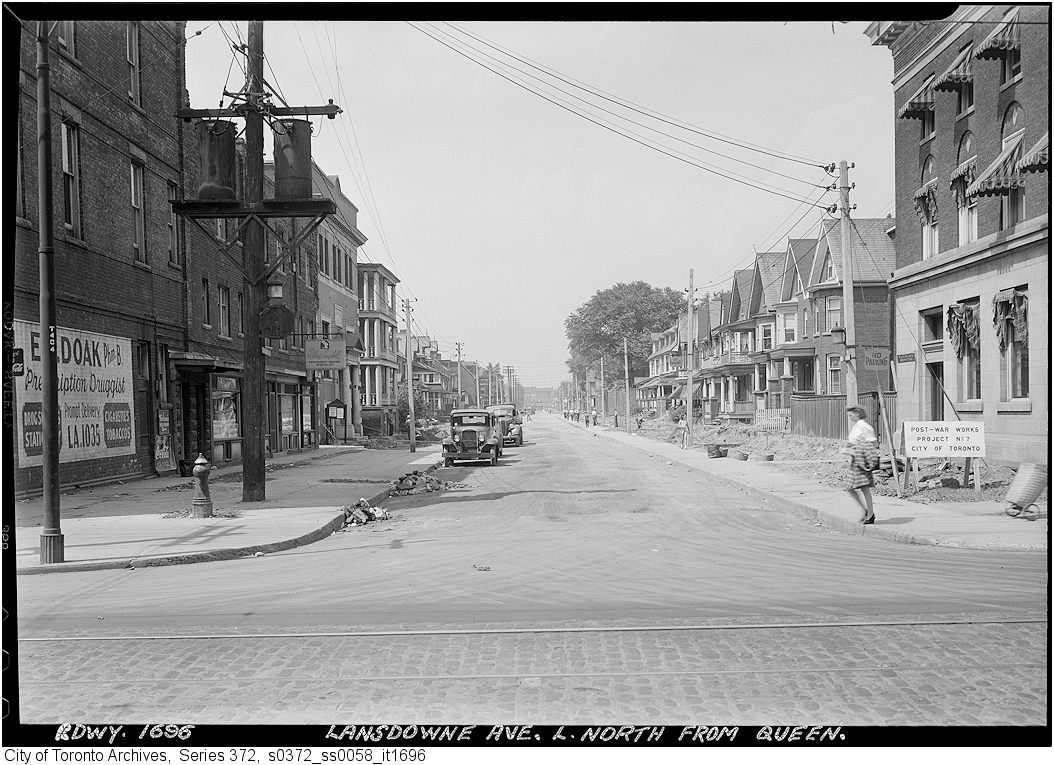
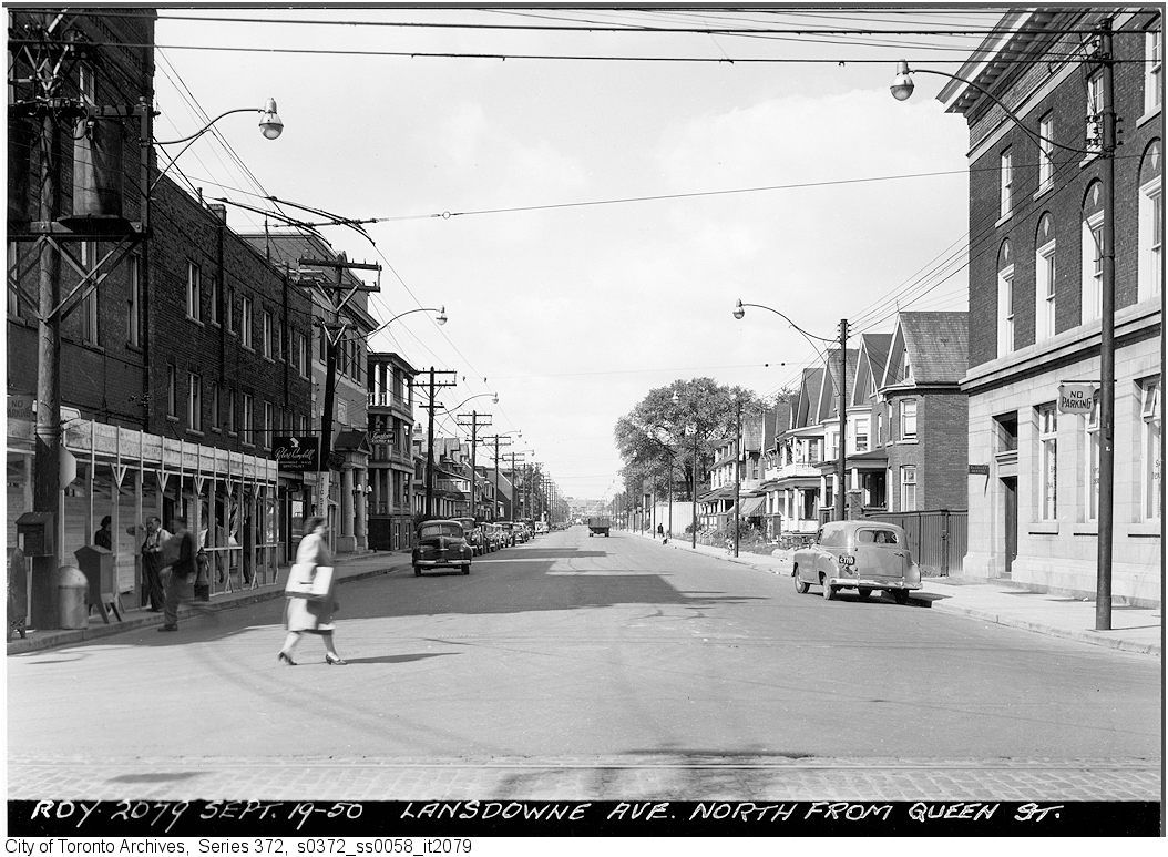
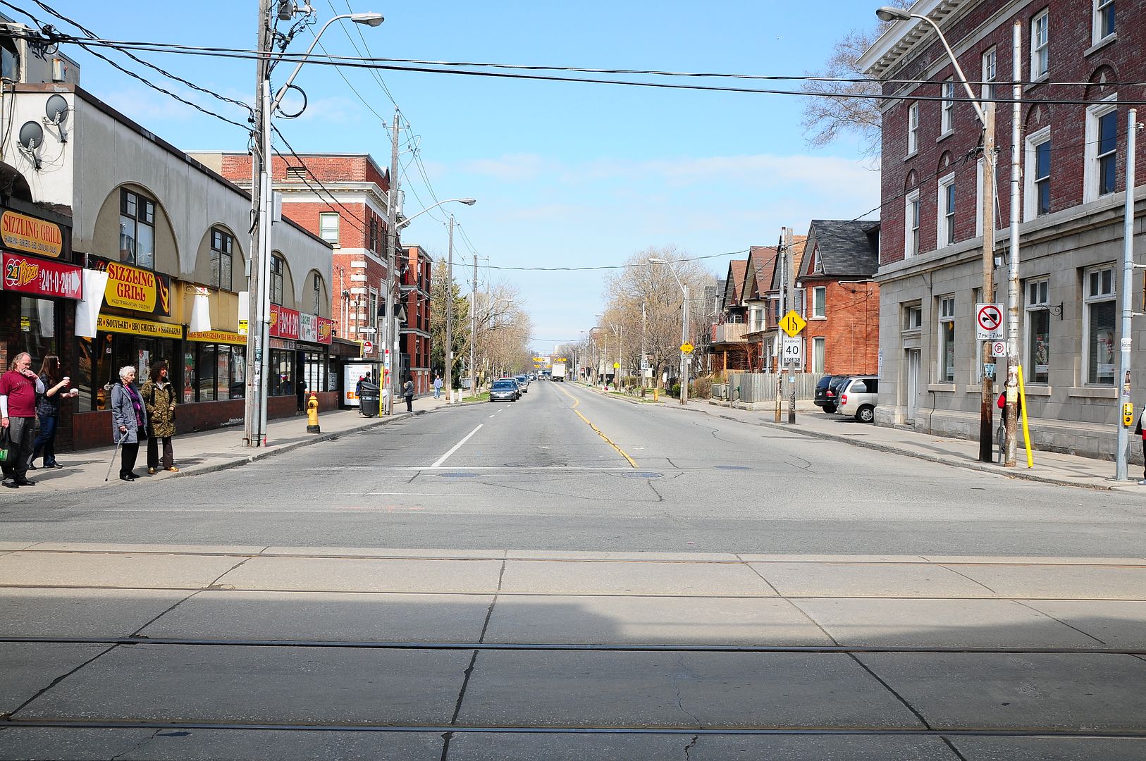
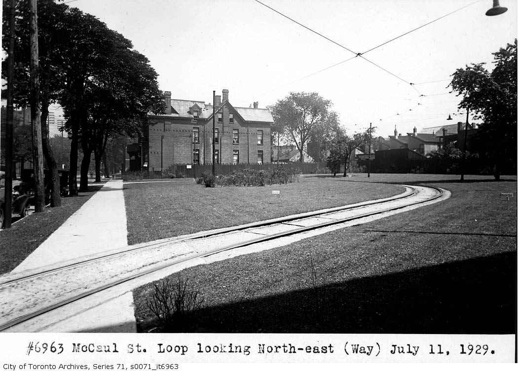
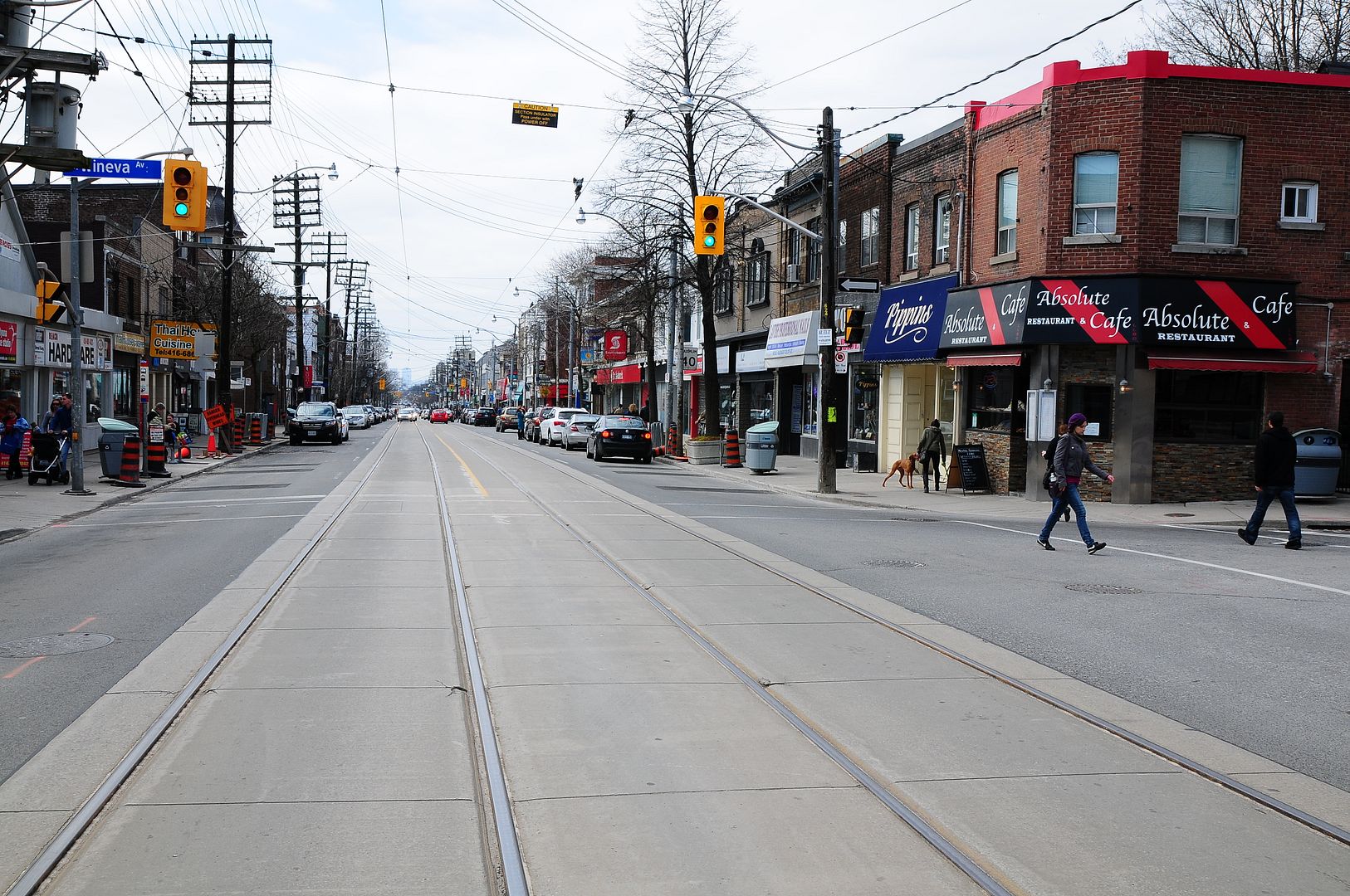
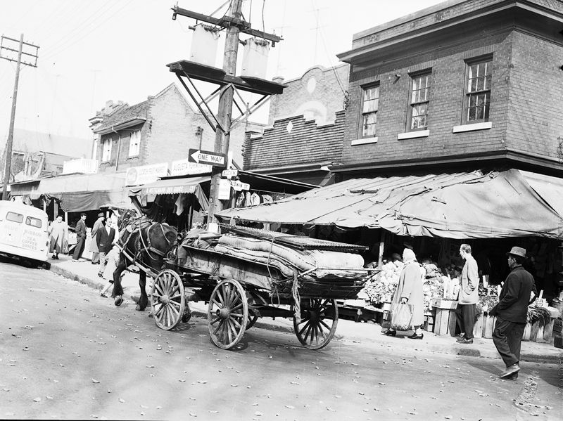
goldie, i went back yesterday to take a few more pictures

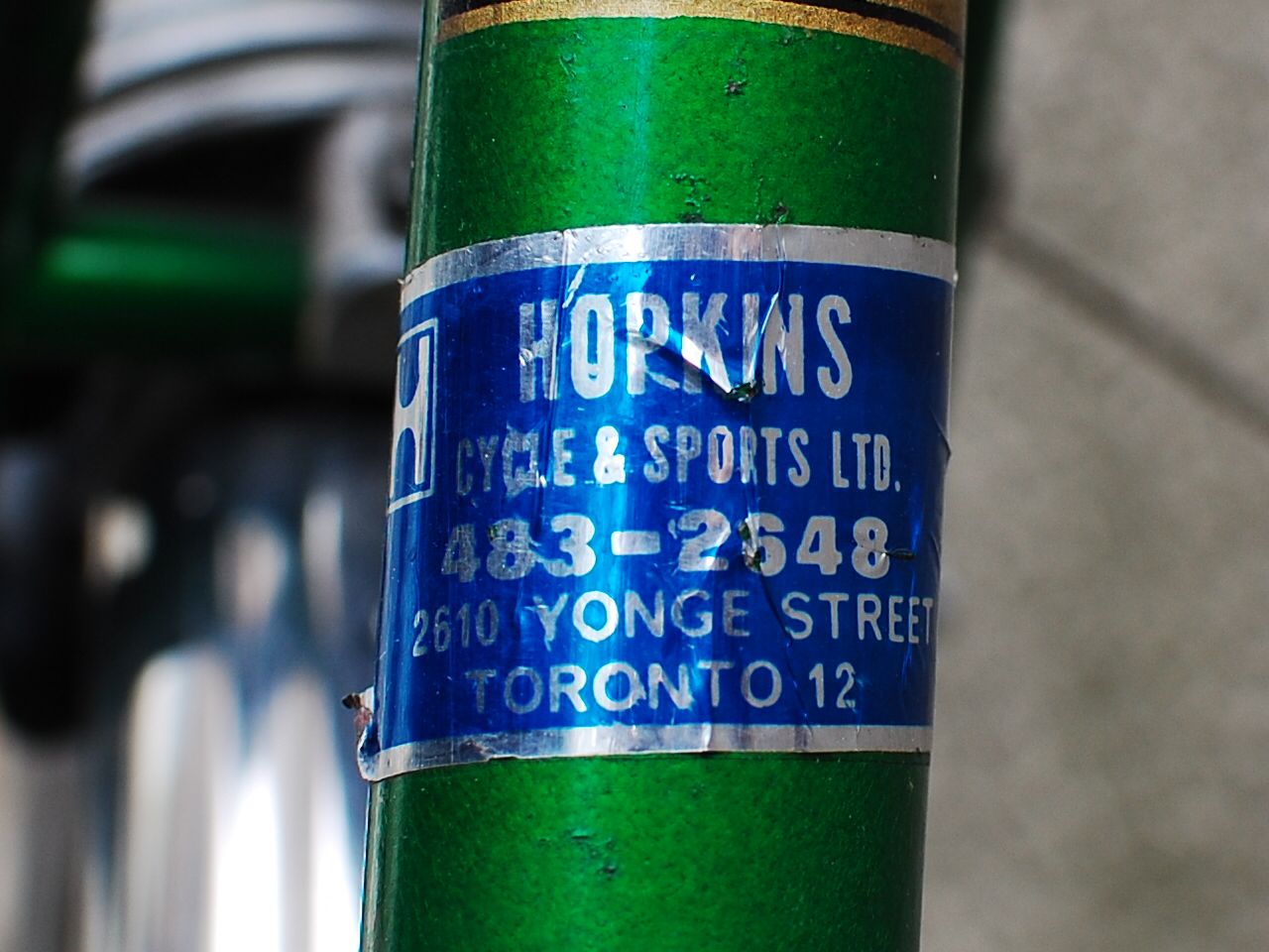
i'll be using a couple of them later to fill in some gaps in my story about royal drive, and i have one picture that i think is a better candidate for your "then and now" --

Winchesteratzoo1907.jpg


winchester-street-looking-east.jpg


feel free to use :)

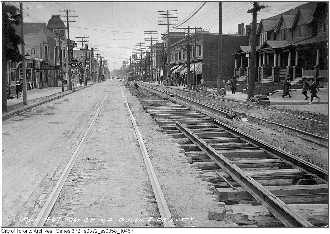
i'm also planning a new story about finding the exact location of the winchester street bridge
 
That's a really accurate comparison with the 'then.'
Good work, rudy!
 
From the mid 1930s or so, up until about 1988, Hopkins' (son Ken and his dad - his dad's name eludes me right now) Cycle and Sports at 2610 Yonge was the place in North Toronto to get bikes and sporting gear. For those of you of a certain vintage, you may remember it was located at 2618 Yonge before they moved into the bigger location. My old Peugeot bike purchased from Hopkins is still with me.

Here are a couple of pictures, of my old 'stuff', that requires, um, storage space. :)

CSC_0286.jpg


CSC_0289.jpg
 
Then and Now for July 30.


Then and a little bit later. c1950. Queen and Landsdowne.

701.jpg


702.jpg


Now. April 2012.

703.jpg
 
Lansdowne Ave., widened in 1946, narrowed again in 1998. Nice little chronicle of the beginning and end of our love affair with the motor car.
 
Then and Now for July 31.


Then. McCaul st. loop looking NE. July 11, 1929. Just a tidge over 82 years ago. What were you doing that day.. for those of you old enough to remember? :)

704.jpg


Now. April 2012.

705.jpg
 
Then and Now for August 1.


Then. May 28, 1915. Looking W along Queen from just E of Wineva. Leuty is in the left distance; where the turreted building (in both pictures) is.

706.jpg


Now. May 2012.

707.jpg
 
Then and Now for August 2.


Then. Baldwin and Augusta. NE corner. I can't remember where I got this picture but its accompanying notes date it as 1964 - I find that hard to believe. 1954 would seem more believable. Did it make any economic sense to have a horse as a means of transportation by the standards of 1964?

708augustaandbaldwin1964.jpg


Now. April 2012.

709.jpg


Kensington Market, still referred to by my 80+ year old relations as the Jewish Market, is, along with the Baldwin Strip to the east, (between McCaul and Beverley) one of the jewels of Toronto - small in scale, enclosed and intimate, pedestrian and bike friendly, lined with small independent businesses of quality without pretensions.

When I feel pretentious, there's always Pusateri's. :)
 
Then and Now for August 2.


Then. Baldwin and Augusta. NE corner. I can't remember where I got this picture but its accompanying notes date it as 1964 - I find that hard to believe. 1954 would seem more believable. Did it make any economic sense to have a horse as a means of transportation by the standards of 1964?

708augustaandbaldwin1964.jpg


Now. April 2012.

709.jpg


QUOTE]

The only clues to the date would be the rectangular parking restriction sign on the lamp post if anyone knows when that style was introduced. I think the older versions had that slope in the top of the letters that you can still find on the "No Parking Between Signs" signs that are found in front of hospitals around downtown, and the ONE WAY sign. When did those first appear on city streets? I dare say that the lamppost in the foreground is actually still the same wooden pole.
 
Last edited:
Yes, those are good clues, Albert.
And the street-name signs are the same design as in place today.
 

Back
Top