thecharioteer
Senior Member
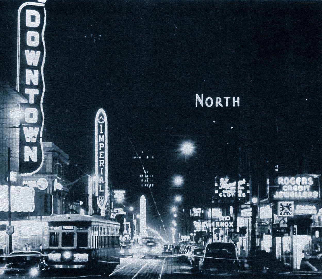
Then and Now for July 23.
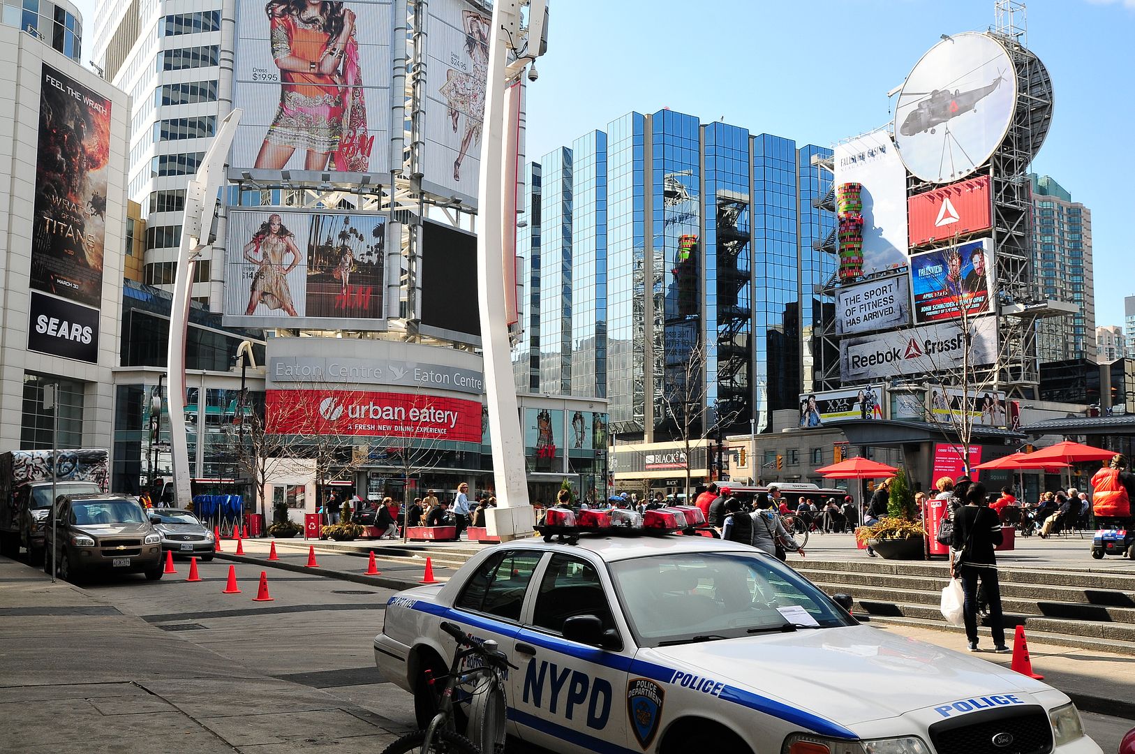
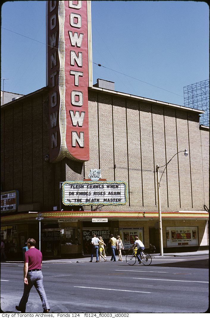
Then. Looking WNW along Dundas Square towards Yonge. 1980ish.
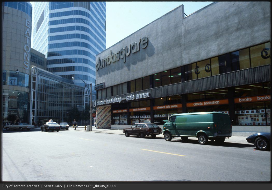
Now. May 2012. Hmmm, some 'movie prop cars' in the foreground. Toronto is standing in for New York City (again).
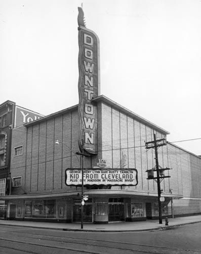
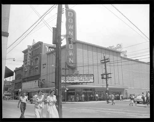
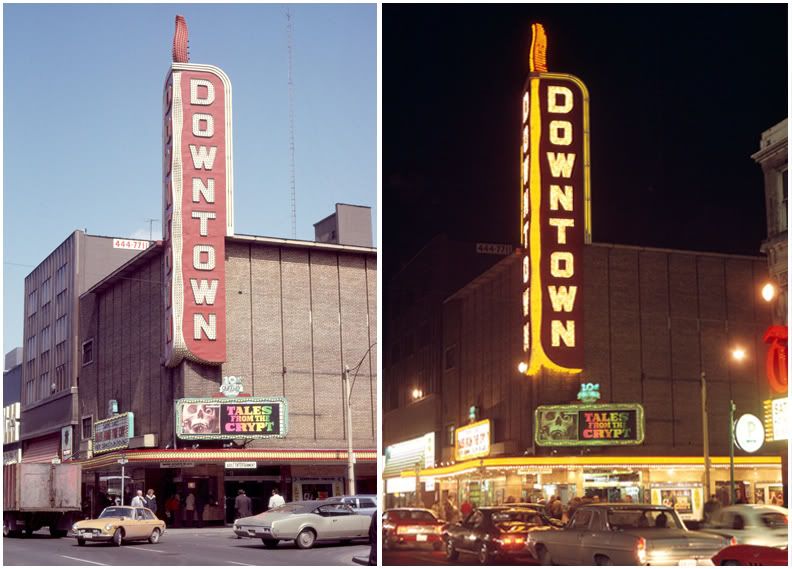
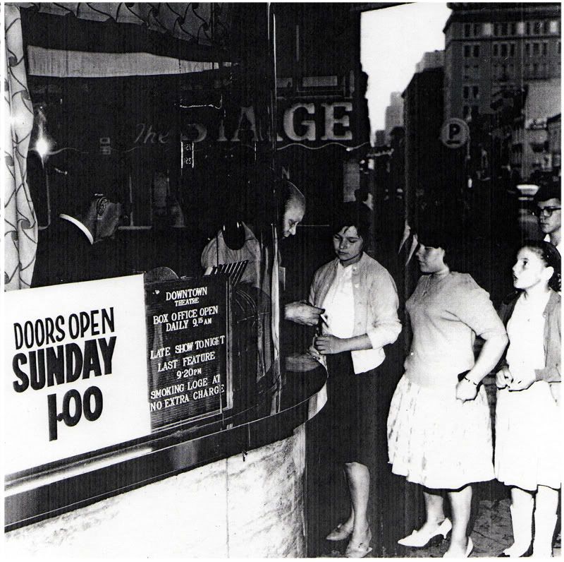
Let's not forget the iconic Downtown Theatre, which was gutted to create the commercial building shown in the earlier pic:
Last edited: