News   GLOBAL  |  Apr 02, 2020
 8.4K     0 
News   GLOBAL  |  Apr 01, 2020
 39K     0 
News   GLOBAL  |  Apr 01, 2020
 4.7K     0 

DSCF0873.jpg

Thanks for posting.

The slummy rowhouses in the upper-left corner look like Percy St. in Corktown.
 
The sheer numbers and visual homogeneity of the new buildings - especially residential towers - shown in those 1969 aerial views is startling, and the construction of a few historicist throwbacks here and there since then hasn't knocked us off-message. Nothing seems to come between us and our strong post-WW2 Modernist roots, though I suppose the increase in land values and availability of space has prompted the creation of point tower versions.
 
The sheer numbers and visual homogeneity of the new buildings - especially residential towers - shown in those 1969 aerial views is startling, and the construction of a few historicist throwbacks here and there since then hasn't knocked us off-message. Nothing seems to come between us and our strong post-WW2 Modernist roots, though I suppose the increase in land values and availability of space has prompted the creation of point tower versions.

I'll tell you what else is startling - the blockbusting that occurred to build those buildings in the Yonge and Eg area on Keewatin and Erskine avenues. Those two streets went from vibrant residential to slummy to cleared in about a decade. Breathtaking it was.
 
An architect who lived in Cabbagetown in the mid-1960s once told me that quite a few of his neighbours - living east of Parliament and north of Gerrard - were disappointed when developers didn't offer to buy their places for the St James Town II that many assumed would be built there. Developers were building speculative towers in farmer's fields at the north end of the city in those days, knowing that an infill of low rise sprawl would eventually catch up with them - which is what happened.
 
It is interesting that all those apartments ended up in the suburbs. Can't think of another city in North America where that took place in the 60's and 70's. Why Toronto?
 
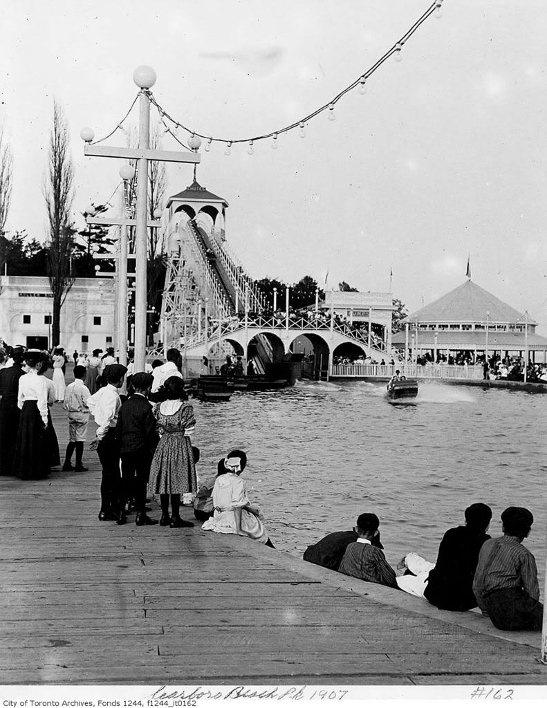
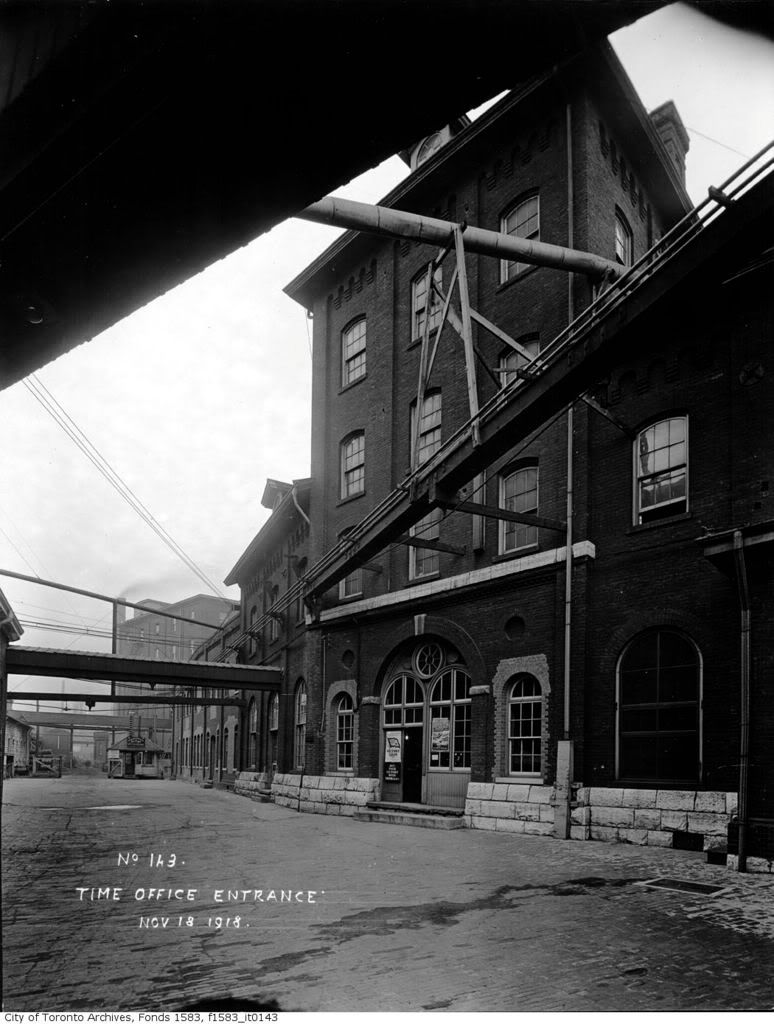
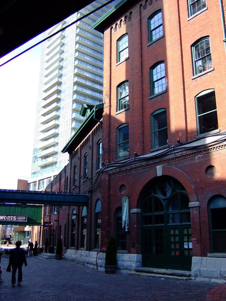
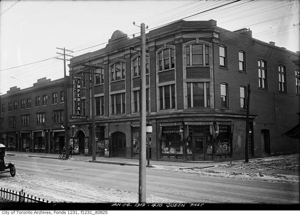
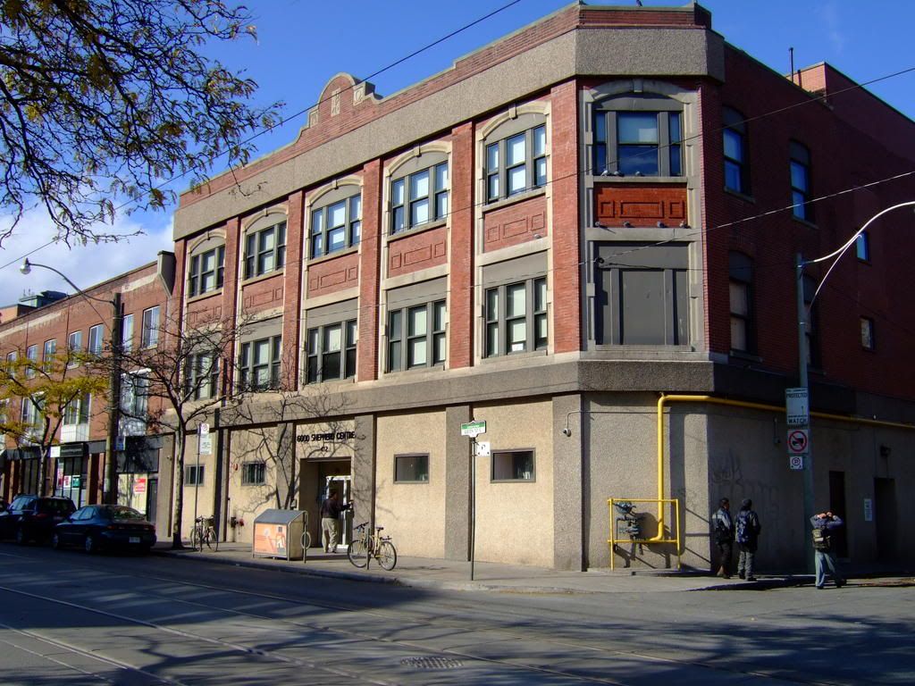
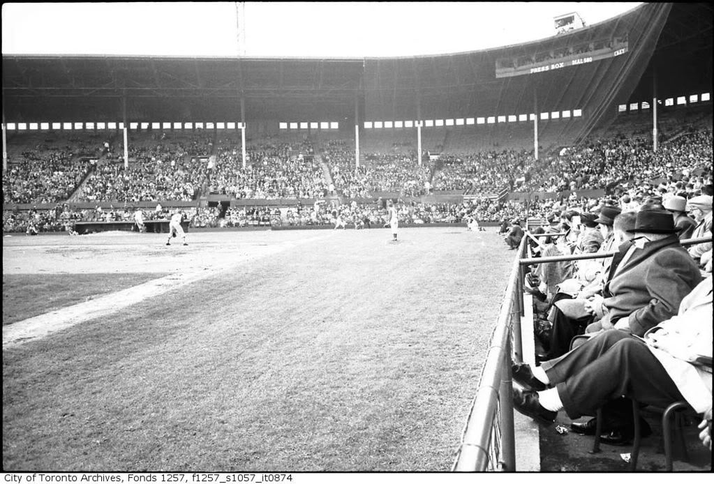
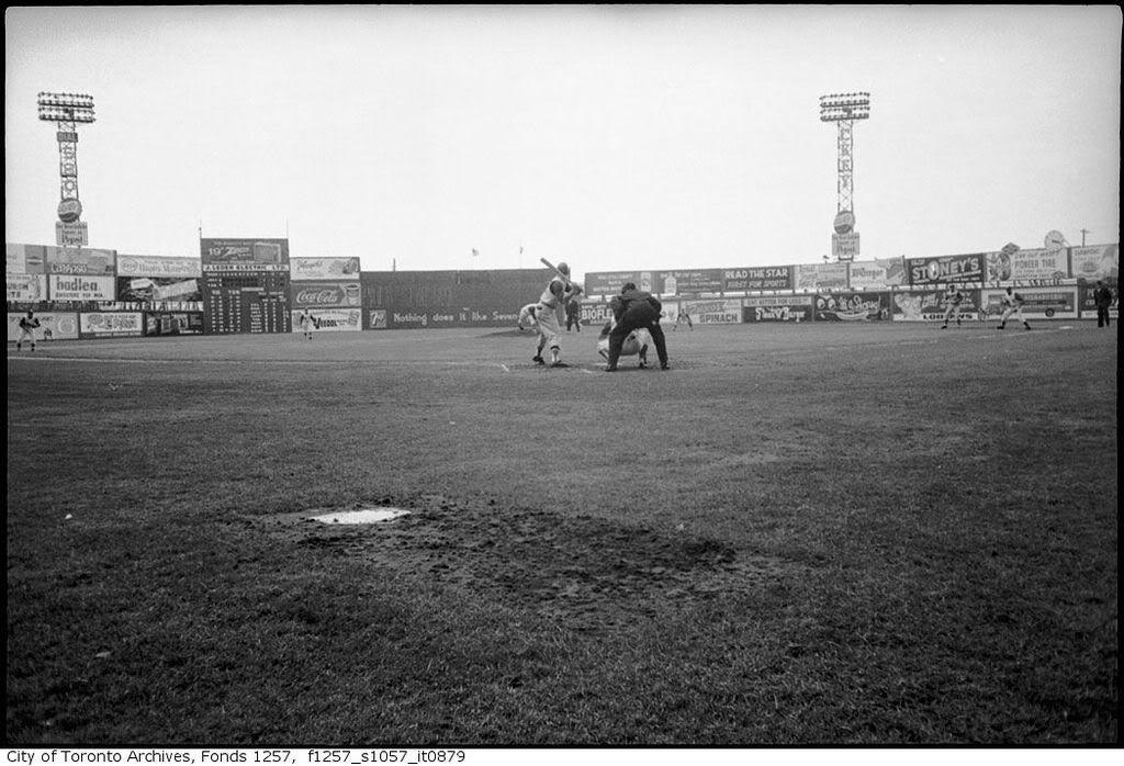
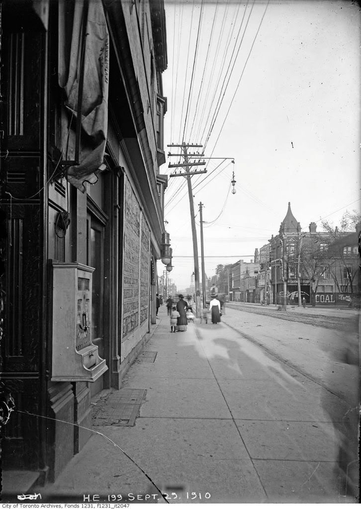
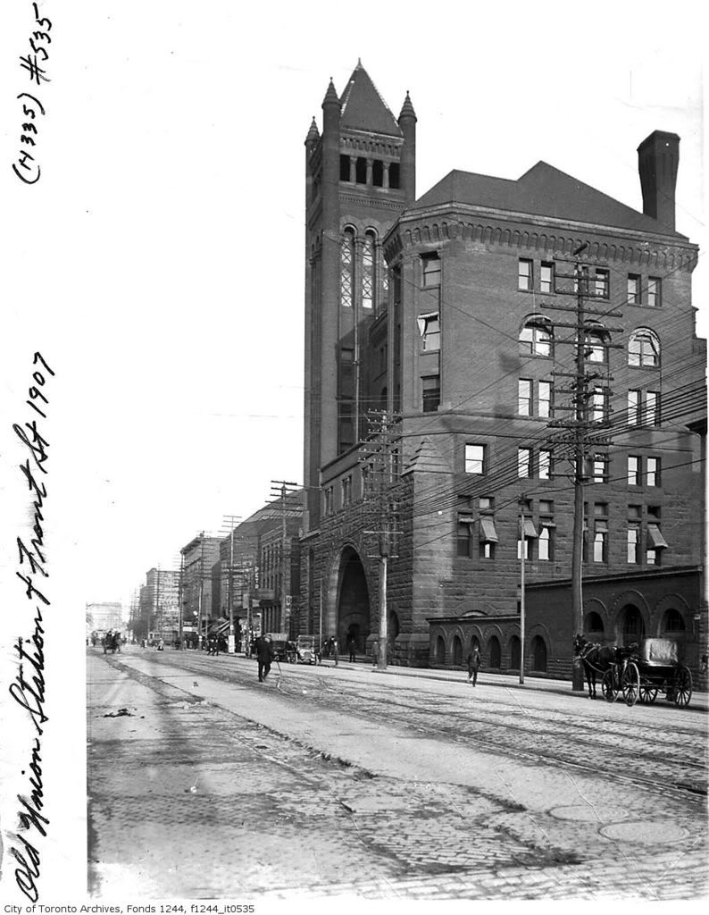
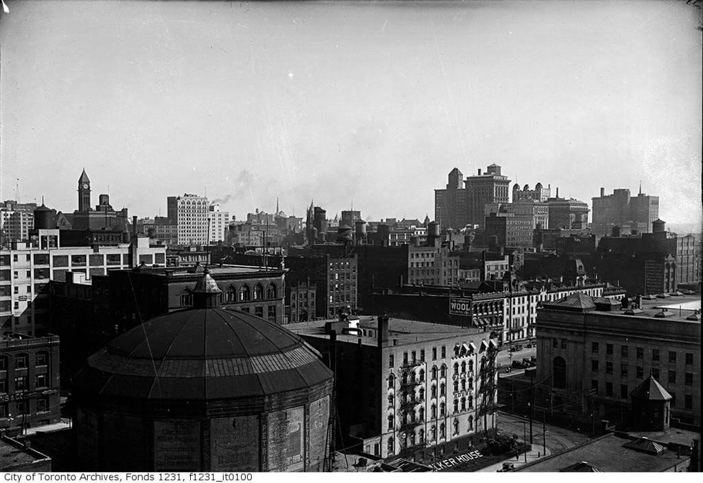
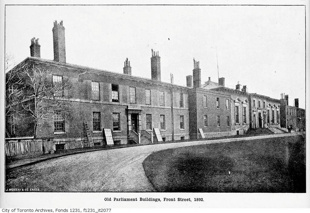
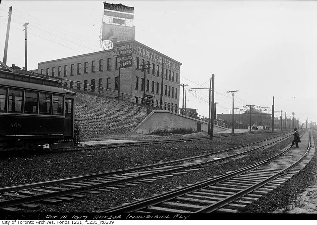
Our version of the popular, post-WW2 suburban dream, I guess. People in big cities all over the first world were moving out of grimy, slummy downtowns to live in brand new houses and bungalows, or apartment buildings surrounded by park land, or in entirely new planned towns set up for them. In our case there was plenty of land available on the outskirts, and enough speculative developers to cater to that dream. Many of the houses on the Toronto Islands were demolished for park land, the Gardiner and the DVP were built to cater for a commuting society, and Cabbagetown was "renewed" by the creation of St James Town and Regent Park ... to feed the same appetite for renewal.
 
All those condos on the waterfront should be demolished and replaced with park land.

Something to this idea; if I may be off the wall here and amplify it a bit: landfill all the way out to the island and beyond. Fill would be from tunnelling the new Queen, Eglinton, Lawrence, Finch and Steeles east-west subways. The island airport is no longer an island airport.:) Build on the reclaimed land; not forgetting to set aside your parkland. Build your Toronto Aquarium there; have space for your permanent 'sports village', good to go for our next games bid.:eek:
 
Nah ... good idea maybe 100/200 years from now.

We have a ton of land in the portlands left to develop let's wait until that's done first and even more intensification ... otherwise what you're asking for, as funy as it sounds, is downtown SPRAWL. Which would occur unless there was very careful planing. I love the current plans for the portlands but if the area was simply turned over to the industry I think we'd get a mess! When your talking about large plots of empty land you need a lot of government intervention as much as some don't like that idea. When you're talking about an already built up area that's not needed.

Parkland all over the waterfront? How about no....
We have tons upon tons of parks in Toronto and not everyone lives or will go downtown we don't need so many parks. If you did such a thing they'd be empty even in the summer! We have the islands which are amazing as is. I do agree a few of the older buildings on the waterfront should be torn down and replaced with something more pedestrian friendly and some parks should be built. What I really want to see is more attractions! A museum possibly an Aquarium.
 
The Queen and Broadview pic actually wasn't that hard to figure out, Jilly's gave it away.

All these comparisons are fascinating.
 
Oct 31 additions. Many thanks to the admins and mods for their tireless work

Thanks syn, we aim to please. ‘Shoot The Chutes’ at the long gone Scarboro Beach Amusement Park.
fo1244_f1244_it0162.jpg

Looking north from Hubbard Blvd and Glen Manor Drive.This building is where the pool of water was. This building is of very recent construction. A prior building - a 2 story walk-up - was famous in the neighbourhood for its noticeable sinking at one corner due to ground subsidence.
DSCF0911.jpg


College Street looking west from University Ave.
ser376_fl0005_s0376_fl0005_it0062.jpg

DSCF0895.jpg
 
Last edited:
Nov 10 additions

Distillery district

fo1583_f1583_it0143.jpg

DSCF1111.jpg


410-412 Queen East, north side, just east of Parliament.

fo1231_f1231_it0825.jpg

DSCF1115.jpg


Maple Leaf stadium

fo1257_ser1057_f1257_s1057_it0874.jpg

DSCF1117.jpg


fo1257_ser1057_f1257_s1057_it0879.jpg

DSCF1118.jpg


Queen and Spadina, looking east

fo1231_f1231_it2047-1.jpg

DSCF1119.jpg


Front street south side, just west of York.

fo1244_f1244_it1099.jpg

DSCF1128.jpg


'Old' Union Station... my gramps detrained here

fo1244_f1244_it0535.jpg

DSCF1129.jpg


Guess where?
['Now' picture taken through a window, it;s the best I could do]
fo1231_f1231_it0100.jpg

DSCF1130.jpg


Old Parliament buildings

fo1231_f1231_it2077.jpg

DSCF1132.jpg


Some kinda old school for 'family compact' type youngsters - one of the alumnus lives two doors away from me; he told me this factoid. He turned out ok, thanks goodness. NOTE: 'Now' picture coming soon!!!! :) --- UCC was located on the north side of King, taking up the block between John and Simcoe.

fo1244_f1244_it0300.jpg

DSCF0957.jpg
 
Last edited:
A couple of nice images of the former Cyclorama ( "PETRIE" building ), torn down in the mid-1970s. It flourished, briefly, in the late-1880s and 1890s before cinema arrived.
 
Nov 10, more...

Thanks Edna, here's a couple more

I'm requesting UT forummers help on this one.

I'm not entirely sure... The old picture shows the Sunlight soap factory on Eastern ave. The BMW showroom is there now. The new picture shows what I think is the correct perspective but the fact that the 'Conroy' building was torn down and a near identical three story building built in its place doesn't make sense to me.

fo1231_f1231_it0209.jpg

DSCF1114.jpg
 
Unless the "Conboy" (sic) was where that concrete building is--or even where the Richmond/Adelaide/Eastern connector is.

Re UCC: wasn't that on the *north* side of King? (Replaced by the Royal Alex and the rest of the Mirvish industrial strip.)

And what might the date of this be, I wonder...
fo1257_ser1057_f1257_s1057_it0879.jpg

Interesting old ads--was Steak'n'Burger around that early?
 

Back
Top