Mustapha
Senior Member
Once again I'll ask this question...
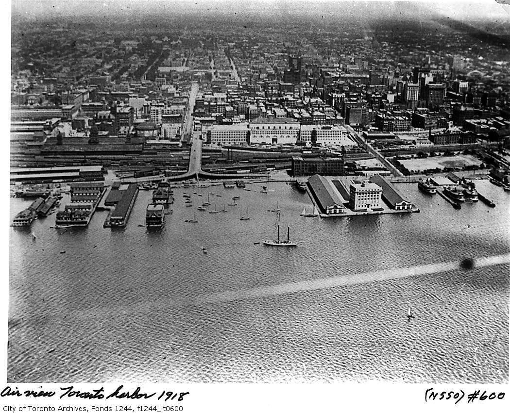
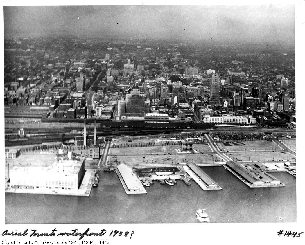
Obviously Wellington was a two-way street at this time. What happened to the traffic when it reached the Five-point intersection at Church? How was this intersection controlled safely? On a green light, some Westbound Front traffic would go on Front and some to Wellington, but the Eastbound Wellington traffic would be crossing the Front traffic as it did so.
Front was two-way and Wellington was two-way... I don't get this and I'm too young to remember it that way.
From other pictures I've seen, there was no special traffic light as complex as the ones we have today. Does anyone know? I am curious.
Still unanswered after 3 days.
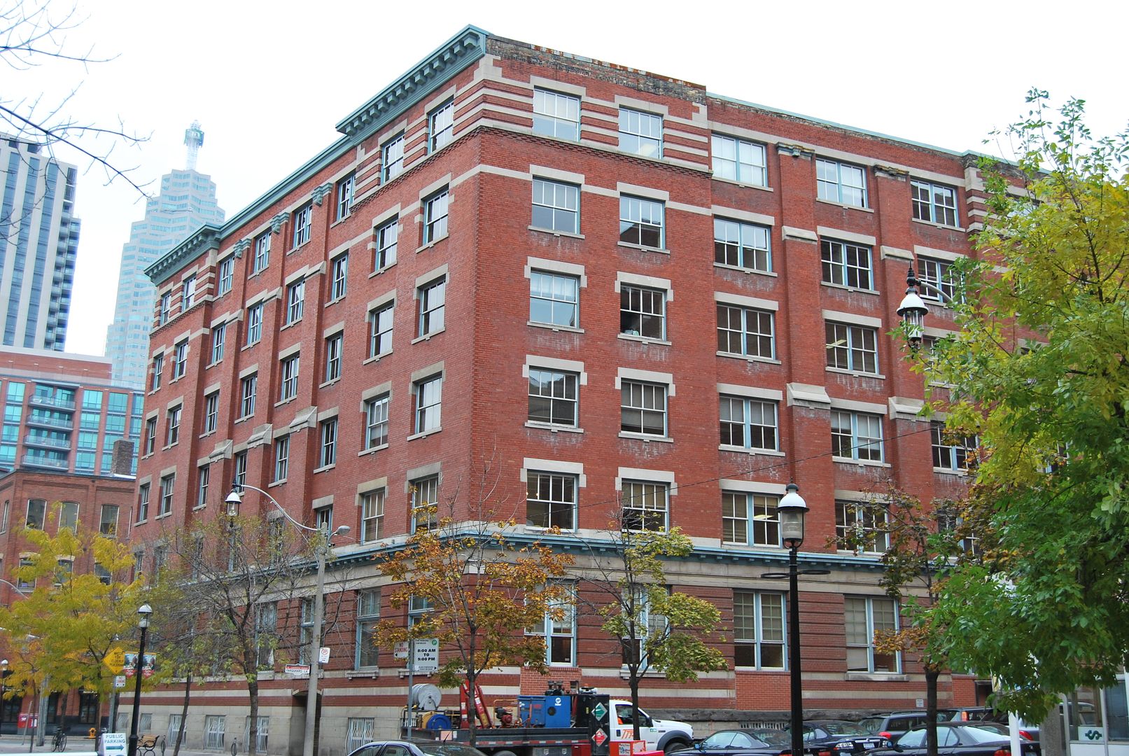
That's 3 Church Street. Now, somewhat coincidently, home to Bousfields Inc (Planning Consultants) www.bousfields.ca and N. Barry Lyon Consultants Ltd. (market analysis) www.nblc.com
I have to duck in for a look. I wonder if the interior has been sympathetically treated.
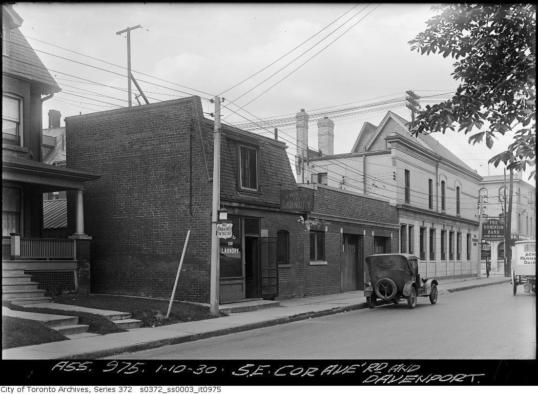
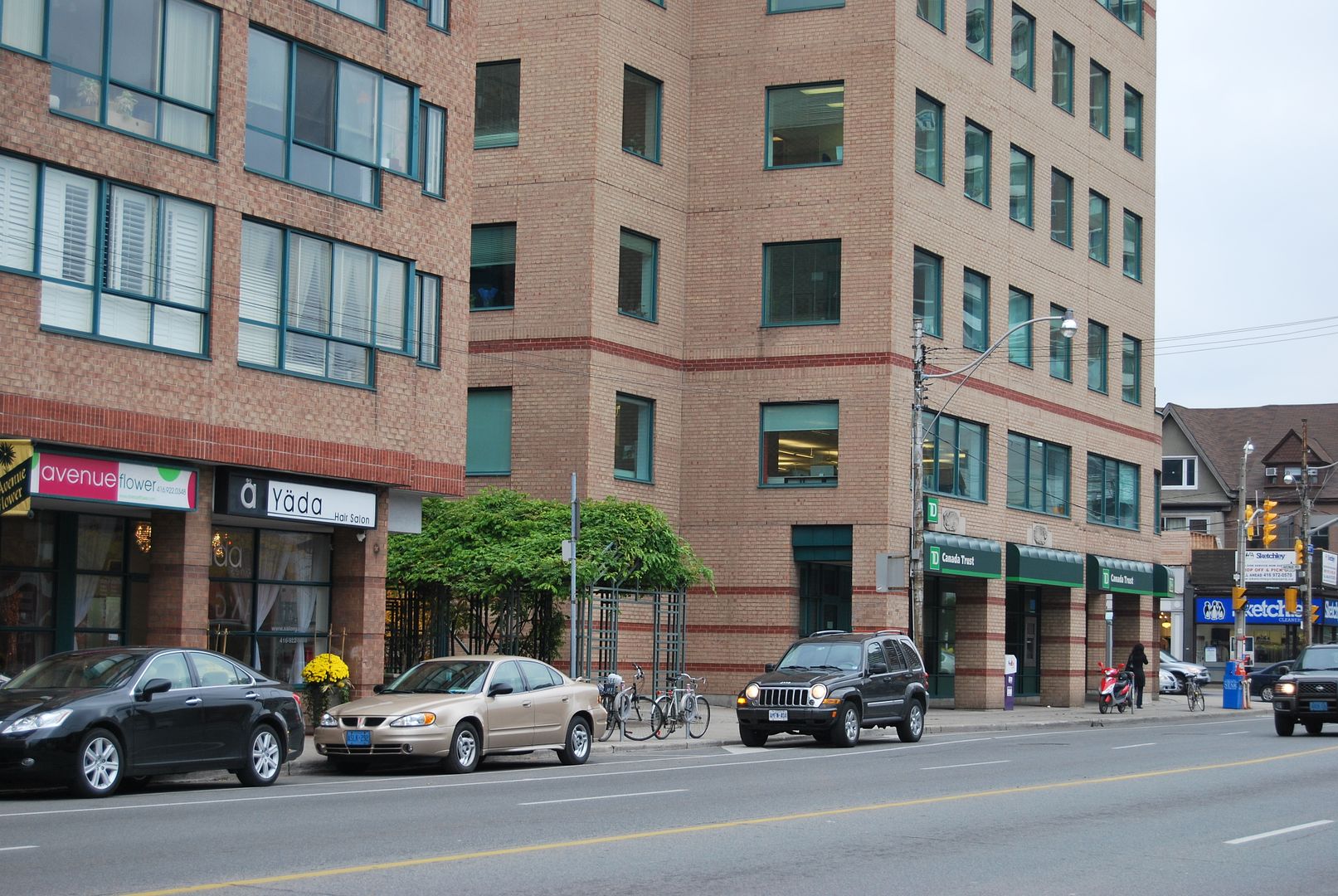
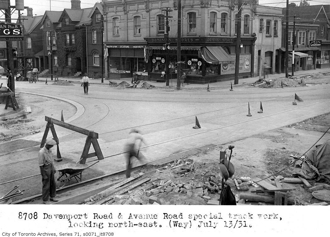
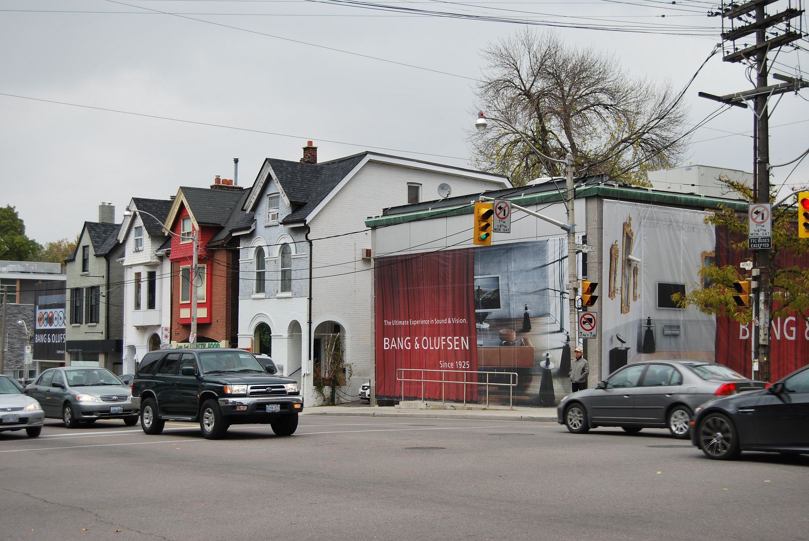
Directly across the street, the SE corner of Av & Dav, other buildings lost in the widening (and TD has still maintained a presence!). It's quite amazing to consider the number of houses demolished through road improvements such as the Davenport widening, the extension of Bay Street to Davenport and the linking of Davenport to Church:
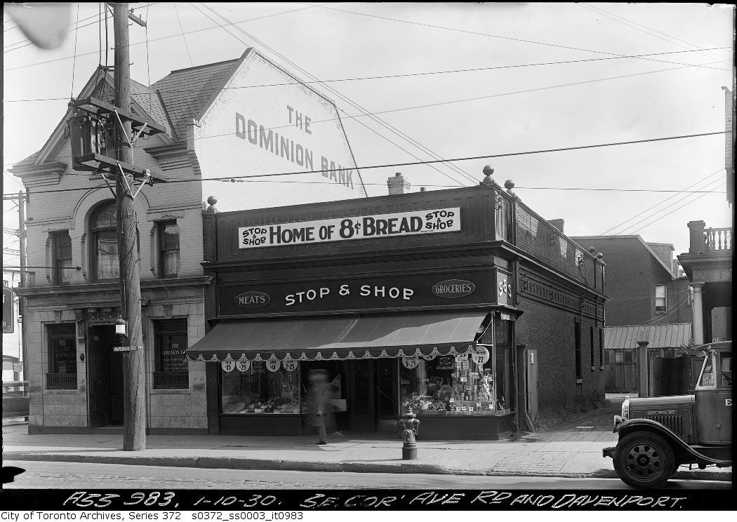
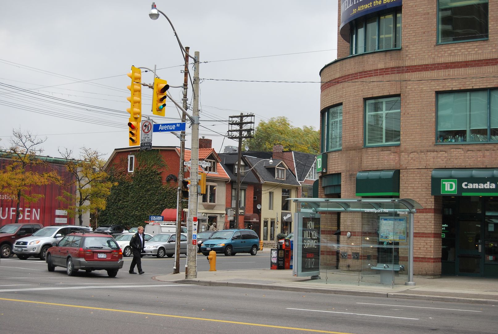
Food for thought: the replacement for said Dominion Bank was by John Lyle--demolished in the 1980s (though the very Lyle-esque reliefs were incorporated into the midrise replacement)
I can't even remember the pre80s building; anyone have a picture?


