thecharioteer
Senior Member
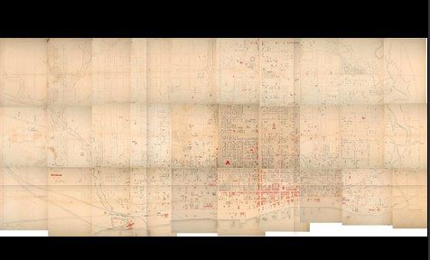
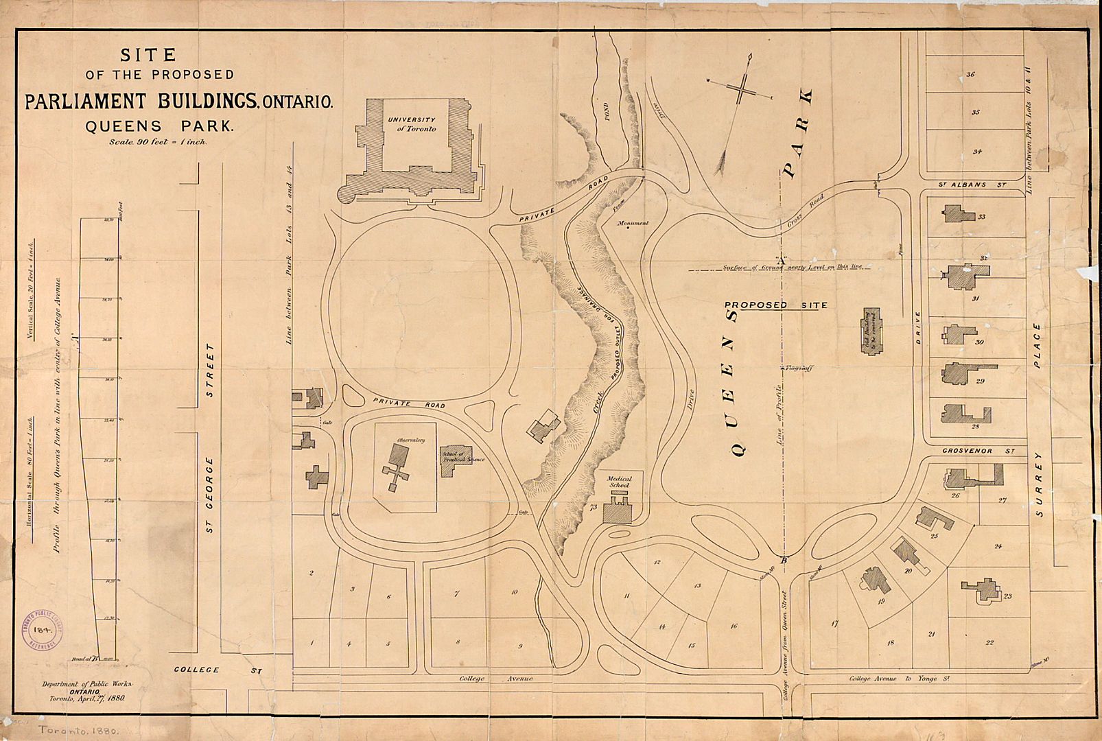
1834 (TPL):

Last edited:
|
|
|
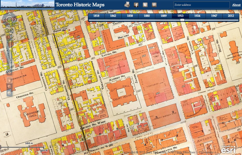
Very nice, Nathan! One minor suggestion, though: shift the maps north of Queen to make the width of Yonge more consistent (and line up Osgoode Hall to reflect its position at the top of York).
")
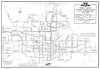
I'm delighted to share an exciting new online project by Chris Olsen, called the Toronto Historic Maps viewer (although I didn't work on it I had an oblique role in its creation -- see link below). It's an interactive map that allows you to pan around and zoom in and out of various historical plans (including the previously discussed 1858 Boulton Atlas). What's more, you can easily switch between years to see how neighbourhoods evolve and change over time. Please explore and share!
Click here to find out more...
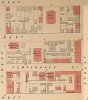
As many of you know, I love old maps, and we've all seen various editions of the Goad Fire Insurance Maps. The Toronto Public Library has recently revamped their website and have posted high-res versions of maps from their extensive collection.
Here are a few:
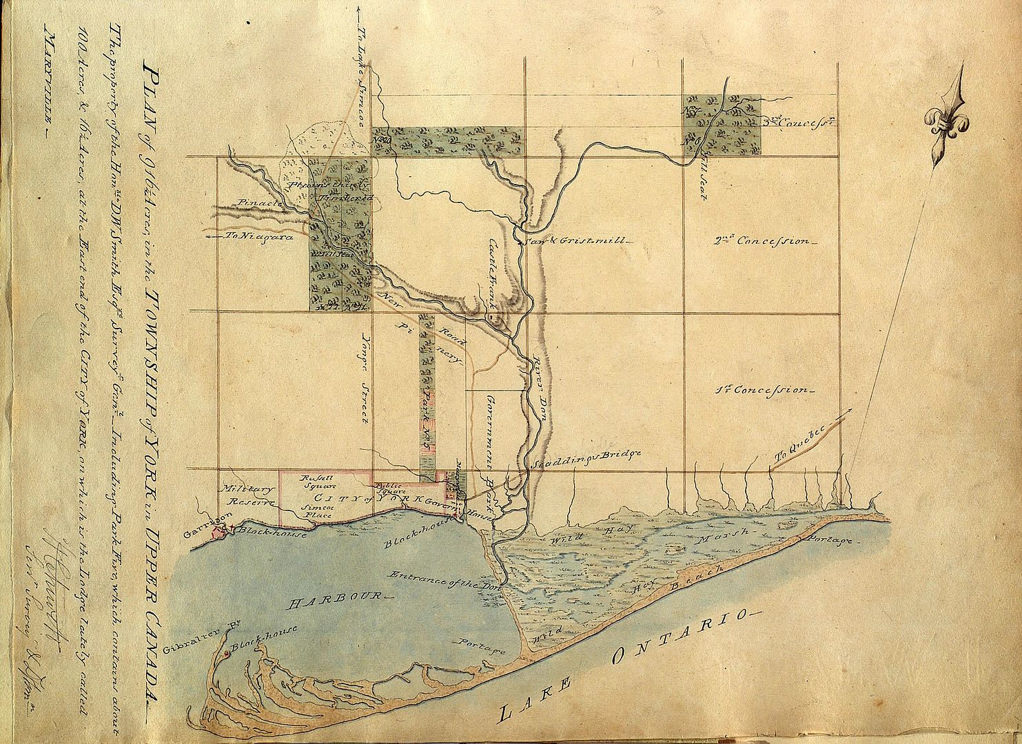
1792:
1797:
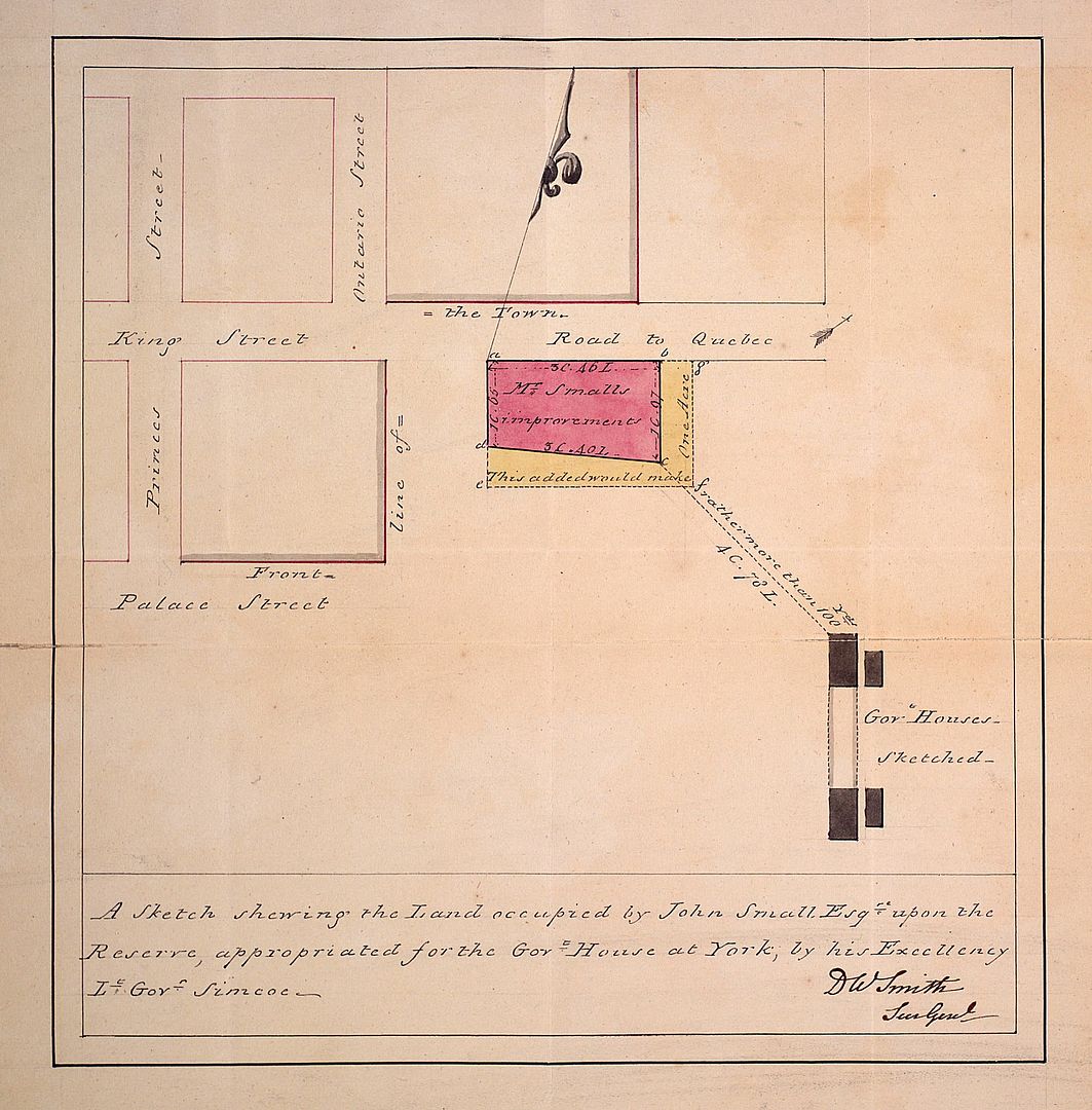
1802:
1802: An elegant survey of the property known as Berkeley House, now part of 333 King Street East:
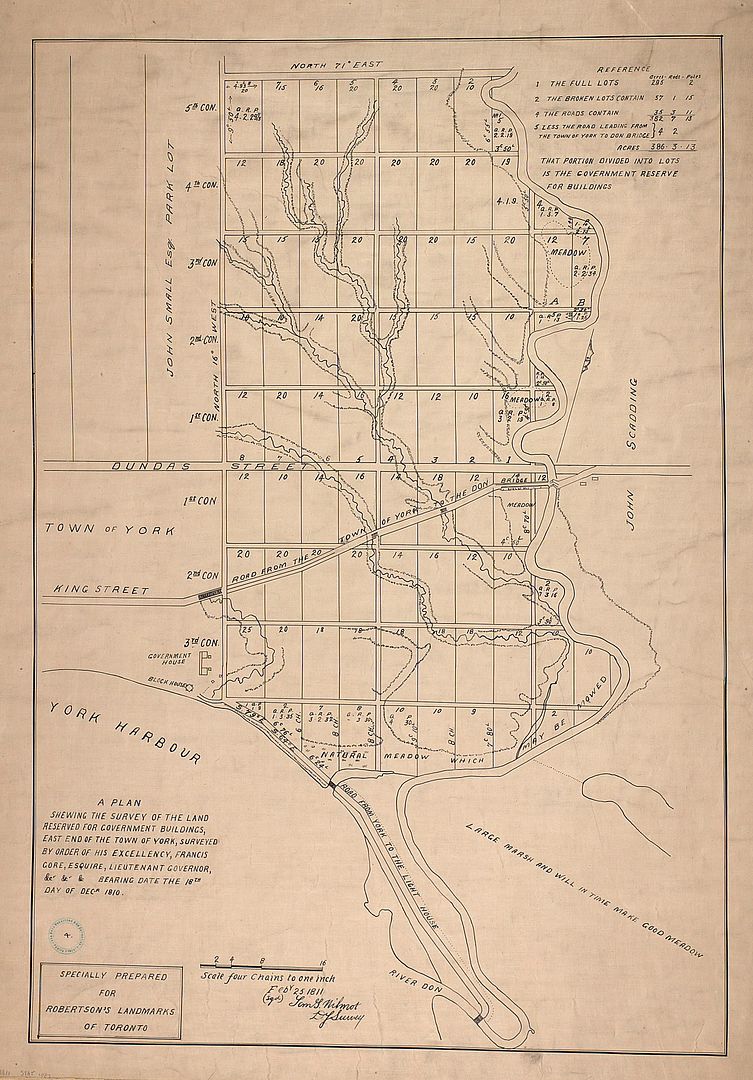
1810, the Don River:
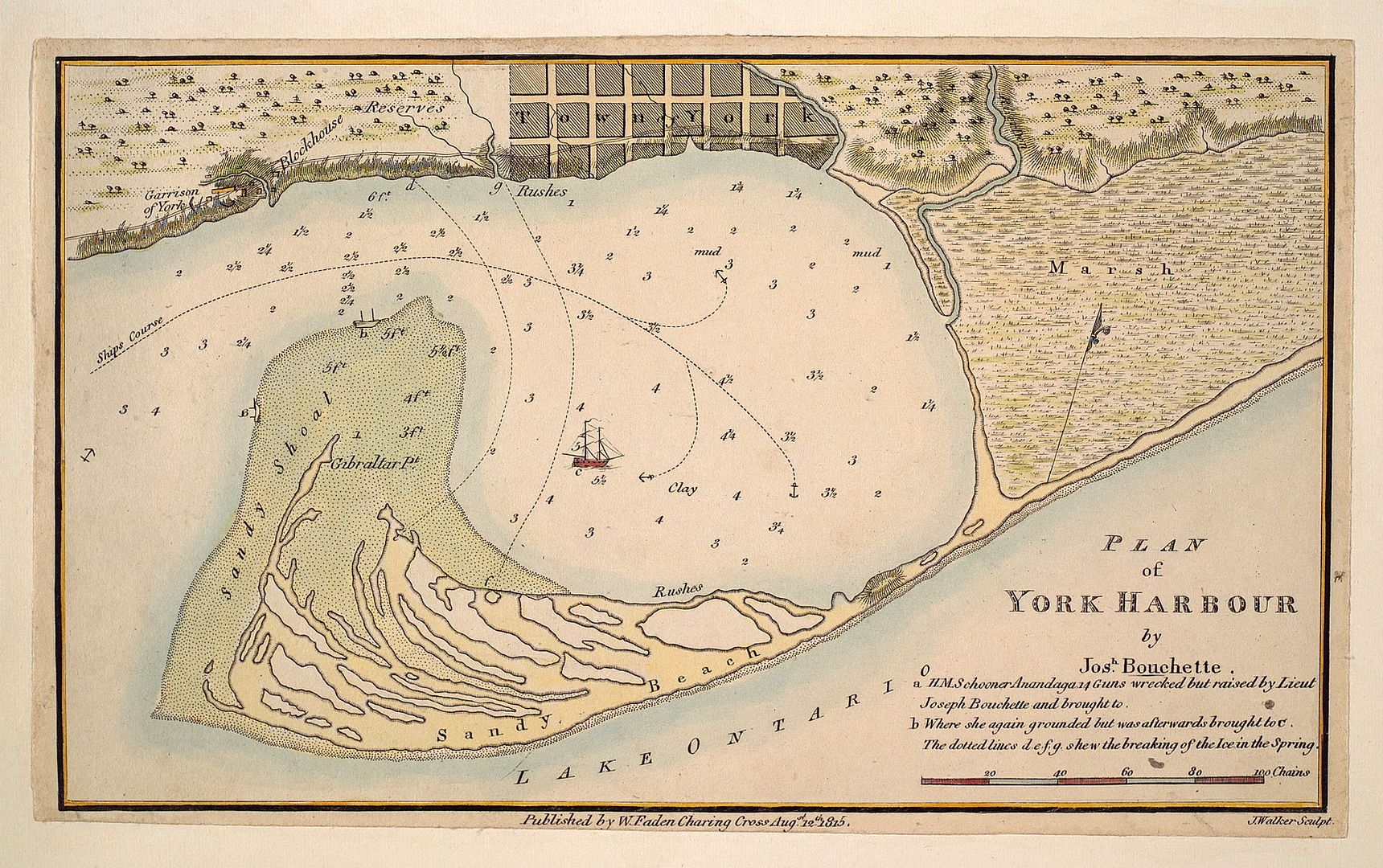
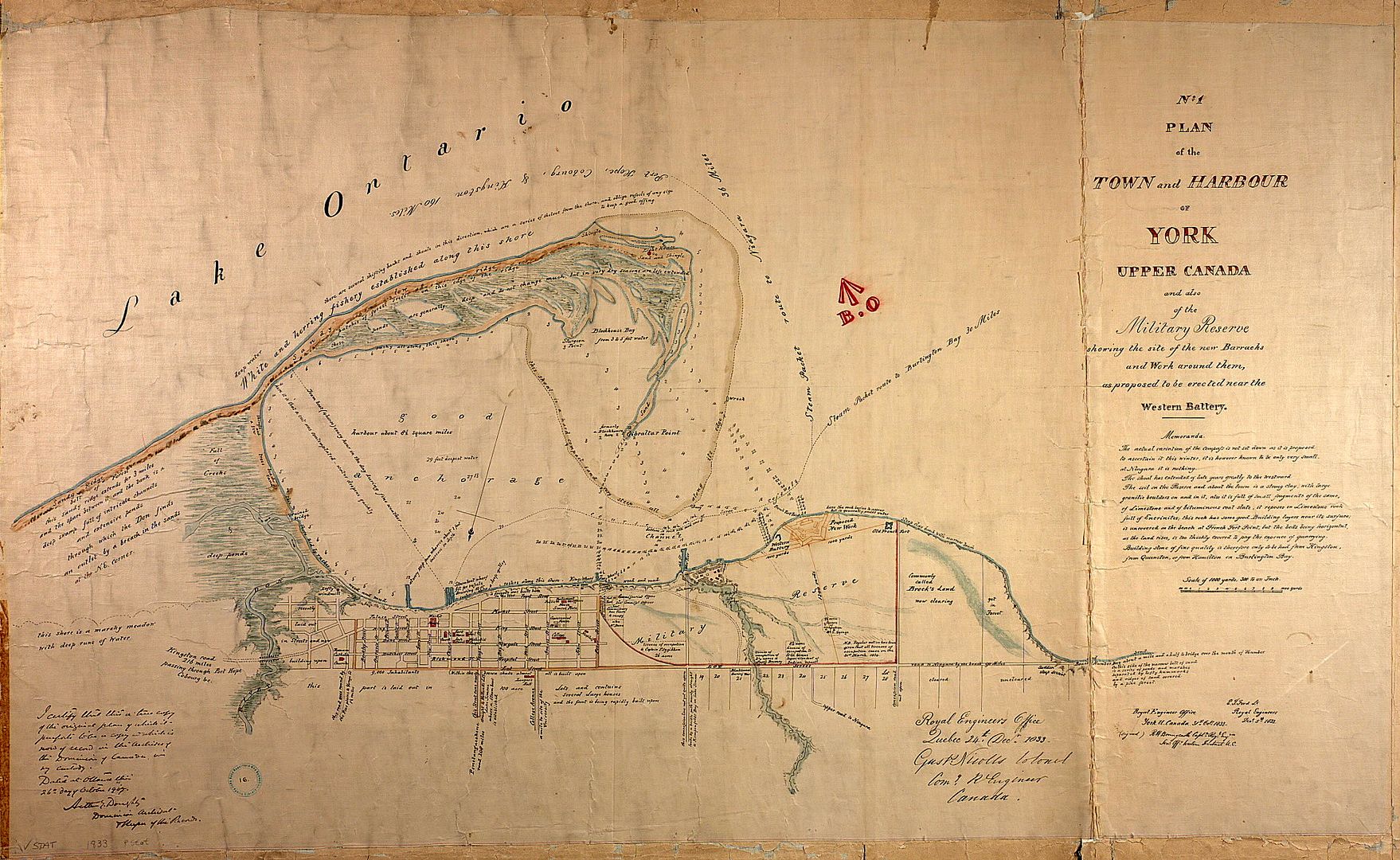
1815:
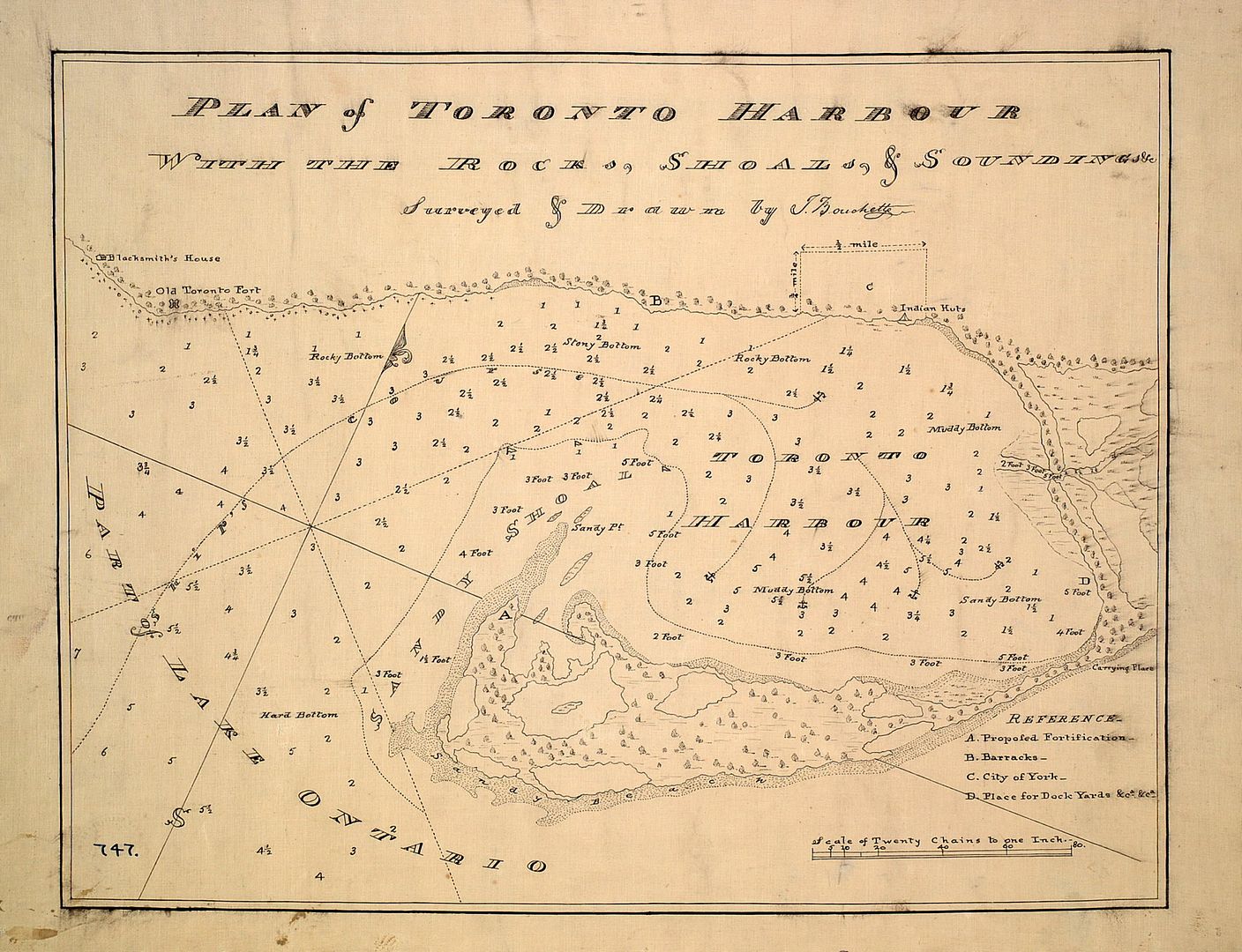
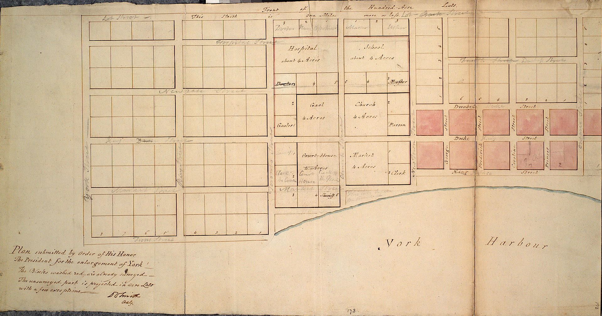
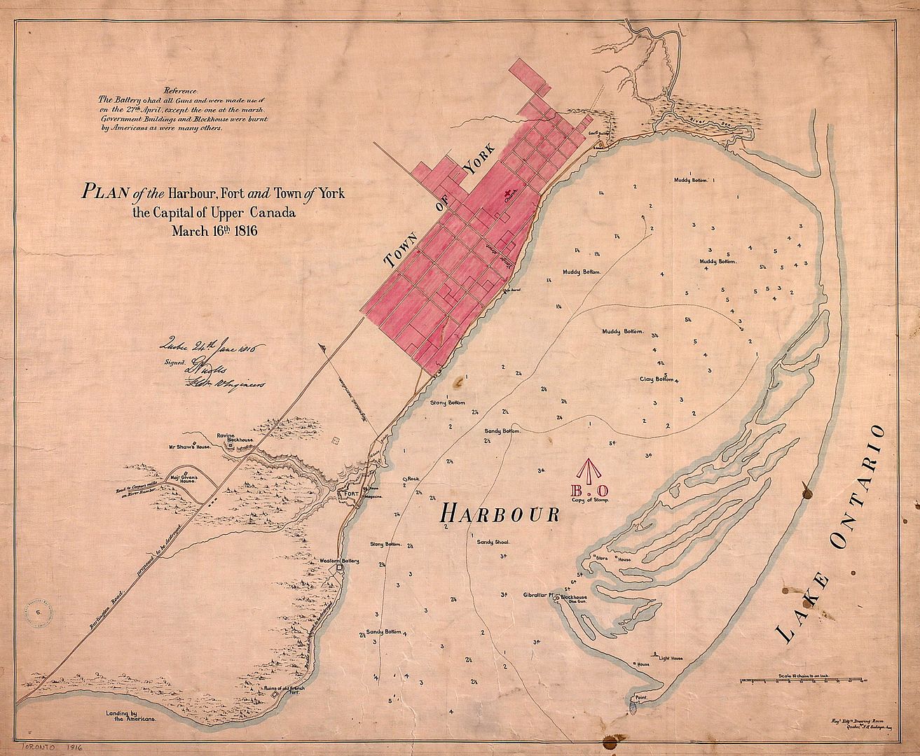
1816:
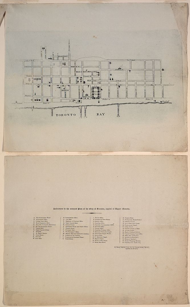
1833: A different way of looking at the City:
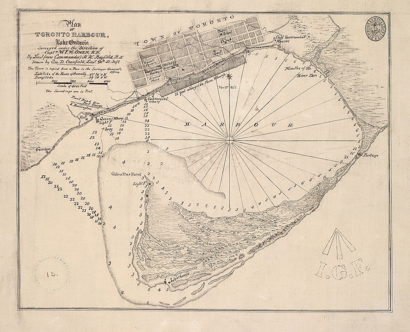
1848:
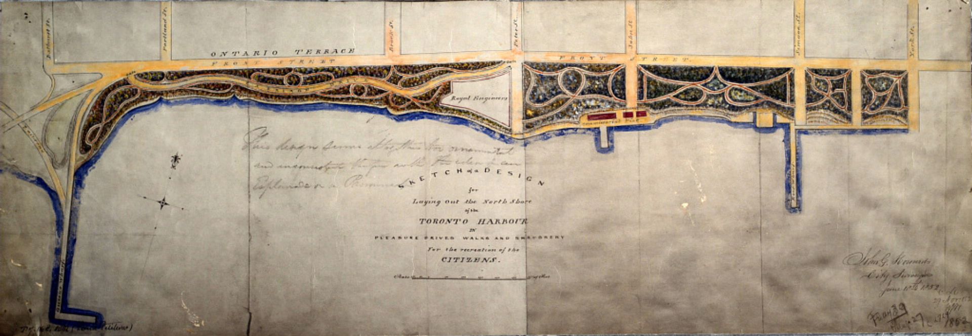
1852: Early version of Harbourfront:
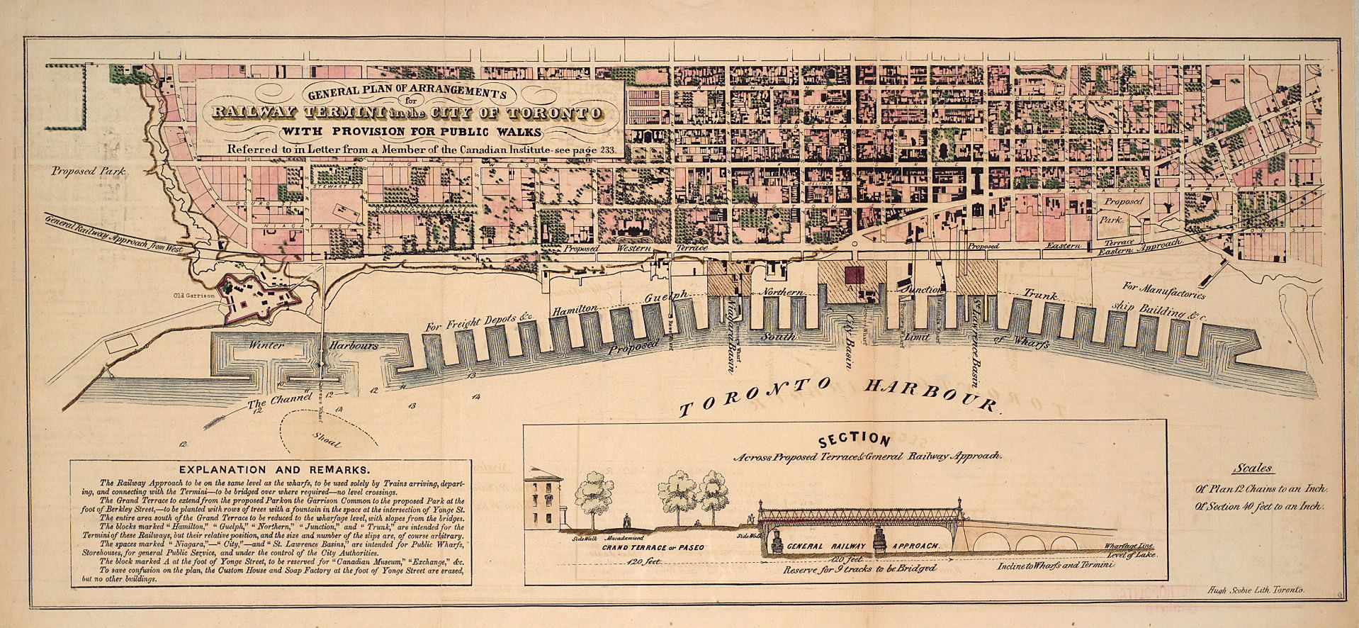
1853: Proposal for "undergrounding" the railroads:
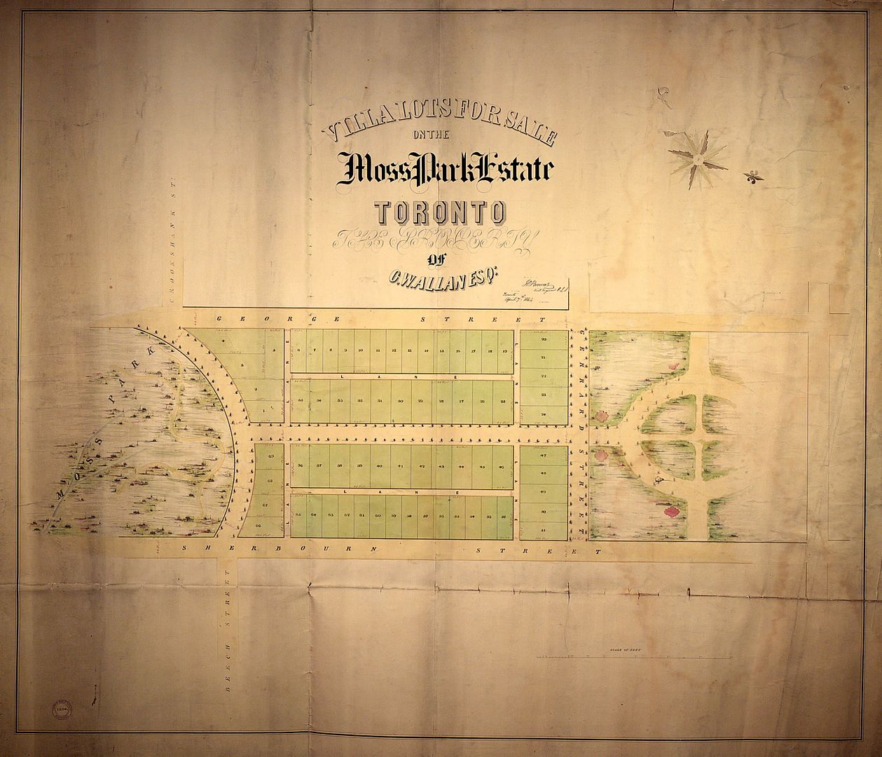
1854: Plan of subdivision for the Allan estate:
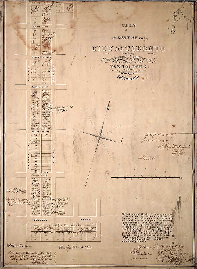
1855: Plan of subdivision for part of the Denison estate:
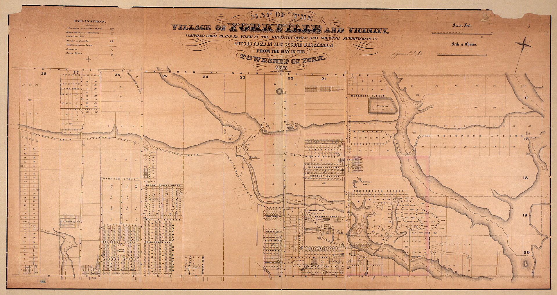
1877: Plan of Yorkville:
1880: Plan of the location for the new Provincial Parliament:
Indeed, but take a look at http://oldtorontomaps.blogspot.ca/p/index-of-maps.html and the other sites he has created = links on RHS. Also the "maporama" at http://peoplemaps.esri.com/toronto/Cool!