thecharioteer began this fantastic thread,
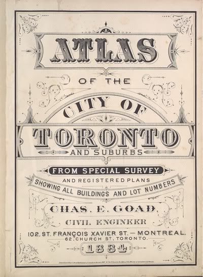
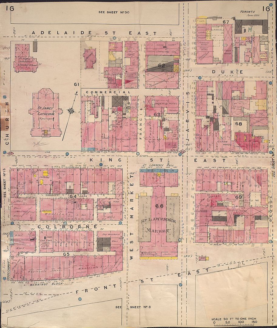
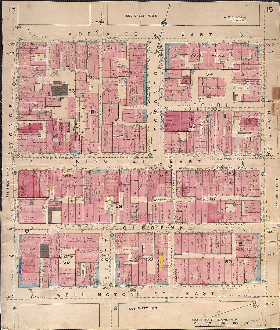
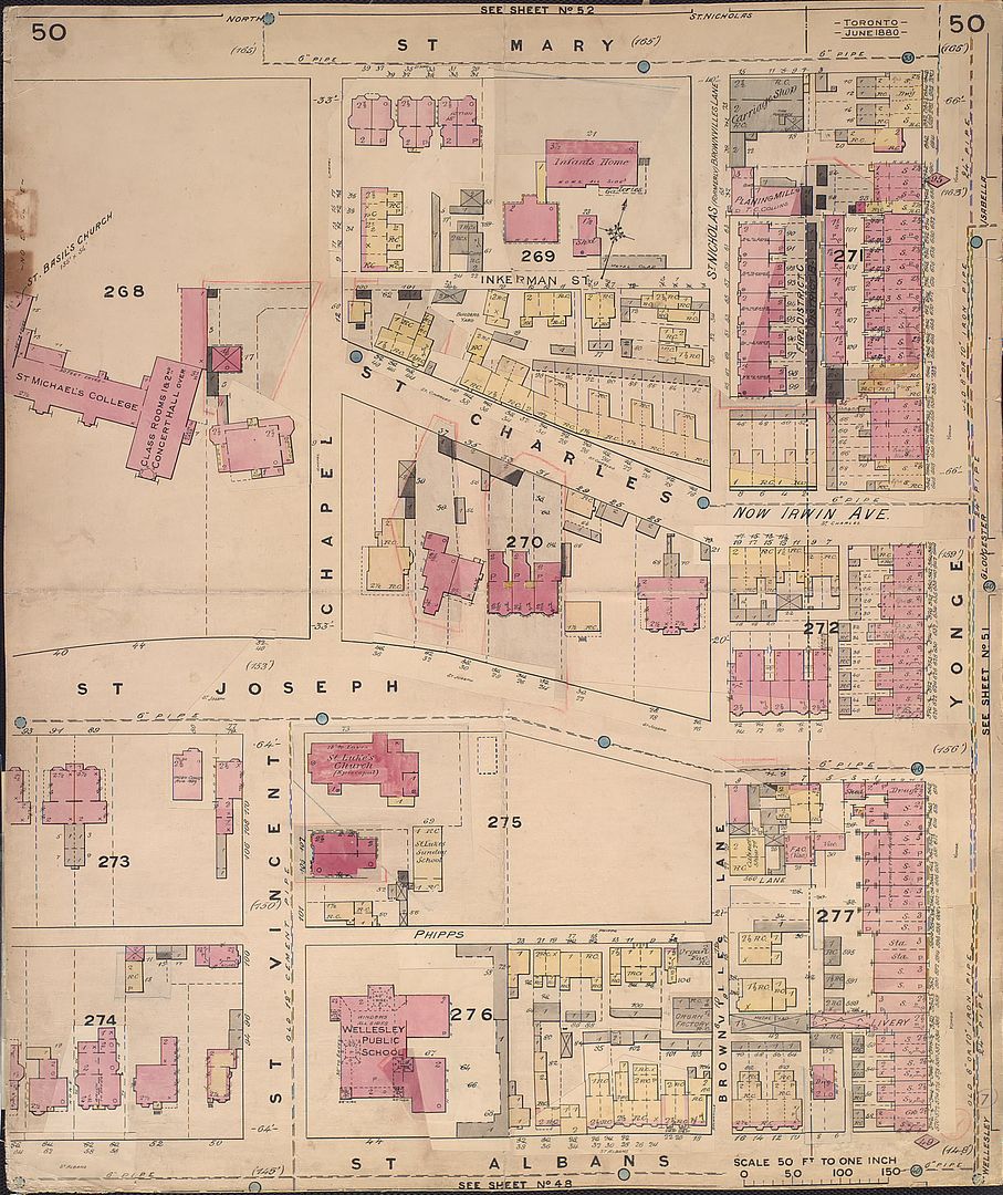
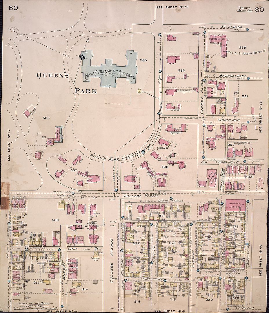
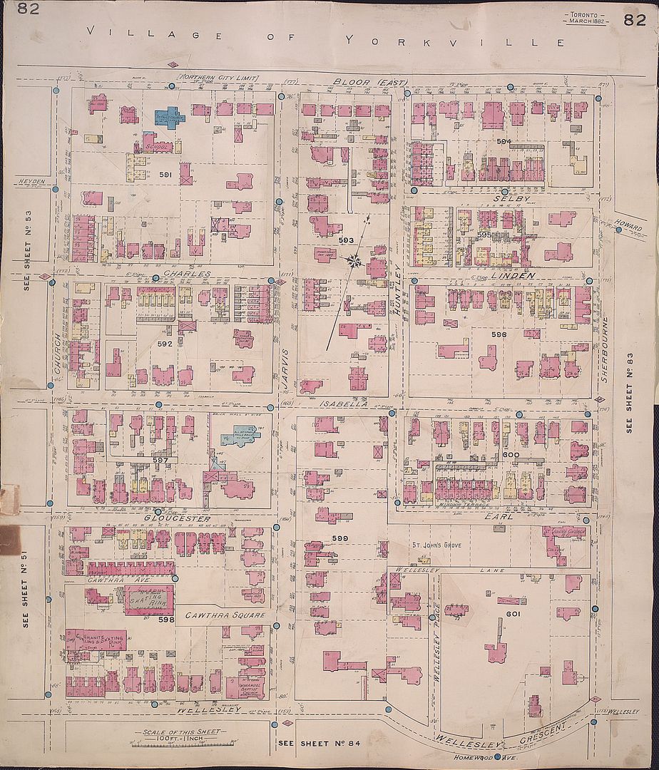
Like most of you, I have spent considerable time looking at, or tracking down specific plates of the Goad Atlas of Toronto. Aren’t they beautiful?
I was excited to see Atlases put up by the TPL, but soon discovered that navigating their catalogue was painful, as the database titles don't include plate numbers, nor can you sub-sort results by plate. Meanwhile, the version put up by the Archives suffers from being trapped in a wretched file-format that is essentially unsupported on Linux and OSX.
I decided to put together a simple website to allow myself to easily locate and view the maps. The result -- isn't anything you haven't seen before, but it has sufficient advantages (and disadvantages!) that make it a rudimentary, but useful and
complementary mode of accessing Goad’s Atlas (1884, 1890, 1893, 1899). You should be able to use any major browser, any platform, no extra software required.
Rather than keep the tool to myself, I’d like to share the work with you, and other Toronto heritage enthusiasts at large. I hope some of you will find it of use. (I know the maps aren’t 'rare' in the sense of not being familiar, and so technically this doesn't belong in this thread, but -- I trust you will indulge me.)
Here’s the introductory post to the site --
enjoy exploring Victorian Toronto!
Note: best viewed using a large monitor (a double monitor setup is even better)
