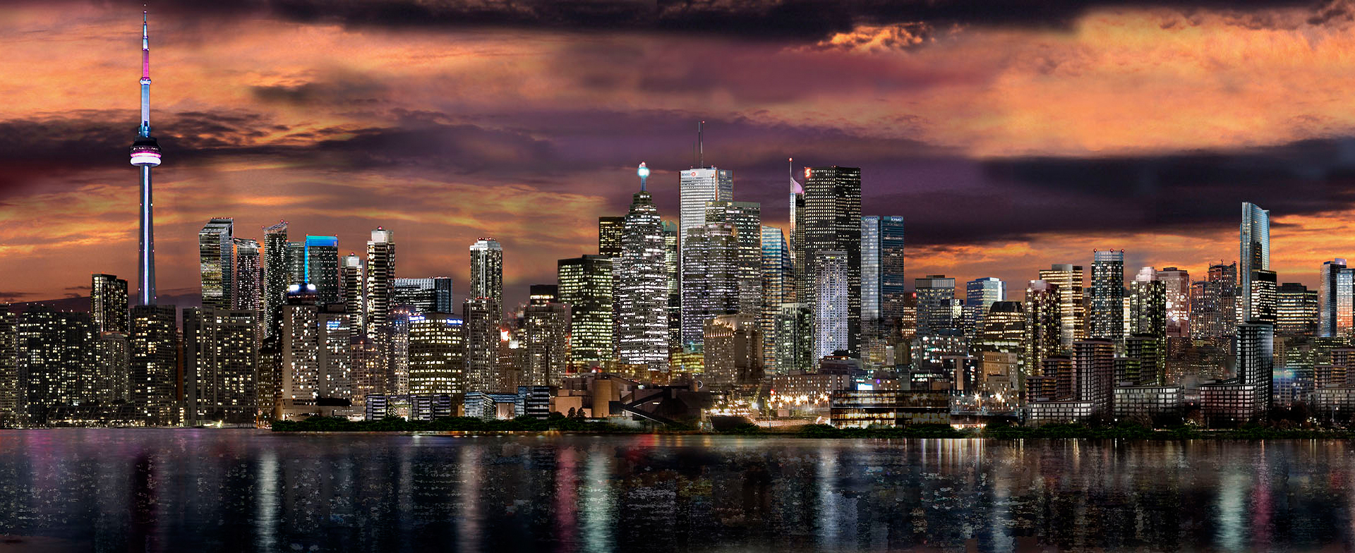
Jaye is talking about the eastward extension of Harbour past Yonge.

I'm looking forward to it. I'm not worried that Eastbound traffic will be separated from westbound Lake Shore for longer. I don't see what the big deal is. It may confuse some people at first, but people adapt.

Jaye, the new Harbour extension will merge back into old eastbound Lake Shore somewhere around where Loblaw's parking deck is now.

Lansdude, in regard to the new Gardiner offramp, I don't think they can get going on that soon enough. No idea when it's budgeted yet, but they should be starting to build the new Simcoe ramp as soon as they've got the engineering done as far as I'm concerned. That circular ramp needs to come down to create a usable central park for when WPP III and 10 York are completed. We have a new serious district emerging here, but it won't feel like one until it has that ramp and park reworked.
42

At last night's Waterfront Toronto public meeting on the South Yonge precinct plan, several of the questions related to plans for the Gardiner ramps, both the off ramp at Simcoe, and the on ramp to eastbound Gardiner ramp at Bay. From what I recall, some of the Section 37 funds being generated in the area are to be used to help fund the off ramp reconstruction - specific timeframe for construction was not identified. Regarding the on ramp at Bay street - the big impact is on pedestrians on the east side of Bay. According to the person who responded, there have been for a while plans for the on ramp to be restricted to use by buses only. The planning for the area is to address the overall pedestrian issues, including those of getting between south of Lakeshore Boulevard and the rest of downtown north of the railway tracks.
 
I found this wallpaper online (a future rendering of the skyline) a few weeks ago before renders of this development were released. I'm wondering how much of an impact this will have on the skyline from this POV. This should fill in the gap quite well.

toronto_future_skyline_high_resolution_desktop_1920x784_hd-wallpaper-702291.jpg
 

In slide #73 'Increasing connectivity' there are connections indicated across the rail corridor between roughly Church n Cooper. Is there any firm plan for this?

I think more N/S connections across the Gradiner/Railcorridor are justified. Based on typical urban block spacing I'd expect at least two N/S streets between Yonge and Jarvis instead of zero.

That'd really tie the Lower Yonge area into the city more. Despite living directly adjacent to the rail corridor I hardly ever venture south since the only two access points are Yonge n Jarvis.
 
Thanks for the link Sixpoints. Since that is my copyrighted image and it's being used without permission... I'll be in touch with that wallpaper site.

I had a feeling it was your work. Looks quite similar to some of your other renderings. That is why I wanted to put this out there. If it was your work, I was pretty sure you didn't authorize it to be used as by this site.
 
I think more N/S connections across the Gardiner/Railcorridor are justified. Based on typical urban block spacing I'd expect at least two N/S streets between Yonge and Jarvis instead of zero...That'd really tie the Lower Yonge area into the city more...

Totally agree. Not sure if that's feasible, but it's certainly desirable. The PATH connection seems exciting, too! In this city, we need to plan everything as if it's a minus 20 degree day haha. Walking 10 mins outside from the lake to union station is brutal in winter.
 
Thanks for the link Sixpoints. Since that is my copyrighted image and it's being used without permission... I'll be in touch with that wallpaper site.

Pretty blatant steal.
 
has anyone noticed if you continue harbour street straight - it does meet back at lakeshore about halfway between parliament and sherbourne? I wonder if this is the ultimate plan. Its also interesting to note its almost perfectly aligned with the road that divides the loblaws and its parking structure.
 
Last edited:

Back
Top