I remember reading recently that the spit has 3 embayments with a 50 year capacity, and that truckloads of fill are still dumped out there frequently..I will try to find the source
 
Toronto Port Authority

Construction began on the Leslie Street Spit landfill site – adjacent Outer Harbour – in the late 1950s and is an ongoing project for the TPA.

The Leslie Street Spit is open to fill Monday to Friday 7:30 a.m. to 4:15 p.m. The general public is welcome to use the Spit for recreational purposes from 4:30 p.m. on weekdays and from 7:30 a.m. on weekends.
 
I seem to be mistaken. Apparently they have 50 years capacity for material dredged from the Keating Channel

The dredgeate material is barged out to the Leslie Street Spit where it is dumped in a containment area specially built for this purpose. In 2005, the annual amount of silt dredged was about 35,000 cubic metres. The containment area has the capacity to take 50 years of Don River dredgeate

Still looking into whether or not they still use excavated material from construction sites
 
Still looking into whether or not they still use excavated material from construction sites
Well, there are loads of old bricks and concrete going into the Spit every day and they are now working in the section of the Spit closer to the Lighthouse. Not sure if they take excavated material(rock etc) there except when they "finish" a section and cover it with clean fill and eventually a bit of earth.
 
No, the spit no longer accepts materials from building excavations. We are working on a story about this!

42
 
No, the spit no longer accepts materials from building excavations. We are working on a story about this!

42

That sounds really interesting. The downside is that now I am going to be impatiently hitting refresh on the UT homepage every 4 seconds awaiting said story
 
It won't appear Monday - and it may be a week or so - be patient!

42
 
September 9th:

rGz8F.jpg


ArrF5.jpg
 
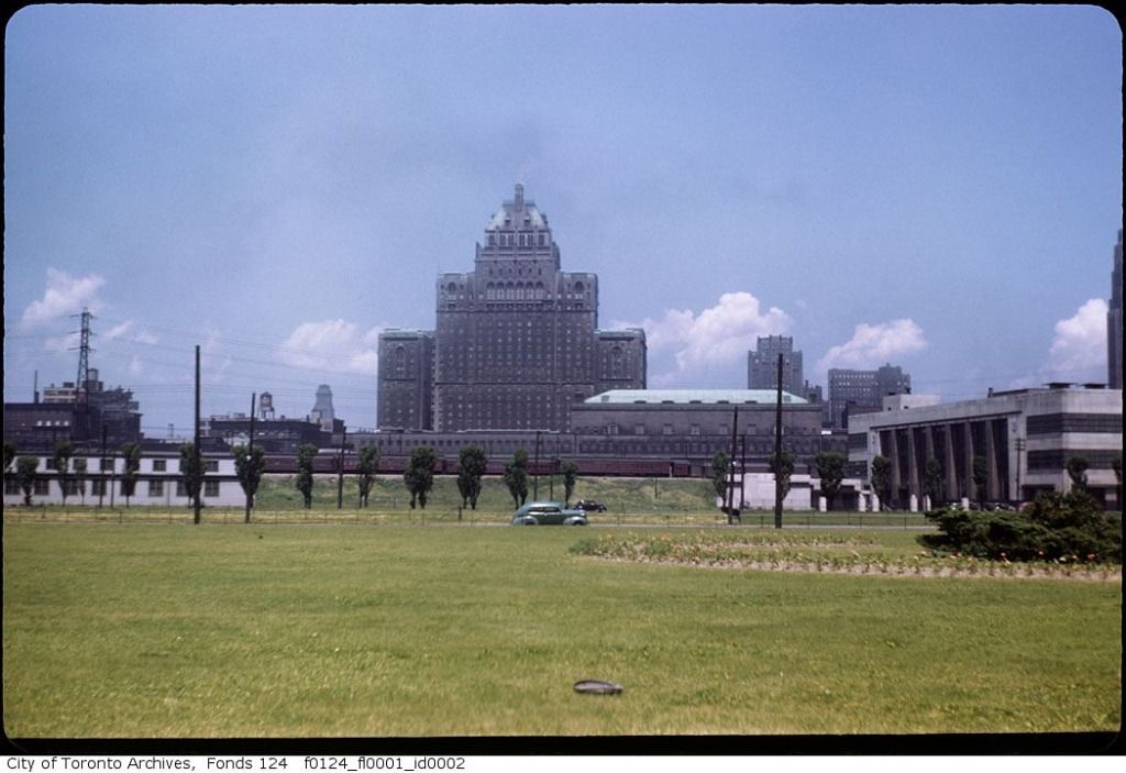
The view from the site a few years ago...

waterfrontsss.jpg


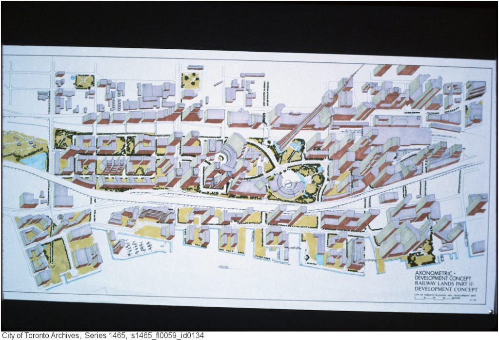
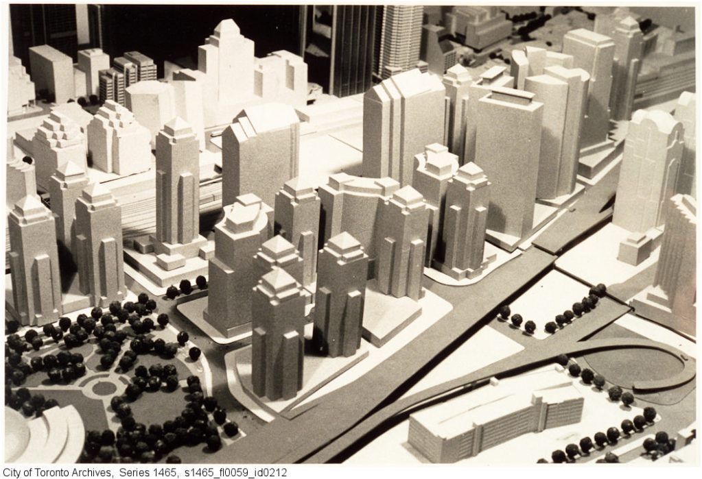
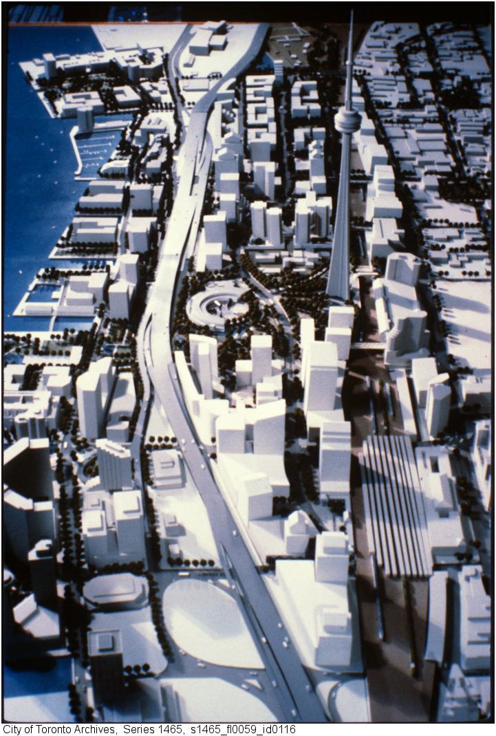
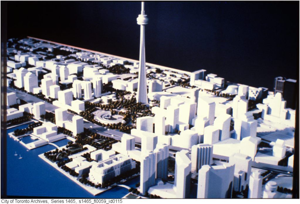
Plans for the site (pre- Skydome - Rogers Centre) that show a serrated, diagonally set building on this site. Despite differences, they all show the building site surrounded by a somewhat lower Southcore area (and much lower Cityplace) as well. Oy, the PoMo jungle! No Union Plaza to speak of, either - or Air Canada, for that matter. On the other hand, Bremner went right to Bay Street.
Notable, too, are the glimpses of a built-up Front Street west on it's south side, and three new bridges across the rail lines into what would become Cityplace.


railx4.jpg


railx5.jpg


railx3.jpg


railx2.jpg
 
Last edited:
^^ great find CanadianNational.

Although the buildings themselves are different, that plan and what we have no are not that dissimilar. Obviously no Skydome/Rogers Centre or ACC. But the scale of buildup around Bremner/Fort York through Southcore to City Place is close. There also seems to be no real treatment of the waterfront.

Thanks for sharing this.
 

Back
Top