News   GLOBAL  |  Apr 02, 2020
 8.9K     0 
News   GLOBAL  |  Apr 01, 2020
 40K     0 
News   GLOBAL  |  Apr 01, 2020
 5.1K     0 

OMG! I can't believe i'm not the only one who's thought of that idea before!!!!... I think Toronto would be sick if something like that happened!!! surrounded by water!!!!! great!

I too think it will be really good to be surrounded by water!!
It would work great for maximizing the temperature moderation effect. A city like Toronto located so far from the oceans needs that.
I'm actually checking climate data of cities in the world almost everyday, and I found daily temperature and the change of it in Toronto Islands are always more gentle and milder(less harsh and less dramatic by 3~5C) than the Toronto mainland. Yes, they are right beside each other, but the climate becomes so much better when surrounded by water.

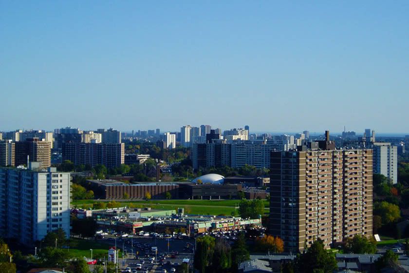
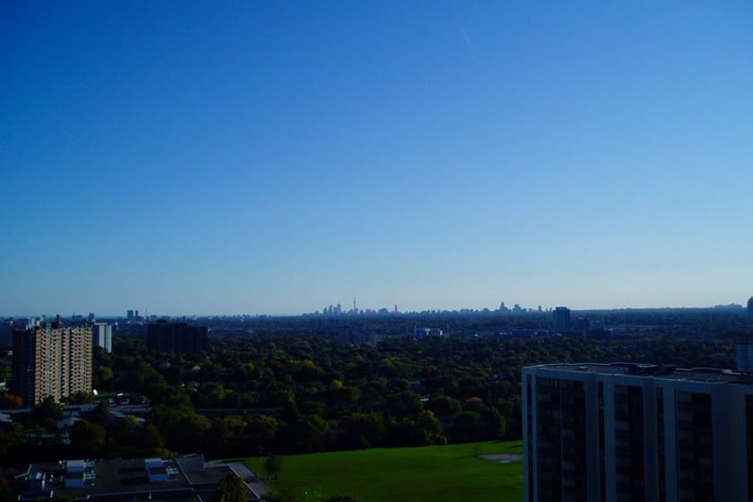
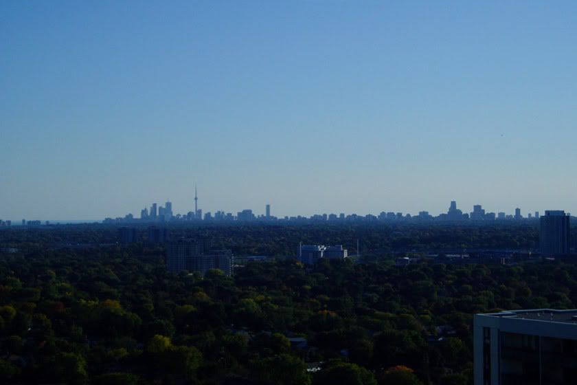
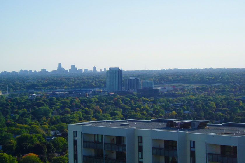
By the way, I always thought Toronto's geography is pretty simple and boring. I prepare a flat sheet of paper, draw a line in the middle, and colour half of it green and the other half blue, boom! That's basically what Toronto is in my mind. lol
This idea will bring us more potential space to build great waterfronts as well as enriching the overall geography. If we can get the water source from somewhere like Lake Simcoe, the dream of making Toronto a rich city of water can become true!! :)
 
Last edited:
`
skylinetoy.jpg
 
I believe it's called tilt shift, and yes, it makes parts of the photo appear like miniature models. If you want to see some cool tilt shift, search youtube......some awesome videos there.
 

Android: This is a neat picture and I will also mention that the rail equipment in the picture indeed look like model trains...

I believe that there are HO models available of the GO bilevel car and those CN and IC locomotives (the second locomotive
is an Illinois Central unit) that are noted here...The IC is a part of the CN Rail system...LI MIKE
 
For whatever reason I still can't begin new threads so I'll add my photos here.

Here's some photos of Toronto taken from what I'm sure is a rarely seen vantage point, looking south from Willowdale at Don Mills and Finch, 20 floors up.

Looking south on Don Mills towards Sheppard, you can see the mark made by Toronto's last major boom:

ub1.jpg


Downtown's skyline:

ub2.jpg

ub4.jpg


A look at Concords Park Place development at Leslie and Sheppard:

ub3.jpg


And finally a look at the the Skyline Developing around North York Center between the 401 and Finch:

ub5.jpg
 
I really hope the area around Don mills / Sheppard gets to see more developments move in. So far we've seen the subway extension, Fairview mall reno, and now Emerald City popping up. The Area between Don Mills and Vic Park (east side of the DVP/404) is turning into a little business district. Most of the 60's era apartments here either deserved to be knocked down or the extensive lands surrounding their buildings be put up for sale.
 
For whatever reason I still can't begin new threads so I'll add my photos here.


Downtown's skyline:

ub2.jpg

ub4.jpg

i just love how the Midtown skyline looks like it's apart of the downtown skyline!!! Toronto just pulled a Manhattan!
 
"Tribeca"

6070950082_6b01cce019_b.jpg


This boat, "Tribeca", belongs to Neil, a GTA firefighter who went down to NYC to help out on 9/11, and went down again for the 10th anniversary last month. He named his boat "Tribeca", after the neighbourhood the firehouse he stayed with is located in. He took a framed print of this photo down with him as a gift for them to hang on their wall.

His boat is moored on Toronto's waterfront. He lives on it all year round!
 
wow that is cool ^^^ i passed through Tribeca this past weekend, and passed through a fire house.. not sure if it was the same one though...
 

Back
Top