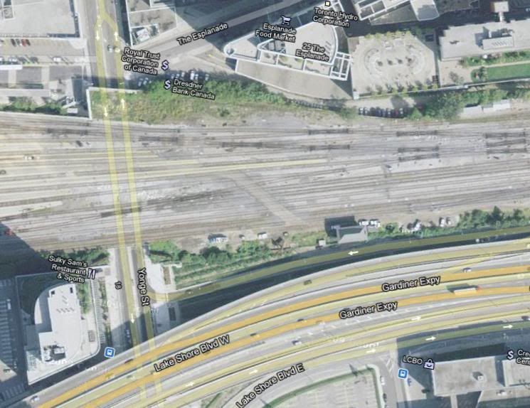
Hey Mongo, you wouldn't have the same kind of map for the whole of Downtown from Yorkville to the lake and from the Don River to Bathurst?

I wish. Maybe if I have a few days with nothing to do...

By the way, I have updated the map with floor counts and additional buildings completed within the past five years.
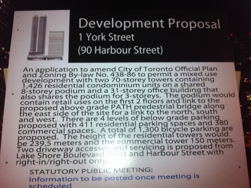
 
This would not make a good spot for a "park". Perhaps a public "square" stipulation as part of a private development would be more appropriate at that location. The north side of Queen's Quay between York & Yonge is in desperate need of some consistent street life.
 
Personally I would like to see some sort of "Market Square" like St. Lawrence Market, with a whole lot of small shops inside. Something like that would be sure to bring a large amount of street vitality to the area.
 
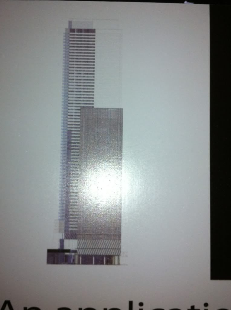
D'oh! I just noticed that the "south elevation" of 90 Harbour I had used for my map is actually the north elevation, so the office tower would be on the EAST side of the development, not the west side. And I will be busy for the rest of the afternoon / early evening, so it will be a while before I can correct it.

So just imagine for now that the 120 Harbour office block is next to and just north of the Harbour Commission building.
 
No, you got it right. My South Elevation shows the office building on the right hand side....

I took this picture facing south


south elevation photo
photo-2085.jpg


Picture taken standing in front of the ACC - under gardiner looking south.
 
South/North/East/West elevations show the view from that perspective, not looking towards it. Mongo's map is therefore a little off (as he has noted).

I love that map Mongo, makes everything very clear. Great work.
 
Last edited:
Here is the best I could do standing on the pebbles at the base of the sign

photo-781.jpg


Flash killing it. A bit.

EDIT:
Notice the funny alignment of the two towers? Looks like the two main towers meet at an L shape. One with a north-south alining and the second has an east-west.

Ok explain this shot facing east.
 
When I think about it, the map is most likely correct as is. I do not know if there would be room for the two residential towers (which take up much more north-south distance than the office tower does) to fit into the western portion of the existing lot, which is significantly narrower north-south than the eastern portion. On the other hand, the office tower could easily fit into the western portion of the lot.

So unless I hear differently, I am going to assume that the existing map is basically correct.
 
Last edited:
I'm only going by the shots we have and the labels Caltrane has given them. It makes more sense that the two residential towers are on the east portion of the site, in which case all we have a simple labeling error.
 
I myself am waiting for the site plan, which will appear at the latest in the eventual planning department report on this development. This should settle the arrangement question once and for all. It will also settle the question of the shapes of the residential towers -- squares, rounded corners, or outright circles or semicircles.

How long does it usually take for this report to appear?
 
On that map, it makes you wonder if there is enough room to build a tall structure overtop a buried Gardiner/Yonge offramp on that lot east of Yonge and south of the rail corridor.

Possibly so, on Google Maps it looks to be about the same size as the plot of land that Backstage is being built upon:

ScreenShot143.jpg
 
We have fished out a lot of the details from the application above and put them in a front page story and a new dataBase listing. Start with the story here!
 

Back
Top