ponyboy
Active Member
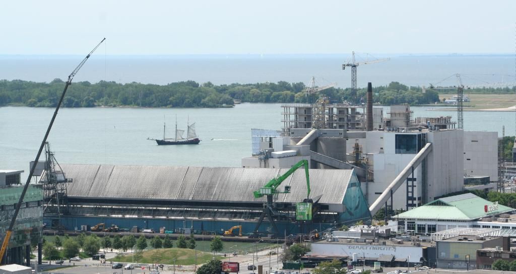
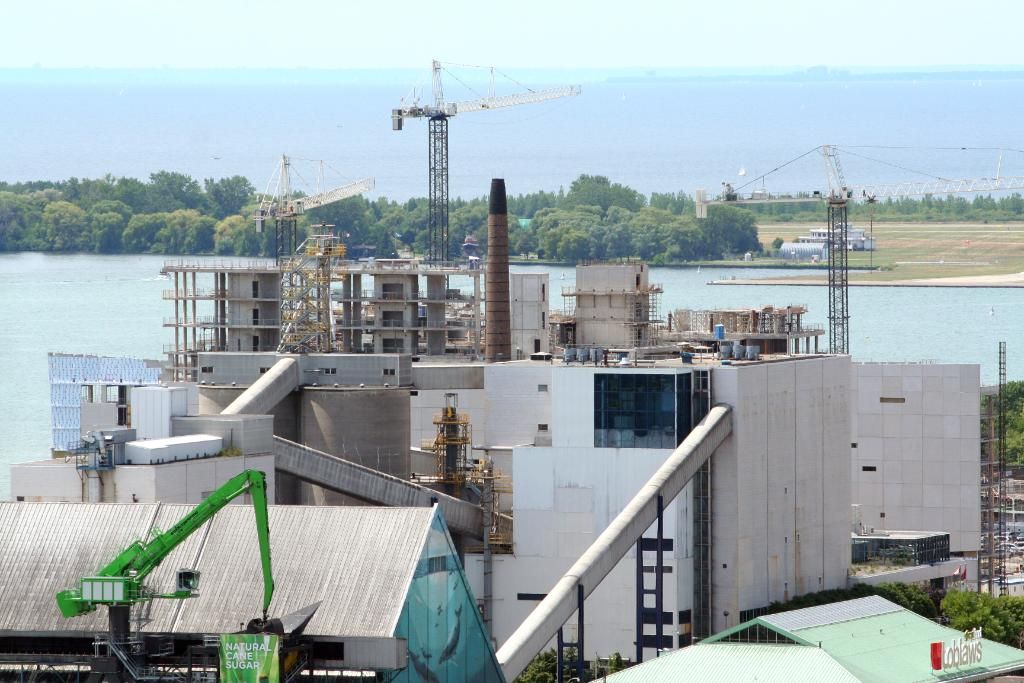
AoD - thanks for posting the updated map with Phase 2. I agree that the middle pathway between the buildings needs to be an identifiable and appealing pathway for pedestrians, but it isn't clear if that will be the case. Only access roads to/from the buildings are apparent. The differences between the newer and older map -- now there are two lanes while before there was one; now it is labeled private road (before it was Freeland street). Are there any clear renders of this area? What will the sidewalks look like through this area to the water? Even if there is public access, if it is poorly designed it will effectively prevent people from using this corridor (which may be what the want anyway).


