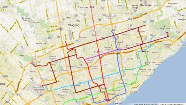
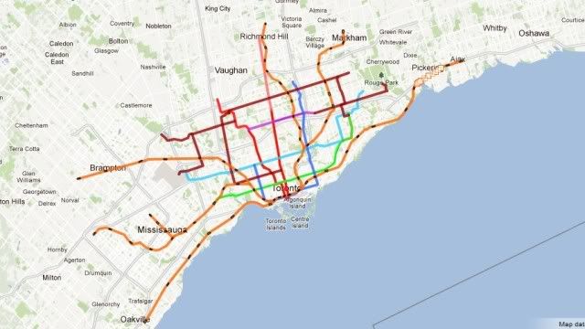
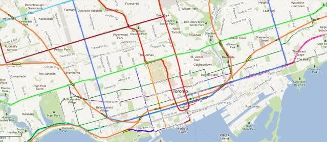
I just thought I'd throw in my plan. It's a mix of Subways and LRT'S.
A quick overview.
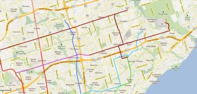
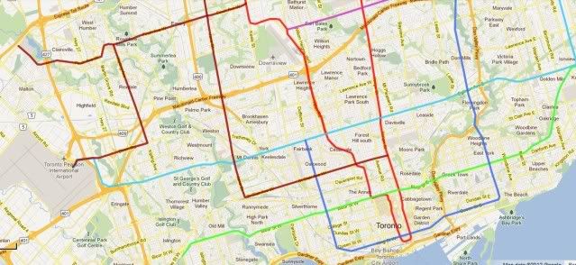
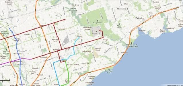
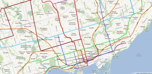
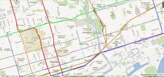
Bloor/Danforth line (green) would be extended eastwards to Scarborough via Eglington, Danforth and Mccowan.
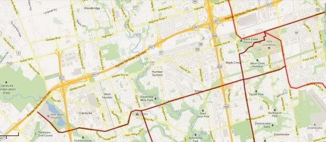
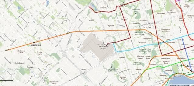
The Eglington line (light blue) would remain an LRT, with a central subway. It would stretch from the Airport to Scarborough and then to Malvern Town Centre via Progress and Mclevin (with some Hydro).
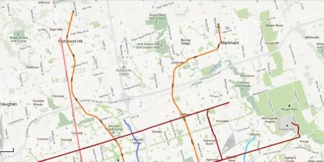
Younge (red and rose) would extend to Richmond Hill.
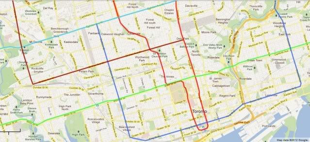
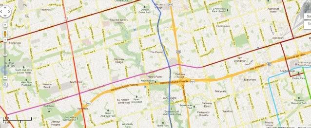
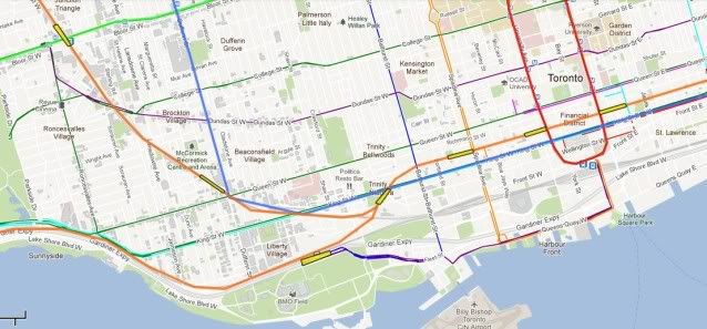
A new downtown line (mid blue) would follow Don Mills from John St to the Parkway and then on to Coxwell, until Queen and then King st once that begins. It then continues West till Dufferin where it Heads North till Eglington again. This line would be nearly all in tunnel south of Eglington, but surface LRT North of there.
The Northern and western suburbs would be crisscrossed by surface LRT. St Clair would extend west till Jane and then North on Jane. Then through the University and East on Steeles until it hits the Markham Road.
The shepherd would be extended West to Downsview and East to Victoria, after that it would LRT on shepherd till Toronto zoo. There would be a North South link on Mccowan to Scarborough.
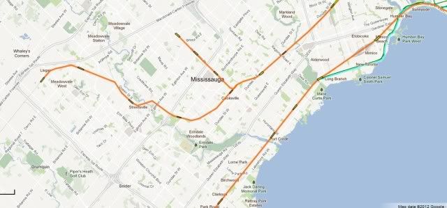
In the West there would be an LRT on Finch till Wild Water and a link to the airport via Kipling and Dixon.
I imagine we would be looking at 30 billion over a 20 year period. But thats a blink of an eye in transport terms. Will Toronto have added another million by then? What is the price of fuel. Will car ownership fall by 30% because the working classes can no longer afford to run a car. You could have little traffic and crush load on every bus, with every council man demanding a subway or LRT. If peak oil is real no one will care if you rip up a traffic lane to fit in a tram, there will be plenty of space.