News   GLOBAL  |  Apr 02, 2020
 9.7K     0 
News   GLOBAL  |  Apr 01, 2020
 41K     0 
News   GLOBAL  |  Apr 01, 2020
 5.5K     0 

Looking good. I miss Waterloo. This project is going to be such a boon for the region combined with connections to All-day GO service at Victoria St.
 
all day GO service still hasn't been formally announced. I'm sure its coming once the government decides what its going to do with its "outside of GTA" fund, but as of right now, its not there.
 
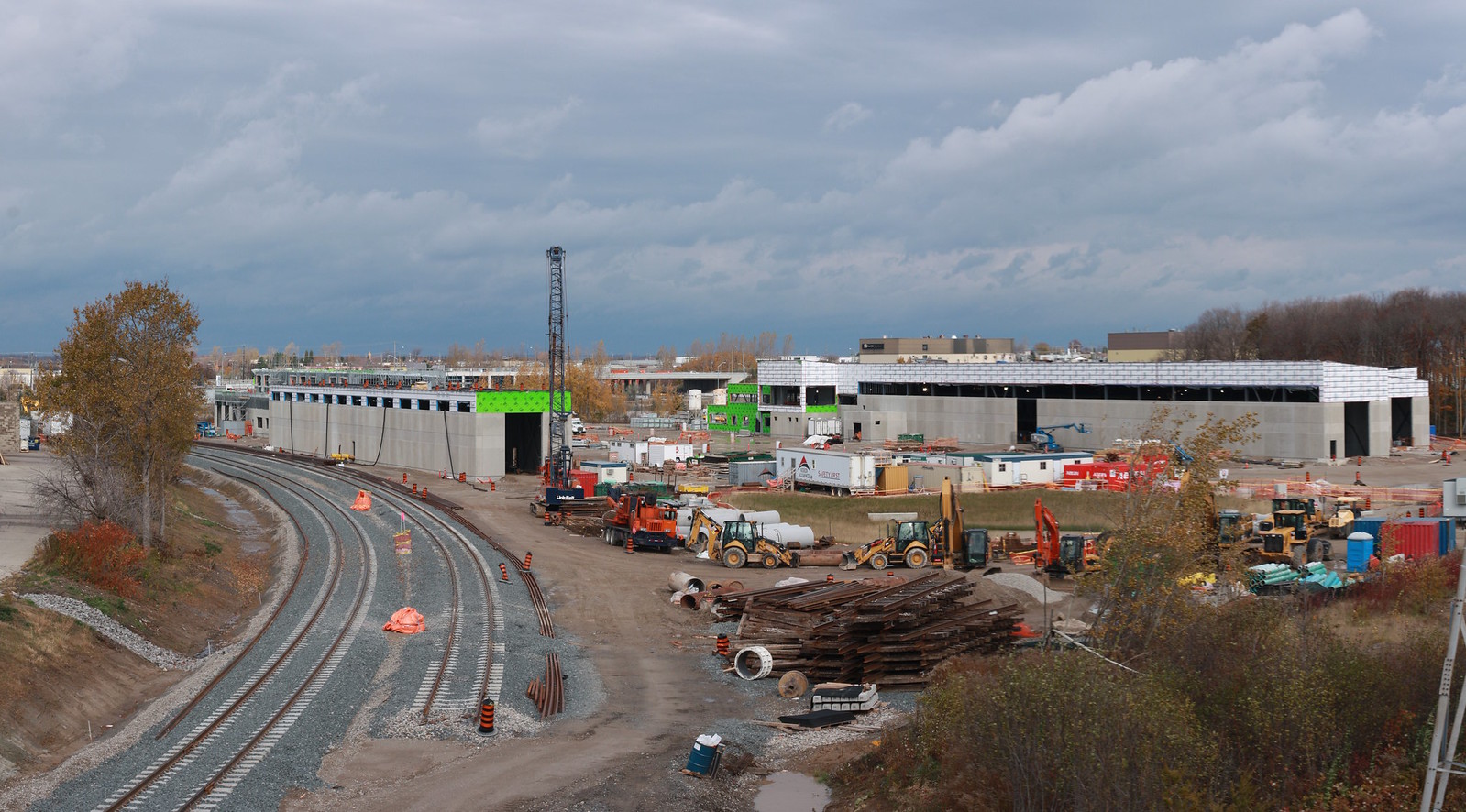
Nov 1.

Couldn't get a good view of the roof, but can see that weatherproofing has continued to be installed on the top walls. Seems like a good sign the damage was superficial and won't require major rework.
Untitled by ION Construction, on Flickr
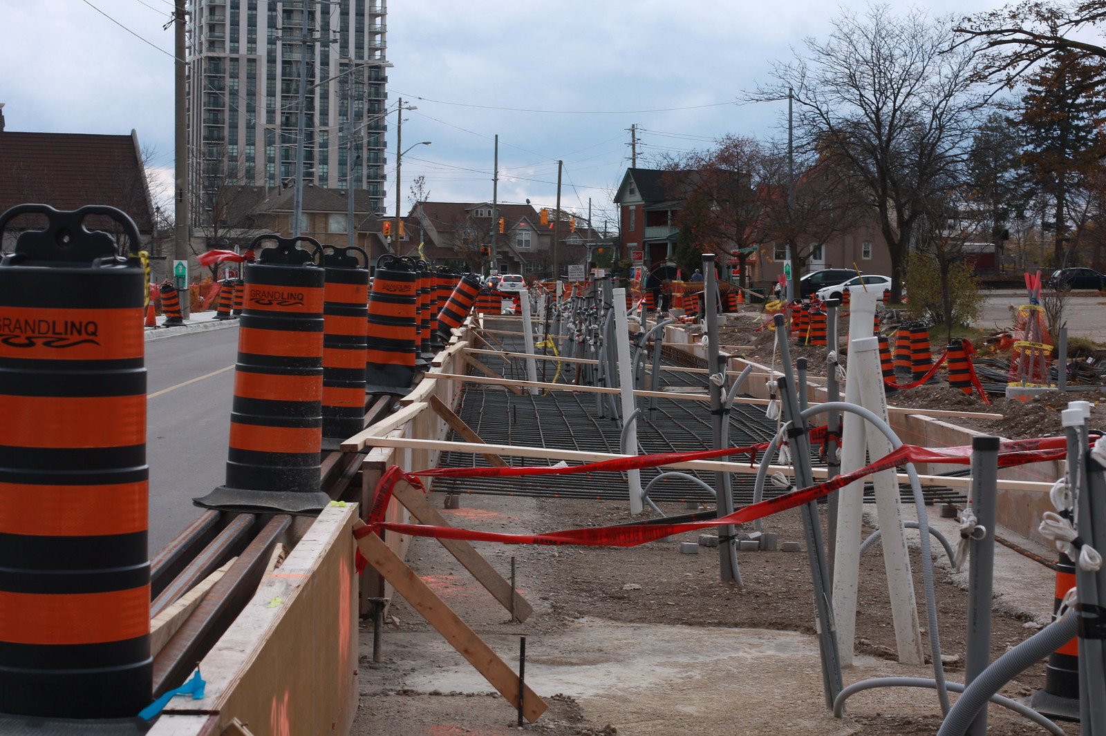
Uptown Waterloo station platform ready to be poured.
Untitled by ION Construction, on Flickr
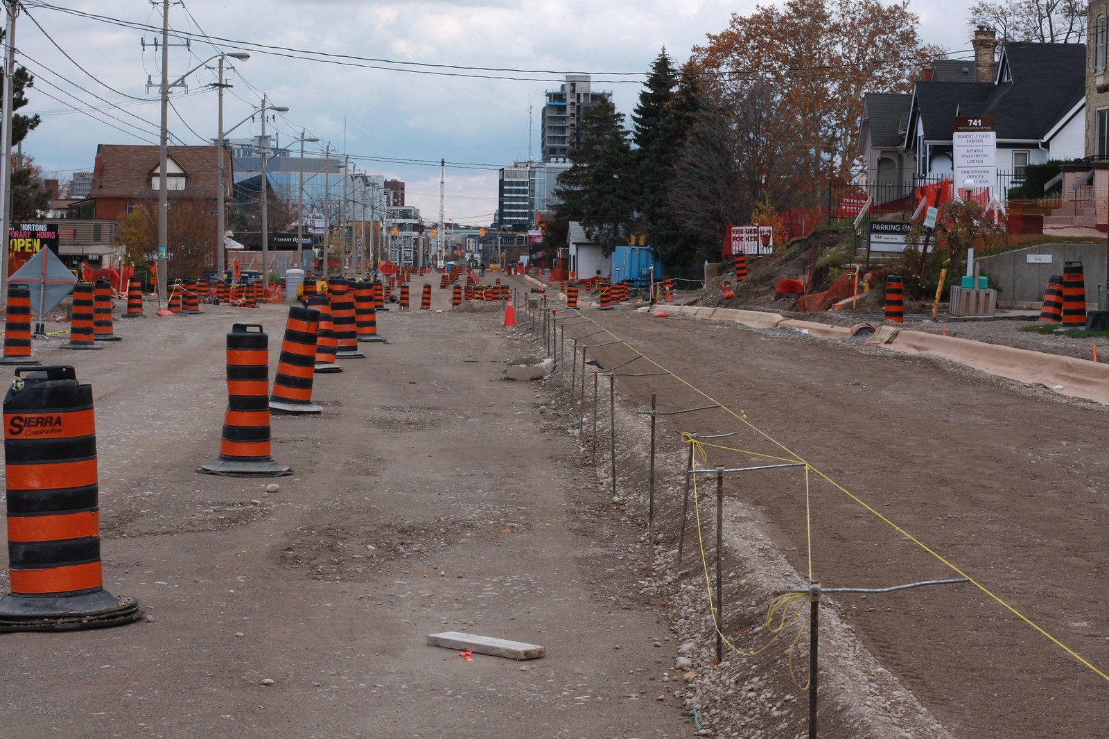
Looking south towards downtown Kitchener on King St. Curbs are curing, looks like southbound lane will be paved very soon.
Untitled by ION Construction, on Flickr
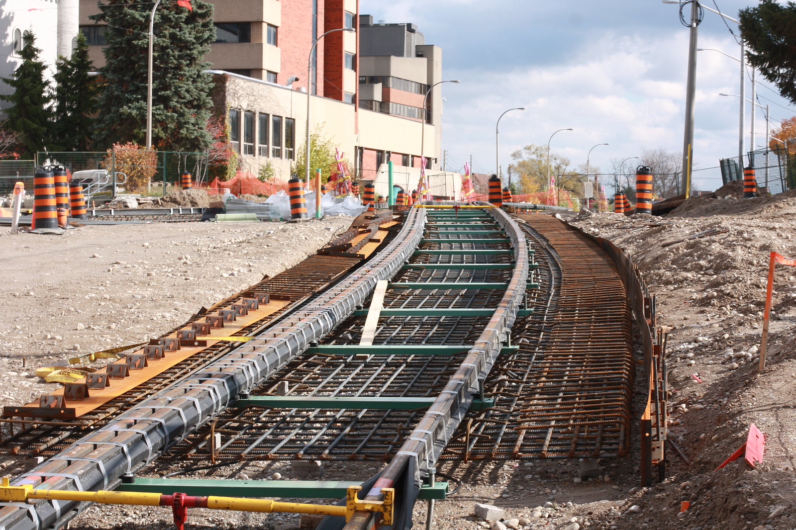
Track in place at Charles and Benton.
Untitled by ION Construction, on Flickr
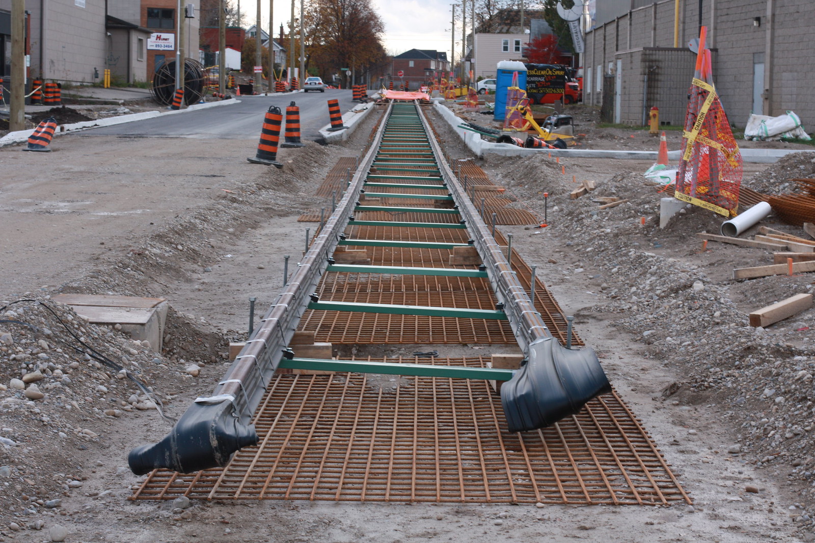
Tracks extended on Borden, now East of Courtland.
Untitled by ION Construction, on Flickr
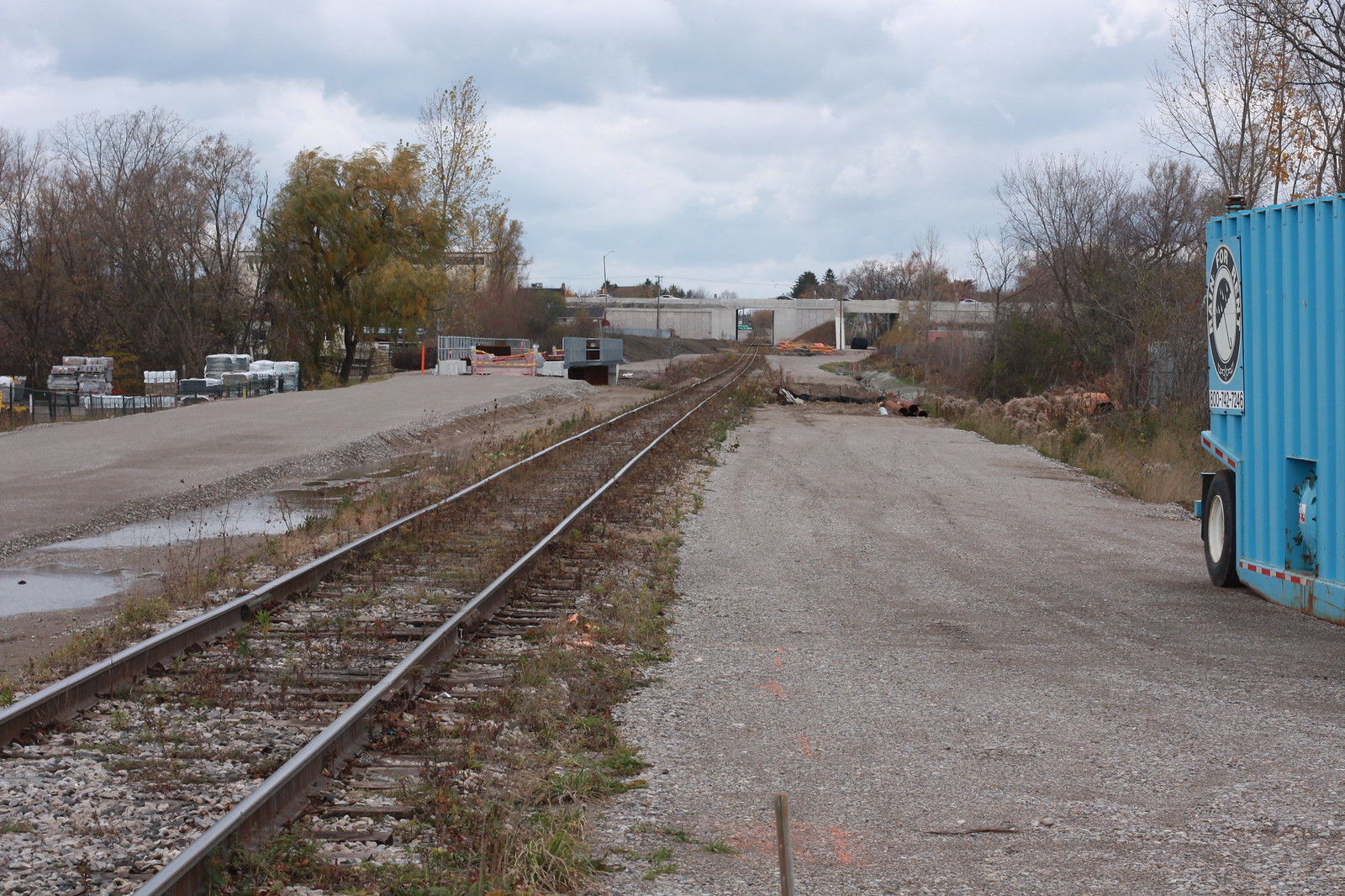
LRT ROW now cleared on both sides of Schneider Creek. Second bridge must be going in next summer.
Untitled by ION Construction, on Flickr
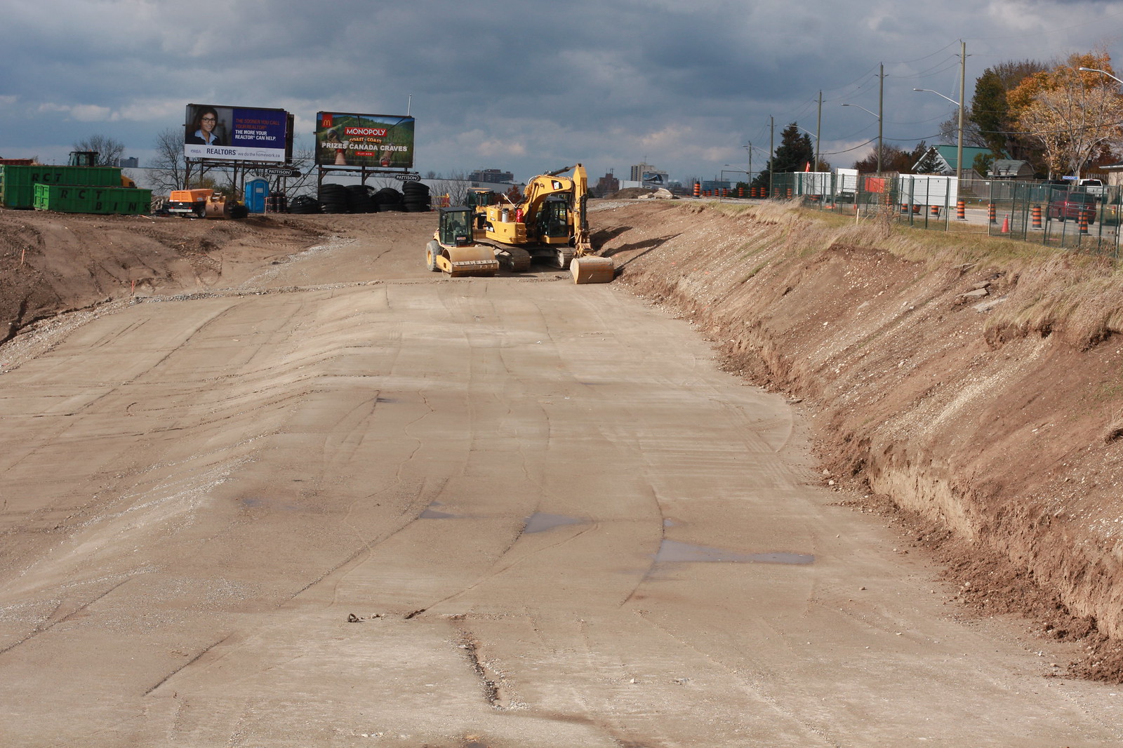
Preparation for station and Middle Block and Courtland.
Untitled by ION Construction, on Flickr


View rest of today's pictures on Flickr.
 
Assuming you mean "new" not "need"...
North of Columbia St, it’s all new track, and freight is indeed using it. South of Columbia, they've laid a lot of new track, but it's not finished yet.
 
Assuming you mean "new" not "need"...
North of Columbia St, it’s all new track, and freight is indeed using it. South of Columbia, they've laid a lot of new track, but it's not finished yet.

Yes! Thanks.

Another question: has anyone done a route map overlayed on a Google Earth view?
 
Yes! Thanks.

Another question: has anyone done a route map overlayed on a Google Earth view?

I have, and I made layers for all the stages of construction, but am having a hard time figuring out how to re-order the layers and so on. Google's map program doesn't make this very easy.
 
Some more photos from the past week or two. Enjoy! Any questions, just let me know.

IMG_5691.jpg
IMG_5698.jpg
IMG_5704.jpg
IMG_5706.jpg
IMG_5709.jpg
IMG_5713.jpg
IMG_5714.jpg
IMG_5719.jpg
IMG_5722.jpg
IMG_5724.jpg
IMG_5731.jpg
IMG_5740.jpg
IMG_5753.jpg
IMG_5755.jpg
IMG_5756.jpg
 

Attachments

  • IMG_5691.jpg
    IMG_5691.jpg
    196.1 KB · Views: 865
  • IMG_5698.jpg
    IMG_5698.jpg
    83.2 KB · Views: 826
  • IMG_5704.jpg
    IMG_5704.jpg
    197.8 KB · Views: 800
  • IMG_5706.jpg
    IMG_5706.jpg
    221.9 KB · Views: 817
  • IMG_5709.jpg
    IMG_5709.jpg
    221 KB · Views: 793
  • IMG_5713.jpg
    IMG_5713.jpg
    244.7 KB · Views: 833
  • IMG_5714.jpg
    IMG_5714.jpg
    292.2 KB · Views: 783
  • IMG_5719.jpg
    IMG_5719.jpg
    200.5 KB · Views: 816
  • IMG_5722.jpg
    IMG_5722.jpg
    270 KB · Views: 812
  • IMG_5724.jpg
    IMG_5724.jpg
    265.9 KB · Views: 819
  • IMG_5731.jpg
    IMG_5731.jpg
    191.2 KB · Views: 808
  • IMG_5740.jpg
    IMG_5740.jpg
    223.1 KB · Views: 787
  • IMG_5753.jpg
    IMG_5753.jpg
    192.8 KB · Views: 823
  • IMG_5755.jpg
    IMG_5755.jpg
    204.6 KB · Views: 812
  • IMG_5756.jpg
    IMG_5756.jpg
    182.7 KB · Views: 1,095
It's really nice seeing the rails in concrete like that, and looks like things are shaping up quite nicely. Nothing beats a railed transit system IMO. For Ontario cities, KW, Ottawa, and TO are in a class of their own.
 
...and here is some video from this afternoon at the future Seagram station in Waterloo Park, of the tamping machine in action:


Thanks for sharing the video and the pictures. This project is really coming together, and when it opens in 2017, it will be a great example of how versatile LRT can be in Ontario.
Here is a question: I get the concept of a gauntlet track, but I am wondering in the case of the Waterloo LRT, why it is required at the off-road stations? Does it have to do with freight trains using the tracks at night, and the platforms somehow getting in the way? Any insights would be appreciated!
 
That's exactly the reason, and actually the only reason for them. The one set of tracks goes straight through, right next to the platform (this is the track the LRV's will use), while an alternate track shifted out a bit less than half a metre will give some extra clearance for the larger freight trains, so they don't wipe out overhead canopies or contact the platform edge. There are 4 stops along the line that will have Gauntlets;

  • Northfield
  • R&T Park
  • University of Waterloo
  • Seagram (Waterloo Park)
Only the Southbound tracks will have the gauntlets, as that is the only track that freight traffic will be using in the off-hours.
 

Back
Top