News   GLOBAL  |  Apr 02, 2020
 8.5K     0 
News   GLOBAL  |  Apr 01, 2020
 39K     0 
News   GLOBAL  |  Apr 01, 2020
 4.8K     0 

Yes feeder routes are wildly successful in TO. So much so that upgrades are needed to continue that success going forward. Otherwise there will be a bit of a plateau or diminished returns when attempting to maintain mode share percentages when our pop. and ridership doubles.

If passenger demand is the make or break then there'd likely be zero LRT in the 905. How many corridor in the 416 are completely neglected by the province yet carry more than sauga or Hamilton's LRT? What is 'warranted' and what isn't?
Give buses lanes, use more artics etc. we are nowhere near saturating most routes with buses.


And link to the draft map which had been posted here earlier:

 
The province released the finalized GGH transportation plan, likely to be a key election document for the PC's.

The PDF is available here:


The document mostly details existing transit projects we all know about, including existing transit commitments.

Two "big moves" of the document related to transit include a new transit corridor along the 407 transitway route from Burlington to Oshawa, and an "Ontario Line" loop running up to Pearson to Highway 7 then back down Don Mills.

A lot of the newer details are more related to roads, including possibly the biggest shocker - a plan to widen the 401 between the 427 and 401. No details have been specified on how that would be achieved..

Other major road projects are fairly predictable, including the 413, Bradford Bypass, etc., but a few newer items are there that I haven't seen before, like widening the 403 from Hamilton to Brantford, widening the Burlington Skyway, and a return of the Brantford-Cambridge new highway corridor.
 
The 407 Transitway has been on the books for decades, with protections made for it in the right-of-way and at Highway 407 station, so I don't see it as anything new, except perhaps for the section south to Pearson and Renforth Station.

EDIT: Merged the two GGH Transportation Plans
 
The 407 Transitway has been on the books for decades, with protections made for it in the right-of-way and at Highway 407 station, so I don't see it as anything new, except perhaps for the section south to Pearson and Renforth Station.
Thing is it seems like this is now going to be a rail line, not a transitway. Now considering this is 2051, they "might" be considering this as a transitway to rail conversion, but its hard to say.
 

FNgDBaPWYAMmYRw
 
I read the entire plan cover to cover and found it to be annoyingly aimless aspiration, rather than anything like a substantive plan.

A waste of money to conceive it, and a waste of Hard Drive memory to store it.

****

To be clear, the idea of a long term plan is great.

But it needs to be specific, these projects, in this order, for this reason, with local planning coordinated so that infrastructure arrives in time for, if not in advance of, new development and density.

This, is not that.
 
The 407 Transitway has been on the books for decades, with protections made for it in the right-of-way and at Highway 407 station, so I don't see it as anything new, except perhaps for the section south to Pearson and Renforth Station.

EDIT: Merged the two GGH Transportation Plans
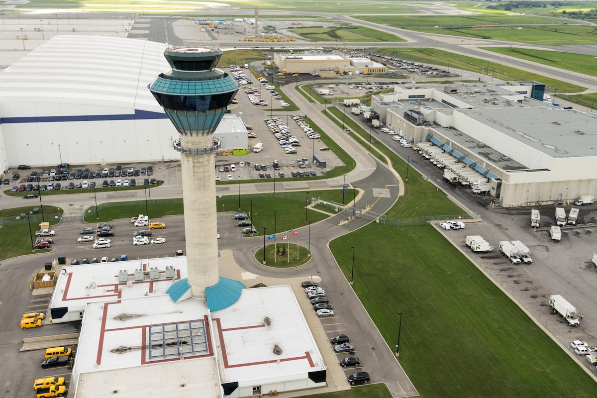
It appears MTO is now thinking about it more as a rail line instead of a BRT corridor, which is what they have completed the EA's for. That's a substantial change.

I agree the document is vague, more of a collection of existing piecemeal plans, with a few big ideas trickled on top (401 widening, Ontario Line loop, 407 rail transit corridor).

The road expansion list is substantial as well, but even it misses several MTO projects they are actively considering and other low hanging items which will be needed by 2051. They show a widening of the QEW through St Catharines for example despite it being widened only a decade or so ago, but don't show the 6-lane stretch getting extended to Niagara Falls, which is very low hanging fruit and will more than likely happen when the Thorold Stone Road bridge is replaced. Same thing with Highway 6 - they show the Morristown bypass but not the highway 5 interchange, a project that has been searching for funding and has a completed EA. the QEW widening through Mississauga for HOVs is also missing, despite multiple projects underway which accomodate it, and they only show Highway 7 being widened to 4 lanes from Donald Cousens to York/Durham Line, instead of fully closing the gap to Brock Road, for some reason.

These documents are supposed to be high level, but the transit front is particularly lacking. It's basically a collection of existing, known projects, with almost nothing added. The document mentions the Bolton GO corridor but doesn't put it on the map for some reason, mentions the London GO extension but doesn't show it on the map, doesn't discuss other potential connections like Brantford, Uxbridge, etc., doesn't introduce any new major LRT routes or any infrastructure above existing plans in Toronto other than the OL Loop, etc.
 
Last edited:
I read the entire plan cover to cover and found it to be annoyingly aimless aspiration, rather than anything like a substantive plan.

A waste of money to conceive it, and a waste of Hard Drive memory to store it.

****

To be clear, the idea of a long term plan is great.

But it needs to be specific, these projects, in this order, for this reason, with local planning coordinated so that infrastructure arrives in time for, if not in advance of, new development and density.

This, is not that.
It’s not unlike the Ford government to do this. Look how they took the Ontario line from nothing to nearly under construction in 4 years. I’d expect they’d use the same strategy to get these new lines built. Avoid consultation and lengthy processes that drag things out, and just move forward.
 
A couple of observations:

1) Sheppard West is excluded; but the intent was always to provide rolling stock for any Sheppard East extension via Wilson Yard directly, which requires Sheppard West; do the report writers not know this or are they imagining a new yard for Sheppard East?

2) VIA HFR is shown using the Stouffville corridor as its connecting point.
 
An interesting observation I also noticed, that yellow blob surrounding the city and various municipalities is actually a "frequent local transit zone", where local transit within that region will be something like every 10 minutes.

unknown.png

Now its hard to say what it actually means in this regard, does it mean just general arterial routes or literally every bus route within that zone (that's ridiculous). Just something to note.
 
Thing is it seems like this is now going to be a rail line, not a transitway. Now considering this is 2051, they "might" be considering this as a transitway to rail conversion, but its hard to say.

Unless I'm missing it, the term "407 Transitway" appears once in the document.
Weird for a project that should be more "real" than a lot of the others.

I know it was always treated as a BRT but there was always a bit of a "or maybe LRT, depending..." vibe to the plans. It's all a bit mysterious and it's weird that this new "plan"doesn't really offer any clarity.
 

Back
Top