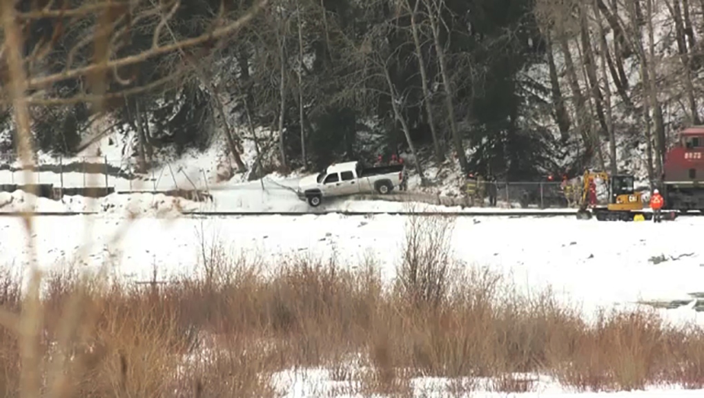
There isn't really any reason for this pathway aside from providing access to and from the Douglas Fir trail. Lots of people park in the Edworthy main lot and commute on the north side of the river utilizing the bridge by Angels. I use this pathway because it's less busy and I'm not breathing exhaust from riding beside Bowness Rd / Memorial. It actually adds 1.5km to my commute, but it's a nicer ride. In the summer I only take that pathway in the morning because it's full of park users in the evening, who all seem to need to walk 5 wide and get mad if a cyclist has the audacity to try and get by lol. Basically it's a beautiful spot, and that's why it's popular, but the pathway on the north side can easily handle the demand. That being said, if they pathway was closed permanently, more people would just walk on the train tracks, so it would make sense for the City and CPR to figure something out.
Adding a ditch wouldn't work because the slope above is constantly shifting, and the ice would pretty much erase the ditch every winter. What's needed is a major retaining wall and some way to channel the water to an engineered location that can handle the runoff / ice. This would be millions of dollars in a location that's really not required to be a pathway. The bridges in Edworthy and Crowchild are about 2km apart, so for commuting, the pathway on the N side is sufficient. The best solution for the pathway would be to move it on the N side of the CPR line, but that would likely be tens of millions of dollars. Long story short, the demand will not justify the cost, so I don't see anything happening any time soon. Replacing the fence to prevent people trespassing onto CPR land is likely the only solution, but as you can see from the pic I posted, the ice will just push the fence over eventually.


