News   GLOBAL  |  Apr 02, 2020
 8.5K     0 
News   GLOBAL  |  Apr 01, 2020
 39K     0 
News   GLOBAL  |  Apr 01, 2020
 4.7K     0 

It's interesting that they have regional commuter rail going south, I wonder how likely it is that Okotoks or High River ever see a train connecting to Calgary. That being said, a part of me would love to see a train connecting Calgary and Lethbridge, especially with a high speed line to Edmonton. Linking Alberta's 4 largest municipalities by rail (Lethbridge - Calgary - Red Deer - Edmonton) would be awesome.
 
It's interesting that they have regional commuter rail going south, I wonder how likely it is that Okotoks or High River ever see a train connecting to Calgary. That being said, a part of me would love to see a train connecting Calgary and Lethbridge, especially with a high speed line to Edmonton. Linking Alberta's 4 largest municipalities by rail (Lethbridge - Calgary - Red Deer - Edmonton) would be awesome.
The only place outside of the city that would miss out on the commuter rail is Strathmore. As far as I can tell, from a quick scan of the map, I don't see any rail going through there. Everywhere else you could, in theory and with agreements with the rail owner, operate a commuter train.
 
The only place outside of the city that would miss out on the commuter rail is Strathmore. As far as I can tell, from a quick scan of the map, I don't see any rail going through there. Everywhere else you could, in theory and with agreements with the rail owner, operate a commuter train.
Old alignment has some key gaps. Red marks Strathmore.
1671660919357.png
 
RouteAhead update went to Council today and included this map of Calgary's future primary transit network. These routes are destined to have 10 minute or better service frequencies at least 15 hours per day. Interesting to note that regional and high-speed rail proposals also show up on the map for the first time ever.


View attachment 446504
It's just such a depressing and unhelpful map. There are dozens of random black lines everywhere, with no actual rhyme or reason. Where do the underlying routes go? Which are through connections? What routes are the priority, what routes are long term vision? Shouldn't all of the MAX routes be included, and if not, why were they made MAX routes (MAX orange at Rundle)? Literally the only thing that can be done for identifying priority is to identify the routes that go on roads that don't exist yet; I'm guessing those are less likely to be the priority.

The obvious goal of the map is to have thick black lines in every ward; they even put the wards on there real big to make sure everybody can tell. The public discussion is on reducing 'coverage' service to focus on 'ridership' service is a positive one, but we need to be clear on what the tradeoff is, and this absolutely isn't. If 'coverage' service is reduced, we aren't going to get 10 minute service on all of these lines, so where would we get better service? (My guess: Transit is embarrassed to admit that even if we reduce 'coverage' service a modest amount, they can't actually even provide frequent service on the MAX routes that have been promoted for a half-decade as frequent.)

Either Calgary Transit has an internal version of this, where the routes are clearly laid out and there are priorities, in which case they should stop confusing the public, or they don't, in which case... what are they doing? Maybe the next transit scavenger hunt can be for a prioritized plan.
 
The obvious goal of the map is to have thick black lines in every ward; they even put the wards on there real big to make sure everybody can tell.
Definitely agree - this map was clearly made for the council discussion of the day, so not actually that helpful. Further, it's not really any change since the Route Ahead map from a decade ago. To the points about priority and level of service, surely there's some different priority that can be applied now? Or perhaps is that work still to come? Kind of confusing.

I am going to pick on something else that bothers me about this, the 52 Street E BRT.

It always ranks highly - strange for Calgary it's a long, straight corridor that interacts with population clusters and jobs, many of which are lower income and more transit-dependent. Totally makes sense to why this corridor ranks highly as there's little in the way of it becoming a true east Calgary backbone service. In theory, a rare land-use transportation combo to create a Toronto-like arterial service.

But this existing Route 23 is at or near capacity though? What?

1671821743741.png


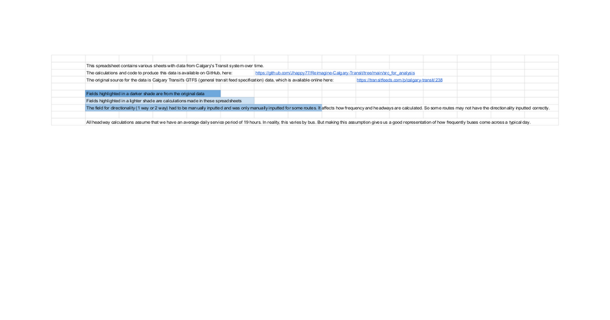
Here's the latest schedule from fall 2022. Route 23 does have some of the better frequency on the bus network, exceeding most of the MAX routes, but even still we are talking about a rush hour frequency of only 12/17* minutes. That's a terrible service level to be "at capacity" Are we saying that the corridor is at capacity and we are only running busses every 17 minutes? What are awe spending capital on? Fancy bus stops for everyone waiting 17 minutes for a bus? Surely if ridership is so good, adding more frequency is your capacity solution here!

*Side note - what does the slash even mean? Does that mean every 12 mins or every 17 minutes? Does it mean the bus comes every 12 - 17 minutes? Plain public-friendly language here please!)

1671821328562.png


There's really no way to know Calgary Transit's true priority of these routes - I infer that better frequency is alignment with more riders, but have absolutely no idea. Route 3 and 301 have the best frequency in the network, but there's no way to compare anything only infer. Does Route 23 have the same ridership as Route 3? Half as much? 100x less?

It's all just a big black box with lines drawn on the map but little actual hierarchy of service visible in action or in plan beyond a bunch of lines will go to 10 minute frequency one day.

I hope as this Route Ahead revisions progress, we get some more real detail on relative quality of each route.
 
Last edited:
*Side note - what does the slash even mean? Does that mean every 12 mins or every 17 minutes? Does it mean the bus comes every 12 - 17 minutes? Plain public-friendly language here please!)

There's really no way to know Calgary Transit's true priority of these routes - I infer that better frequency is alignment with more riders, but have absolutely no idea. Route 3 and 301 have the best frequency in the network, but there's no way to compare anything only infer. Does Route 23 have the same ridership as Route 3? Half as much? 100x less?
I maliciously hope that everybody who okays bus schedules with "12/17" as the headway gets a pay schedule with 12/17 day frequency; how does that level of uncertainty affect them?

CT is incredibly opaque about ridership. Translink in Vancouver is a very well-run agency, so perhaps it's too good as a comparison, but they produce annual (or even semi-annual) information showing the ridership on all routes, by direction and time of day. Either Calgary Transit doesn't have this information, which would be gross negligence, or they don't want to share it with the public. Even a high level of information -- average weekday boardings by route -- would provide some ability to see if what they are doing is working, what the effect of cutbacks or increases is, who is being underserved and who is using the service.
 
In another note, I took the MAX Yellow for the first time this morning, from the Rockyview to the downtown. This was middle of the peak, 7:30 AM, and the bus was packed. It wound up stopping at MRU for four minutes at a timepoint to get back on schedule, because it had arrived early. It's important for buses to maintain schedule, especially when the frequency is lower, so the driver was doing the right thing. But -- unless I caught the one freak occurrence -- the schedule for this service needs to be tweaked substantially. The city spent $65,600,000 building the busway on this route to save an amount of time that is likely less than four minutes, only for a bus full of people to wait for those four minutes because of the conservative scheduling.

(One other fun thing is there's a bug in Google's maps that disconnects the Rockyview BRT stop from the pedestrian layer; Google thinks that to take transit to the Rockyview you have to walk from the Heritage Park stop. So it gives bad advice to avoid people having the 20 minute walk. But that's Google.)

The other thing is that the full bus of people had perhaps three get on or off at MRU while we waited. Part of that is that the university isn't back from winter break, but part of that is that virtually no classes start before 8:30 AM at MRU. If there was greater frequency on the Yellow, there would be the possibility to run (especially before 8) alternating "express" services that skip the detour to the MRU campus -- which is a four minute drive per Google maps plus the stop time and provide a faster service for the majority of the riders who are commuting downtown. That's one of the advantages of a transitway and BRT -- you can provide different services that take advantage of the busway. But there would need to be something like 8 or more buses per hour to make skipping MRU on some trips make sense.
You should report that on google maps - I do it all the time for bike paths. Though I just fiddled and didn't have any issue with it directing me to either BRT stop for a transit route in either direction
 
In another note, I took the MAX Yellow for the first time this morning, from the Rockyview to the downtown. This was middle of the peak, 7:30 AM, and the bus was packed. It wound up stopping at MRU for four minutes at a timepoint to get back on schedule, because it had arrived early. It's important for buses to maintain schedule, especially when the frequency is lower, so the driver was doing the right thing. But -- unless I caught the one freak occurrence -- the schedule for this service needs to be tweaked substantially. The city spent $65,600,000 building the busway on this route to save an amount of time that is likely less than four minutes, only for a bus full of people to wait for those four minutes because of the conservative scheduling.
I wondering about that scheduling - there are so many time points where a full bus waits for a few minutes. Would be interesting to know the logic transit uses to think about scheduling nuances.

Anecdotally - so take with a grain of salt - when riding the bus in Toronto, Montreal or Vancouver I don't recall ever waiting at a bus stop on the bus except when it's at subway/metro/train station. Never more than a minute or two, on a sample size of a few hundred bus trips I have taken in these cities. I am sure they do have bus schedule challenges like every city, just didn't seem obvious that we were waiting without some other obvious reason (e.g. congestion, train-timed transfer).

I would have thought the travel times are far more variable in these cities given the more intense congestion issues on average, which would encourage the padding of the schedule and more time points, not fewer.

Or perhaps the opposite is true - congestion is more 24/7 on most routes in these cities so timing differentials aren't actually as big and schedules are more predictable?

Or is it because there's is a higher frequency on most routes (e.g. a bus every 10 minutes or less all day) - so if a bus shows up a minute or two early, you are never waiting more than 10-12 minutes so they don't bother micro-managing the schedule?
 
Last edited:
If there was greater frequency on the Yellow, there would be the possibility to run (especially before 8) alternating "express" services that skip the detour to the MRU campus
Call it MIN Yellow (minimum stops, "express") and MAX Yellow (current service)... Ha it's a confusing name I know. But is max an acronym?
 
CT is incredibly opaque about ridership. Translink in Vancouver is a very well-run agency, so perhaps it's too good as a comparison, but they produce annual (or even semi-annual) information showing the ridership on all routes, by direction and time of day. Either Calgary Transit doesn't have this information, which would be gross negligence, or they don't want to share it with the public.
One of the benefits of smart card systems like Compass (Vancouver) and Presto (GTA) is that they can get more accurate ridership numbers. Calgary Transit probably gets some data from the Transit.app but that’s obviously not the full picture.
 
Anecdotally - so take with a grain of salt - when riding the bus in Toronto, Montreal or Vancouver I don't recall ever waiting at a bus stop on the bus except when it's at subway/metro/train station. Never more than a minute or two, on a sample size of a few hundred bus trips I have taken in these cities. I am sure they do have bus schedule challenges like every city, just didn't seem obvious that we were waiting without some other obvious reason (e.g. congestion, train-timed transfer).

I would have thought the travel times are far more variable in these cities given the more intense congestion issues on average, which would encourage the padding of the schedule and more time points, not fewer.
Vancouver and Toronto have much higher frequency and transit users in general. I also find that when I visit a city, the transit is usually great, because you are travelling to the common and popular areas which usually have multiple routes overlapping so very frequent service. But when you live somewhere, you go to specific points of the city that may not be as well served by transit.
 
In another note, I took the MAX Yellow for the first time this morning, from the Rockyview to the downtown. This was middle of the peak, 7:30 AM, and the bus was packed. It wound up stopping at MRU for four minutes at a timepoint to get back on schedule, because it had arrived early. It's important for buses to maintain schedule, especially when the frequency is lower, so the driver was doing the right thing. But -- unless I caught the one freak occurrence -- the schedule for this service needs to be tweaked substantially. The city spent $65,600,000 building the busway on this route to save an amount of time that is likely less than four minutes, only for a bus full of people to wait for those four minutes because of the conservative scheduling.

(One other fun thing is there's a bug in Google's maps that disconnects the Rockyview BRT stop from the pedestrian layer; Google thinks that to take transit to the Rockyview you have to walk from the Heritage Park stop. So it gives bad advice to avoid people having the 20 minute walk. But that's Google.)

The other thing is that the full bus of people had perhaps three get on or off at MRU while we waited. Part of that is that the university isn't back from winter break, but part of that is that virtually no classes start before 8:30 AM at MRU. If there was greater frequency on the Yellow, there would be the possibility to run (especially before 8) alternating "express" services that skip the detour to the MRU campus -- which is a four minute drive per Google maps plus the stop time and provide a faster service for the majority of the riders who are commuting downtown. That's one of the advantages of a transitway and BRT -- you can provide different services that take advantage of the busway. But there would need to be something like 8 or more buses per hour to make skipping MRU on some trips make sense.
The one time I rode Max Yellow I also noticed a lot of time stoppage.

I think the scheduling initially massively underestimated the speed its able to make. I have gathered data on trip lengths and headways from Calgary Transit over the past few years and you can actually see the average scheduled trip length has been consistently adjusting downwards:

Time PeriodJan 2020Jan 2021Dec 2022
Avg Scheduled Max Yellow Trip Length49.842.939.8

That being said, less peak-centric service patterns would also impact this. But I think it's likely that there is still schedule leeway to cut back on the time it spends waiting around and give riders a better, faster experience.
And as mentioned elsewhere, if you just run buses at high frequencies, recovery time becomes much less relevant, as schedules stop mattering and people will be able to just show up and hop on.
 
One of the benefits of smart card systems like Compass (Vancouver) and Presto (GTA) is that they can get more accurate ridership numbers. Calgary Transit probably gets some data from the Transit.app but that’s obviously not the full picture.

Smartcards aren't needed for accurate boarding numbers.

Calgary Transit has had automatic person counters (APCs) on buses for over 40 years now. (Back then, they had 8K of memory and were processed with an IBM 380 mainframe computer). Originally a few buses as a pilot, and then by the late 2000s, they had like 100 of them that they could rotate to routes to sample them, but by now I think they likely have every single bus covered. These counters use infrared to identify people boarding or alighting, and are tied in with GPS to track specific stop locations and times to high detail, and can produce a ton of information about on-time and ridership patterns.

An example of the data is here; it was made available for a transit agency conference and is not documented in any way, but you can see the level of the data -- two six-week periods of transit provides ~582,000 data points. Here's an example someone built looking at the on-time performance (it doesn't actually work anymore), but the APC data includes detailed ridership information, including ons and offs.

What smartcards are beneficial for is the ability to track two additional things: one is true ridership vs. boardings (boardings count every vehicle entered, which means that a rider who transfers is counted twice -- with smart cards you can know the person is transferring and get closer to true ridership). The other is origin-destination, where you know where someone is coming from and going to, through transfers, but even on the same route. If 3 people each get on at A, B and C, and 3 people each get off at X, Y and Z, you don't know if there's three people going A-Z, three going B-Y and three going C-X, or one person between each of the nine possible combos or something else. This is more important on systems that have more complex, multi-centric built form with more crosstown type routes. Here, I suspect we have a lot of bus routes with 1-3 people getting on at each of 15 stops, then everybody gets off at the LRT station or downtown; you don't need more advanced analysis for that.
 
Last edited:

Back
Top