News   GLOBAL  |  Apr 02, 2020
 9K     0 
News   GLOBAL  |  Apr 01, 2020
 40K     0 
News   GLOBAL  |  Apr 01, 2020
 5.2K     0 

LOL the same organization that took an investigator off a case for daring to point out CP was stonewalling an investigation!


Another thing I missed.

Sounds like enough is pointing that this will be swept under the rug.

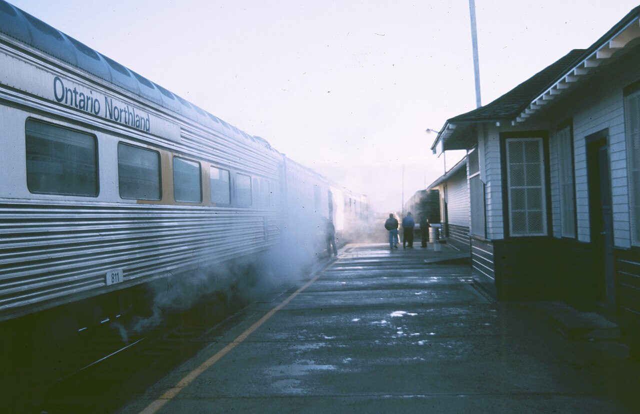
How come Ontario has never developed a shipping port out of Moosonee? We have a rail terminal there, and could compete with Churchill, MB.

I have the paper chart for that area. One look at it shows that it would be very difficult to have a good channel in and out. The mud flats can extend for several km at low tide. One grounded ship and it would become an ecological disaster.

I would ask why would competing with Churchill even be worth the cost? Churchill works because it is closer to the originating cargo than somewhere like Moosonee.
 
Obviously, no one would knowingly allow a bridge, etc. to be unsafe, but non-destructive testing and visual inspections have their limits.

I guess it depends on your definition of "knowingly allow" but this video is an interesting case of people knowing that the bridge was unsafe, but not doing anything about it (granted it wasn't a rail bridge).

 
Moosonee is about 20km upriver from James Bay on a very shallow delta. Trying to dredge and maintain a deep channel to open water for such a short shipping season wouldn't be economically sustainable.
Interesting points. This makes me wonder why we bothered making a rail line to Moosonee in the 1930 and maintained to before the beginnings of the tourist train era. Passenger service alone was likely not viable.


"The first station in Moosonee was built in 1932 by the then Temiskaming and Northern Ontario Railway."

But why?
 
Last edited:
Interesting points. This makes me wonder why we bothered making a rail line to Moosonee in the 1930 and maintained to before the beginnings of the tourist train era. Passenger service alone was likely not viable.


"The first station in Moosonee was built in 1932 by the then Temiskaming and Northern Ontario Railway."

But why?
I recommend the book "The Northern Connection,Ontario Northland since 1902"
Chapter 9 talks about the push beyond Cochrane. and how it was potentially going to be for shipping.

Churchill station was build only a few years earlier in 1929. So, it sounds like they were looking at Hudson Bay as a potential shipping area.

 
I wonder if the lack of being able to build a good port at Moosonee was on their radar back then. Or if it's something that could be built with the right amount of engineering - which might get more economical as the shipping season for the Hudson Bay lengthens.

Also, how has the shoreline and bathymetry changed with time in the 140 years since this route was proposed? There's been pushing 2 metres of uplift there since then - effectively making the sea level 2 metres lower, making navigation more difficult. It would be fascinating to see some of the original maps!
 
Interesting points. This makes me wonder why we bothered making a rail line to Moosonee in the 1930 and maintained to before the beginnings of the tourist train era. Passenger service alone was likely not viable.


"The first station in Moosonee was built in 1932 by the then Temiskaming and Northern Ontario Railway."

But why?
I haven't read the book cited by Michael but views were a little more 'pioneering' back then. I don't know if a '"port" was intended for international shipping or simply to supply the arctic. To be clear, commercial shipping does take place but it is barges that supply communities along the coast. They used to also provision the Quebec side but that has been pretty much negated by Hydro Quebec opening roads into the area.

With the explosion of mineral development opening by the southern portion of the new railway, and the agricultural potential of the Clay Belt, maybe they hoped for some similar settlement in the lowlands. Also, construction was a make-work project during the depression, as was the Ferguson Highway (Hwy 11).

I wonder if the lack of being able to build a good port at Moosonee was on their radar back then. Or if it's something that could be built with the right amount of engineering - which might get more economical as the shipping season for the Hudson Bay lengthens.

Also, how has the shoreline and bathymetry changed with time in the 140 years since this route was proposed? There's been pushing 2 metres of uplift there since then - effectively making the sea level 2 metres lower, making navigation more difficult. It would be fascinating to see some of the original maps!
Interesting point about the bathymetry back then vs. now. Also, I don't know how much, if any, the impact on hydro-electric development on the Moose River system has had on the flow and sedimentation.

You can pretty much create anything with enough money. The river and 'port' would require significant and regular dredging and I'm not sure it would be viable for ocean-going cargo without being heavily subsidized. I've been across to Moose Factory Island via motorized canoe and the operator was constantly sounding with a paddle (at full throttle!) and a lot of times he was hitting bottom. Even with his knowledge of the river, the channels move constantly. Keep in mind that the river and delta is tidal, so any depth considerations would have to take that into account.
 
I wonder if the lack of being able to build a good port at Moosonee was on their radar back then. Or if it's something that could be built with the right amount of engineering - which might get more economical as the shipping season for the Hudson Bay lengthens.

Also, how has the shoreline and bathymetry changed with time in the 140 years since this route was proposed? There's been pushing 2 metres of uplift there since then - effectively making the sea level 2 metres lower, making navigation more difficult. It would be fascinating to see some of the original maps!

Chances are, it was on their radar, but once they got there and really looked into it, it likely was shelved.

I haven't read the book cited by Michael but views were a little more 'pioneering' back then. I don't know if a '"port" was intended for international shipping or simply to supply the arctic. To be clear, commercial shipping does take place but it is barges that supply communities along the coast. They used to also provision the Quebec side but that has been pretty much negated by Hydro Quebec opening roads into the area.

With the explosion of mineral development opening by the southern portion of the new railway, and the agricultural potential of the Clay Belt, maybe they hoped for some similar settlement in the lowlands. Also, construction was a make-work project during the depression, as was the Ferguson Highway (Hwy 11).

Most of the line was built by the 1930s.

It first was a way to connect to the Great Clay Belt around New Liskard as they saw it as a potential boom for agricultural. Before they reached there, they hit the silver deposits of Cobalt an Haileybury. As they pushed north to Cochrane, they found gold and other minerals.

The lowlands, they suspected coal. Had they found it, the area would have boomed even more.

Interesting point about the bathymetry back then vs. now. Also, I don't know how much, if any, the impact on hydro-electric development on the Moose River system has had on the flow and sedimentation.

I never thought of how that dam would change things. Most likely it has.

You can pretty much create anything with enough money. The river and 'port' would require significant and regular dredging and I'm not sure it would be viable for ocean-going cargo without being heavily subsidized. I've been across to Moose Factory Island via motorized canoe and the operator was constantly sounding with a paddle (at full throttle!) and a lot of times he was hitting bottom. Even with his knowledge of the river, the channels move constantly. Keep in mind that the river and delta is tidal, so any depth considerations would have to take that into account.

Back then, a case could have been made for it. Now a days, until the Arctic is ice free year round, It won't be viable enough to put the money there.

The feds have invoked binding arbitration and ordered normal operations to resume in the interim.

This isn't back to work legislation, right?
 

Back
Top