News   GLOBAL  |  Apr 02, 2020
 9.8K     0 
News   GLOBAL  |  Apr 01, 2020
 41K     0 
News   GLOBAL  |  Apr 01, 2020
 5.6K     0 

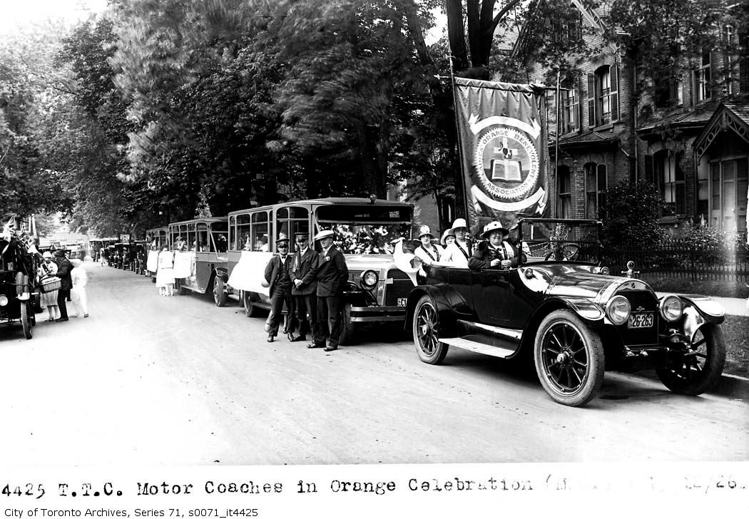
July 11th: Just one photo, from 1925, of a procession of chartered TTC buses southbound on Dufferin Street at Springhurst Avenue en route to Loyal Orange Lodge rally in Exhibition grounds with bus no. 48.

s0071_it3890.jpg


Many of the houses in the backround are still there. You can find the location of the photo, along with the link to the Toronto Archives site, here.

July 13th: A rather uninspired photo of the top of John Street, 98 years ago in 1912, and the gate into the Grange. You can see more photos from this location, including the little cottage that was there, here on the map.
s0372_ss0053_it0039.jpg


Then 8 years later, in 1920, we have this photo of men and horses, as well as a high-tech steam shovel, grading Earlscourt Park :
s0372_ss0052_it0835.jpg
 
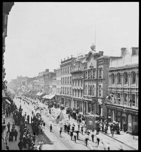
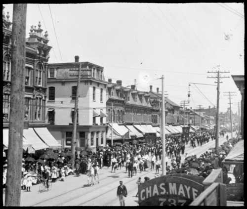
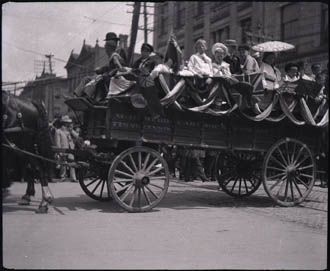
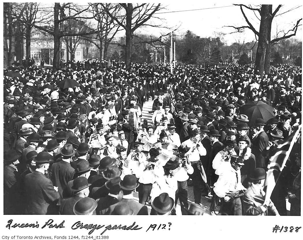
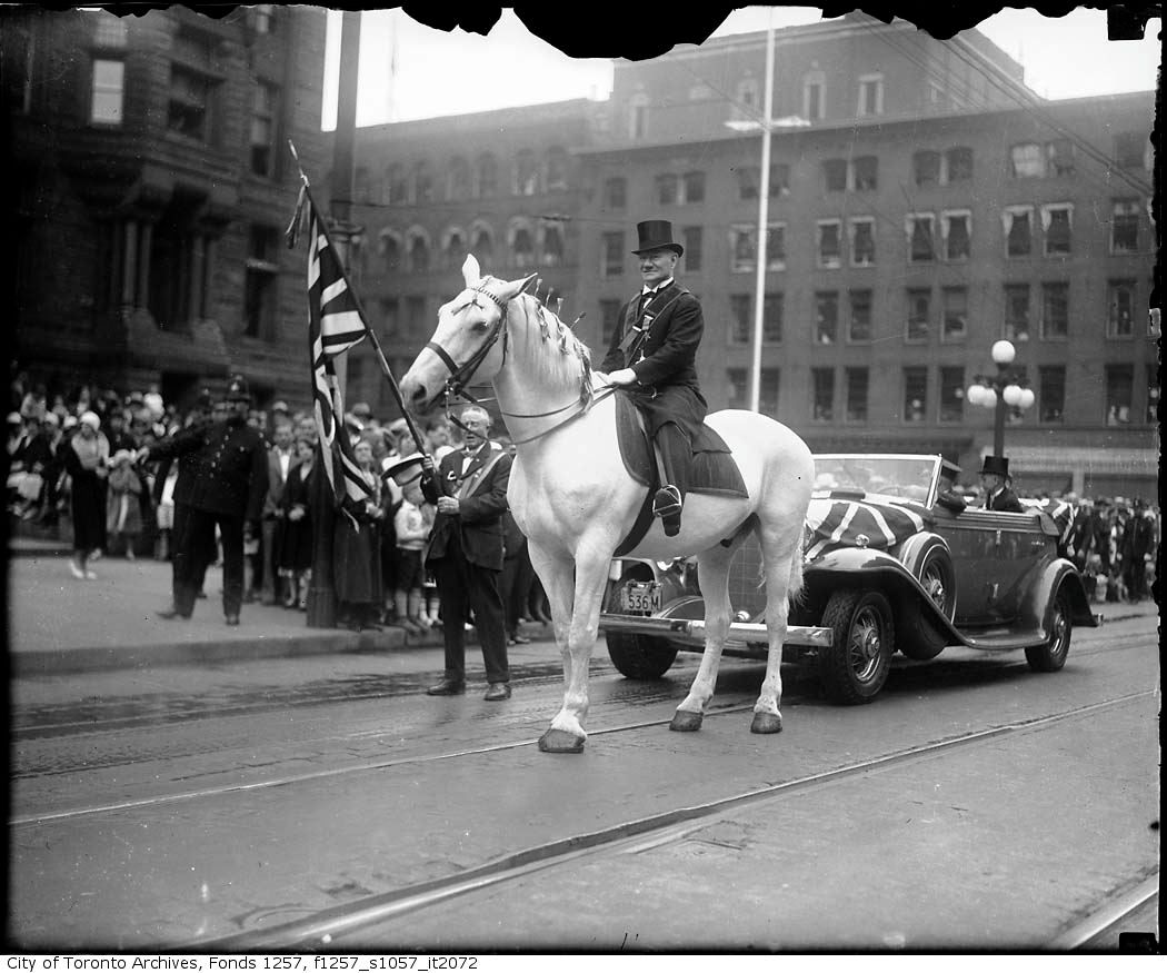
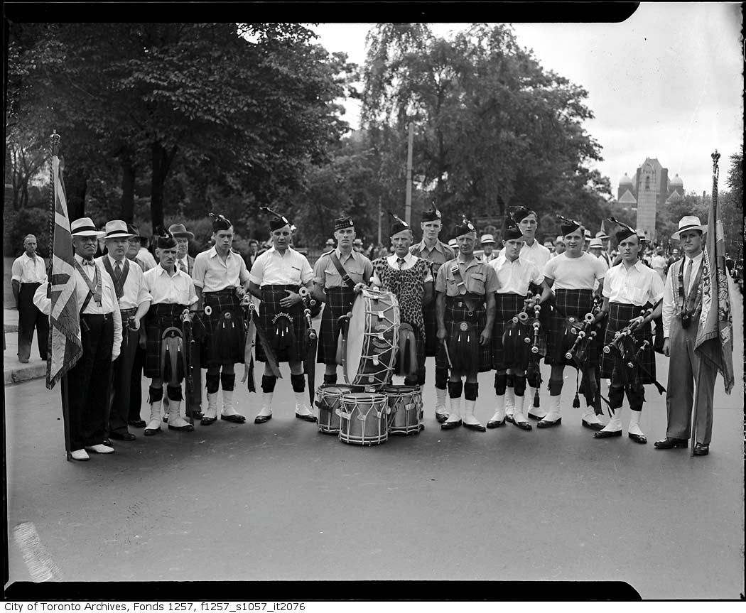
One can not underestimate the importance of the Orange Order in the history of Toronto, or the significance of July 12th on its calender (often referred to as "The Glorious Twelfth").

From Wikipedia:

"The Orange Order became a central facet of life in Ontario, especially in the business centre of Toronto where many deals and relationships were forged at the lodge. Toronto politics, especially on the municipal level, were almost wholly dominated by the Orange Order. At its height in 1942 16 of the 23 members of city council were members of the Orange Order. Every mayor of Toronto in the first half of the twentieth century was an Orangeman. This continued until the 1954 election when the Jewish Nathan Phillips defeated radical Orange leader Leslie Howard Saunders."

1888 (King and Yonge):
orange1888.jpg


1900 (Queen and Palmerston):
orange1900.jpg


1907:
orange1907.jpg


1912:
orange1912.jpg


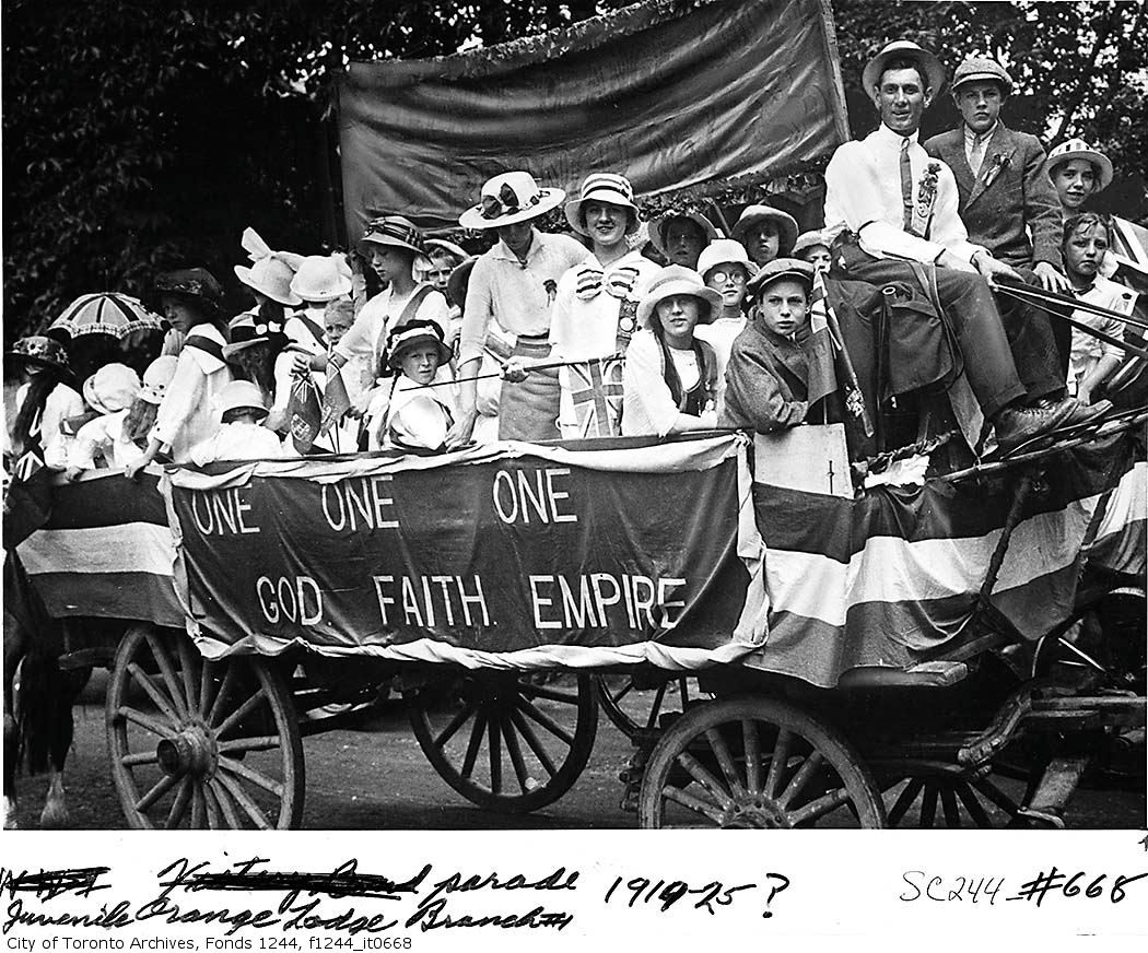
1919:
orange1919.jpg


1926:
orange1926.jpg


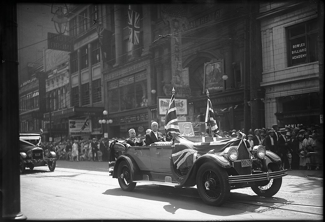
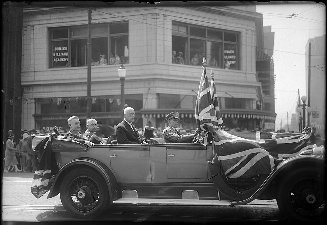
1927 (with Mayor Foster):
orangemayorfoster1927.jpg


orangemayorfoster1927a.jpg


1932:
orange1932.jpg


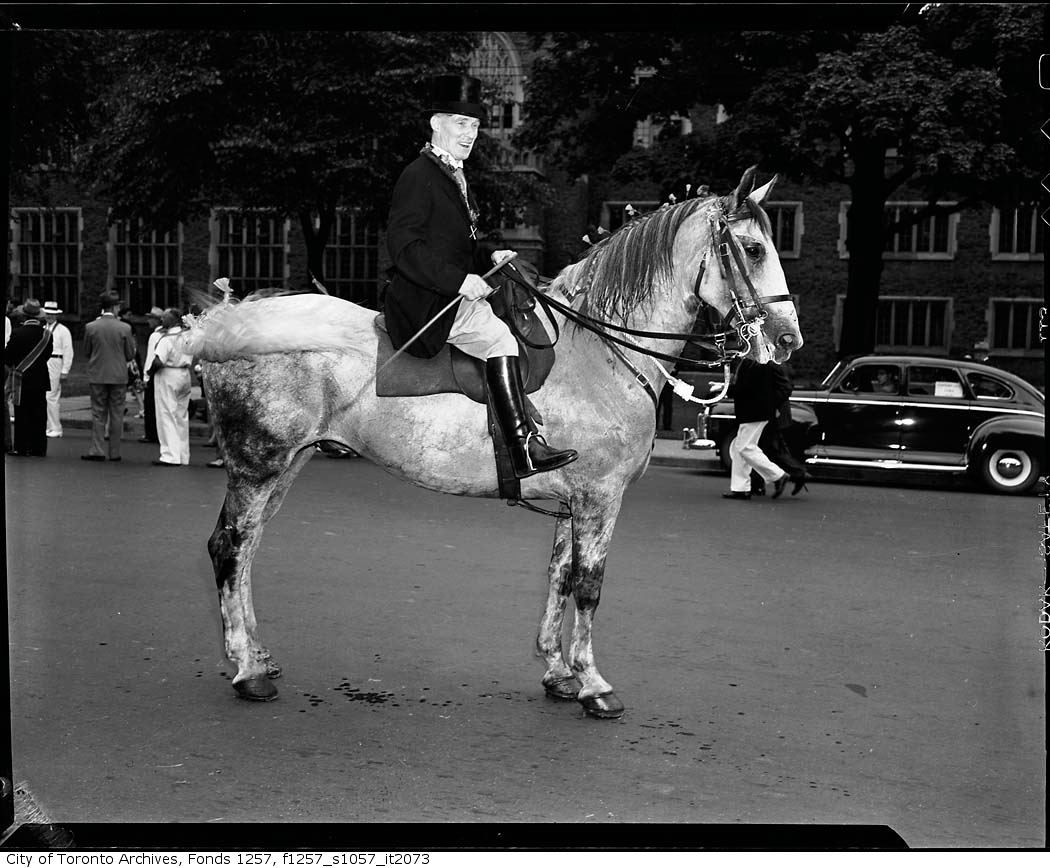
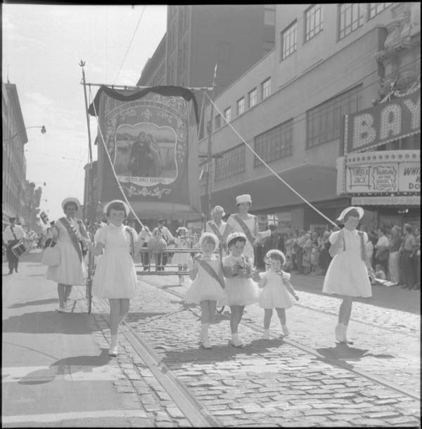
1940's (?):
orange2.jpg


orange3.jpg


orange5.jpg


orange.jpg


1962:
orange1962.jpg
 
Last edited:
parade c.1870

Toronto's annual Orange Parade was certainly a major event until recently.

A great photo collection, thanks to thecharioteer.

This photo (see thumbnail) may be the earliest photo record such a parade - on King St., c.1870
 

Attachments

  • orange-parade King St. Toronto c.1870.jpg
    orange-parade King St. Toronto c.1870.jpg
    55 KB · Views: 393
Your welcome, Goldie! To be honest, a number of the pics evoked mixed feelings, particularly the 1919 one where the slogan "One God, One Faith, One Empire" is a short jump to "Ein Volk, Ein Reich......."
 
These are great, thanks so much for adding them!

...particularly the 1919 one where the slogan "One God, One Faith, One Empire" is a short jump to "Ein Volk, Ein Reich......."

My first reaction too. I try not to judge people outside the historical context... a lot has changed in 90 years. But I'm also reminded that human nature never changes.
 
I don't know if this is the right place to ask, but can anyone give me a synopsis of the circumstances that the majority of these pictures were taken under? There's pics I like from the Toronto archives of the Junction about 100 years ago, with workers laying tracks. Why were these pictures taken? To prove the work was being done? And by whom? Just independent photographers or TTC workers? Thanks for any insights!
 
July 15: One photo from 1936, of the Rosehill resevoir 74 years ago at 4PM, showing 12.3 ft of water:
s0372_ss0072_it1181.jpg


If you view the location on the map you can see other photos from the resevoir, including a number from WW II when they installed security around the resevoir.

From there we jump to 1953, and a collection of photos of Roxborough just east of Yonge Street. Sungs asks a good question about why these photos were taken... I thought these might be in advance of building the Subway, but by 1953 I assume most of the work had been done...

First the Southeast corner of Roxborough and Yonge Street:
s0372_ss0058_it2406.jpg


Then just a bit east to houses (and wires) at 3 and 5 Roxborough Street East:
s0372_ss0058_it2403.jpg


Across the street is 4 Roxborough Street East with Yonge Street behind, with a gas station on the left (south) side of the photo, and the building on the right (north) side which is still there today:
s0372_ss0058_it2405.jpg


Then finally 6 Roxborough Street East, with the subway cut at the far left, I assume:
s0372_ss0058_it2404.jpg


I'm not sure how long these houses lasted, between Yonge St. and the subway...

(You can see the links to the City of Toronto Archives records for these photos, as well as a link to their locations, here. )
 
I don't know if this is the right place to ask, but can anyone give me a synopsis of the circumstances that the majority of these pictures were taken under? There's pics I like from the Toronto archives of the Junction about 100 years ago, with workers laying tracks. Why were these pictures taken? To prove the work was being done? And by whom? Just independent photographers or TTC workers? Thanks for any insights!

Seemsartless provides a link to the Archives description details, which provide lots of information & may explain why a photo was taken.

For example, the Roxborough photos are from Series 372; Dept. of Public Works photographs, Subseries 58; Road and street condition photographs. The description for that subseries says:
"Subseries consists of photographs of streets and intersections across Toronto. Arranged chronologically, the photographs document road construction and maintenance projects including street paving (bitulithic, tarvia, concrete, Rocmac), road widening, track laying and reconstruction, and the creation of traffic islands. Also included are examples of damage to streets, including erosion, and weather-related incidents such as defective paving, cave-ins, curb heaving and flooding."​
I assume the Roxborough photos were taken by city staff, and appear to be focused on the condition of the sidewalks (due to subway construction?) and the curbs, which were probably due for replacement. The descriptive details also provide the history of the Department of Public Works, if you're interested.

There are photos that were taken or collected by independent photographers (William James family, James Salmon, Ellis Wiley & Alexandra Studios) and donated to the archives. A lot of the TTC construction photos were taken by Eric Trussler:
"Fonds consists of photographs taken in Toronto by professional photographer Eric Trussler while he was employed by Canada Pictures Ltd. and Ken Bell Photography. Fonds also consists of photographs taken between 1957 and 1974, when Trussler was operating his own business, Eric Trussler Photography. For many years of his career, Trussler's major client was the Toronto Transit Commission. His association with the TTC began while he was still with Canada Pictures Ltd. and continued through his time as an independent photographer. Trussler's work provides a detailed and highly professional record of the development of the original Yonge Street subway line, the further extensions to the subway system, and operations at the TTC generally."​

Scope & content of the various series in the Archives are here:
http://www.toronto.ca/archives/digitised_photos_list.htm
 
April 6th: Well, maybe 'old' is a better description than 'historic', but I thought it would be interesting to post some photos from Toronto on this day...
In another thread there was a question of industry in the backs of the houses along St. Clarens Avenue, and there are two photos in the Toronto Archives at 1025 St. Clarens from 78 years ago today:

thumbnailImage
thumbnailImage


There is also a photo from 83 years ago of the railroad illumination tower at Strachan Avenue:
s0372_ss0079_it0196.jpg


It is pretty basic right now, but I've started a web page to list Toronto historic photos from today (and the last few days) at http://wholemap.com/historic/toronto.php (I'll add an RSS feed soon, as well).


I love these old pictures. Thanks for having this thread. I could spend all day here..

:eek:
 
I love these old pictures. Thanks for having this thread. I could spend all day here..

Thanks KoryLGriffin and Holenchuk. I have to agree that this is a wonderful forum, and the City of Toronto Archives have great photos from around Toronto, but the most amazing part to me is the additional information people add about the history of photos.

July 17: Two photos from 1919, 91 years ago, along Front Street, the first one looking east over York Street, with Union Station on the right (construction started in 1914 but wasn't finished until 1921, with even more delays until the 1st passengers used the station in 1927), and no Royal York yet, but instead the Queen's Hotel amongst all the signs.
f1231_it0477.jpg


We move a few blocks east, to look across Bay. If you check out the other historic photos from this area, you'll see the devastation of the 1904 fire, just 15 years earlier.
f1231_it0478.jpg


From here we'll continue south a bit, and jump to 1936 and the expanding waterfront - the Harbour Commission parking lot, looking south-east, from Bay St, subway at 4:00 p.m (I love it when we even know what time it is in these photos).
s0071_it11449.jpg
 
Last edited:
f1231_it0478.jpg


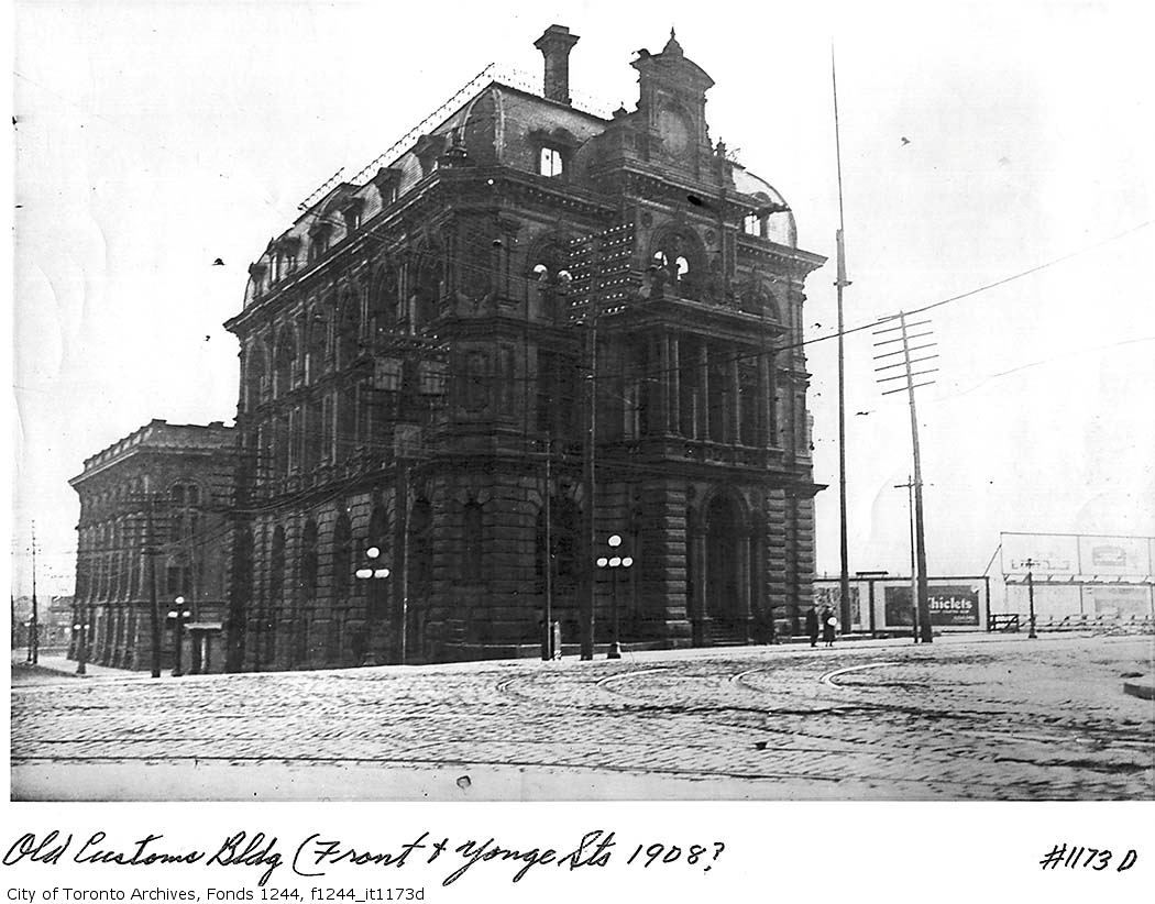
Right behind the streetcar, would that be the old Customs House being demolished? (I recall 1919 being given as the demolition date.)
 
f1231_it0478.jpg


Right behind the streetcar, would that be the old Customs House being demolished? (I recall 1919 being given as the demolition date.)

I think you're right, adma. One of the great "what-ifs": if the new Dominion Building had been designed to leave the old Customs House in place.

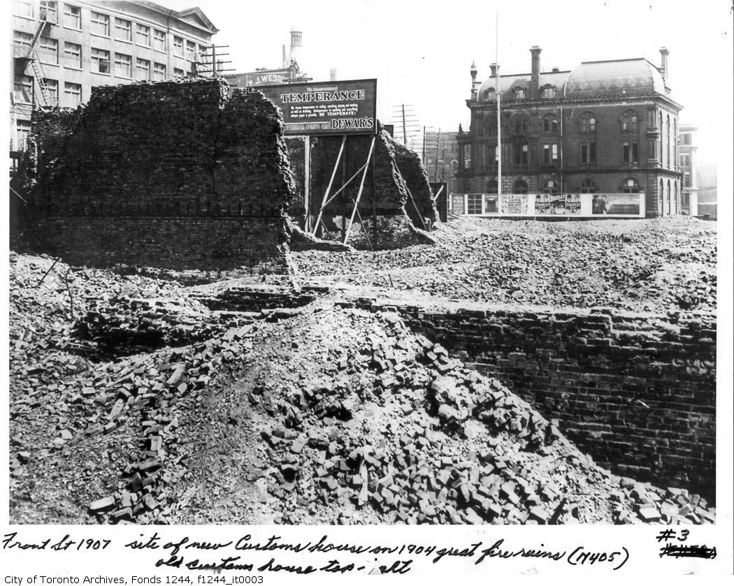
f1244_it0003.jpg


f1244_it1173d.jpg


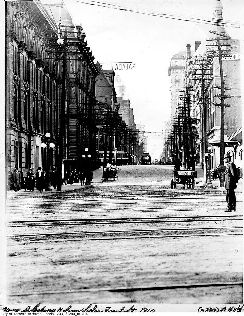
f1244_it0484.jpg
 

Back
Top