News   GLOBAL  |  Apr 02, 2020
 9.7K     0 
News   GLOBAL  |  Apr 01, 2020
 41K     0 
News   GLOBAL  |  Apr 01, 2020
 5.5K     0 

This photo was posted on the "Montreal Then and Now" Facebook group. It is a march plugging War Savings Certificates, and features Greek flags - so probably WW2 vintage. Rather than being in Montreal. it appears that it may actually be in Toronto. There was a "New Empress" hotel at the SE corner of Yonge and Gould. Can anyone come up with views of this intersection while the hotel was there to confirm (or not) our suspicions?

19xx_new_empress.jpg
 

Attachments

  • 19xx_new_empress.jpg
    19xx_new_empress.jpg
    80.3 KB · Views: 1,514
Toronto Mayors Then (yesterday) and Now (today).
ford.jpg
Kelly.jpg


OK, We now return you to regular programming!
 

Attachments

  • ford.jpg
    ford.jpg
    5 KB · Views: 1,316
  • Kelly.jpg
    Kelly.jpg
    4.6 KB · Views: 1,309
This photo was posted on the "Montreal Then and Now" Facebook group. It is a march plugging War Savings Certificates, and features Greek flags - so probably WW2 vintage. Rather than being in Montreal. it appears that it may actually be in Toronto. There was a "New Empress" hotel at the SE corner of Yonge and Gould. Can anyone come up with views of this intersection while the hotel was there to confirm (or not) our suspicions?

View attachment 25516


It was the 'New Empress Grill' in the Edison Hotel (formerly the Empress Hotel). And the building on the north side of the street (presumably Gould) in your photo looks lot like the Bank of Commerce Building that was there.

s0574_fl0018_id49378.jpg


s0574_fl0018_id49379.jpg
 
Once the shadows were opened-up (see attached photo), there can be no doubt that those buildings are identical (thanks to Anna for the 'oldies').

19xx_new_empress.jpg
 

Attachments

  • 19xx_new_empress.jpg
    19xx_new_empress.jpg
    96.7 KB · Views: 1,722
I am looking forward to your looking through it, but I have recently run across some very accurate maps of London Ontario and am doing an update release in about a week. I will update the electrics map first due to London having previously been my poorest map, then redo the class 1 railways map next. For those interested in London: http://www.lib.uwo.ca/files/madgic/geodetic1926/geo1926index.html

Paul

Here it is: www.cermc.webs.com Scroll down to the bottom of the page for the download. Read the updates page for an overview of the latest changes. Please remember to delete any previous copies of the map file from "My Places" of your Google Earth before you open this new file to avoid unnecessary duplication.
 
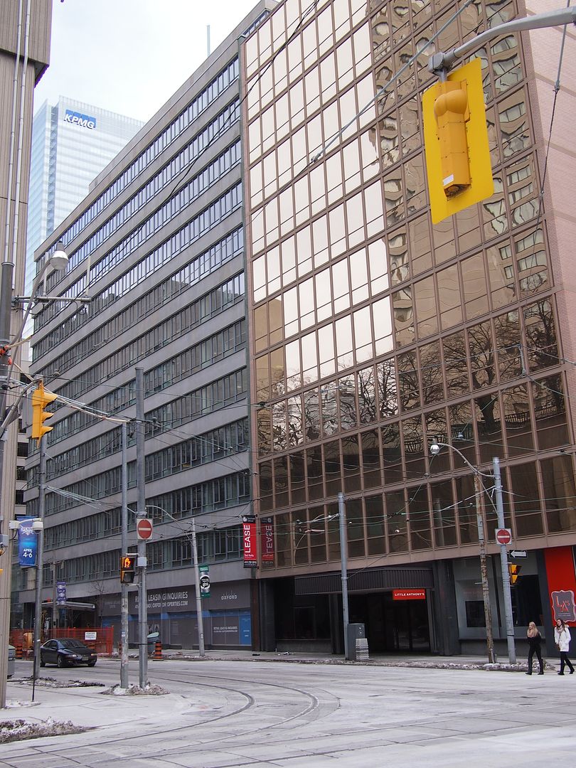
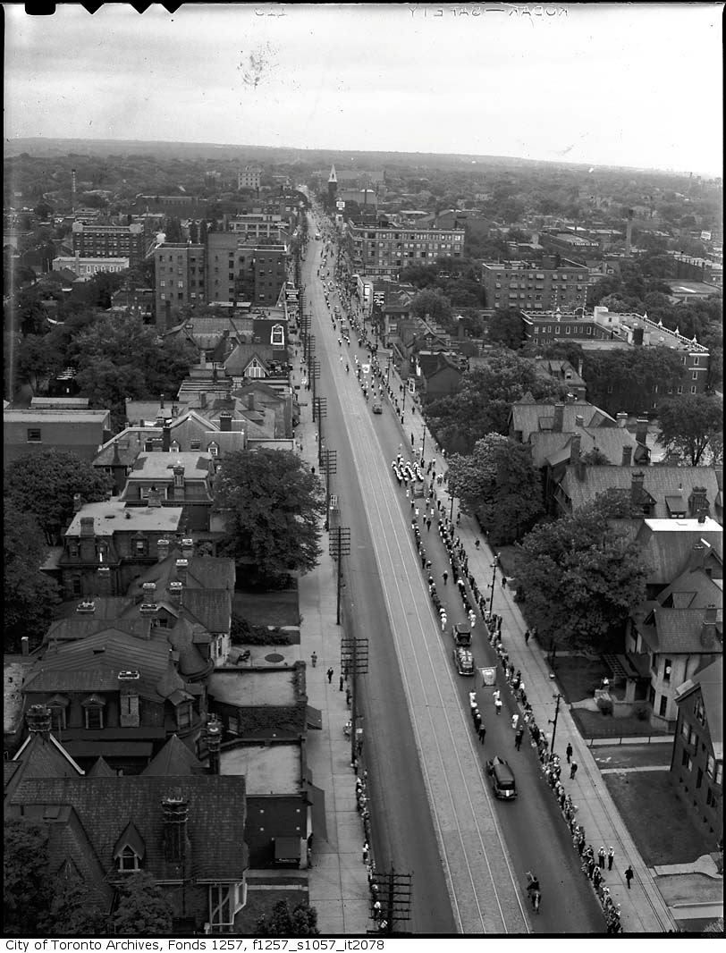
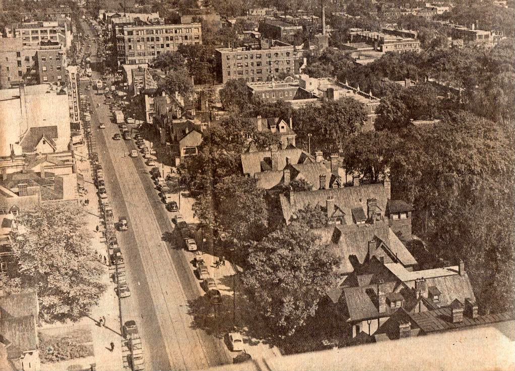
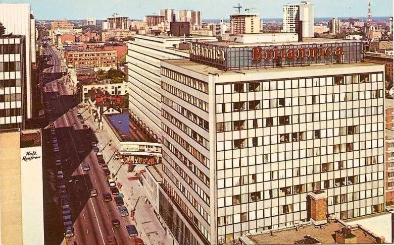
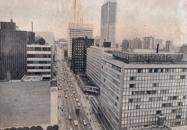
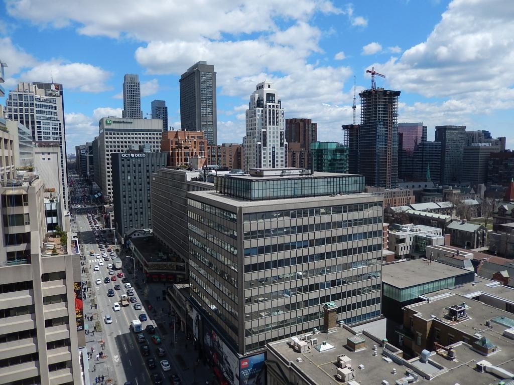
Bloor Street from the Park Plaza:

1930's/40's Orange Parade:


1950's:


1960's:


1970's:


Today (thanks to Jasonzed on Skylines thread):


Postscript:

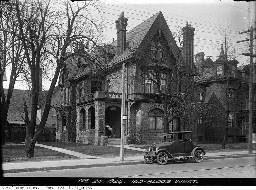
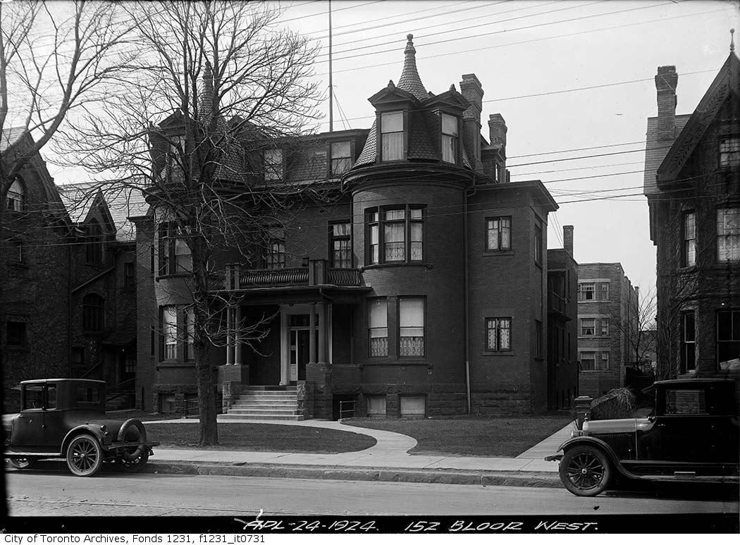
The first two houses in the 1930's/40's pic as they were in the 20's:


Last edited:
you can see St. Andrew's church on bloor east quite clearly in the first picture, and all the way up to but not including the last picture

it was "repurposed" in 1981 by the office tower at 121 bloor east, moving into a renovated building in the back

i worked at 121 bloor east from 1987 to 1994, and we held occasional all-company meetings in their auditorium

The arch from the demolished St. Andrew's re-erected Yonge & Granby was one of the Urban Design Department's more bizarre exercises:

1980's:

yongegranby arch.jpg


yongegranbyarch2.jpg
 

Attachments

  • yongegranby arch.jpg
    yongegranby arch.jpg
    95 KB · Views: 1,360
  • yongegranbyarch2.jpg
    yongegranbyarch2.jpg
    100.2 KB · Views: 1,372

Back
Top