Mustapha
Senior Member
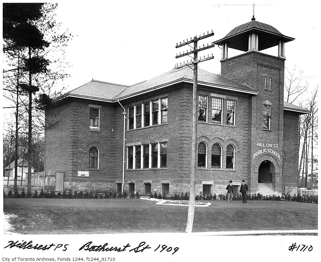
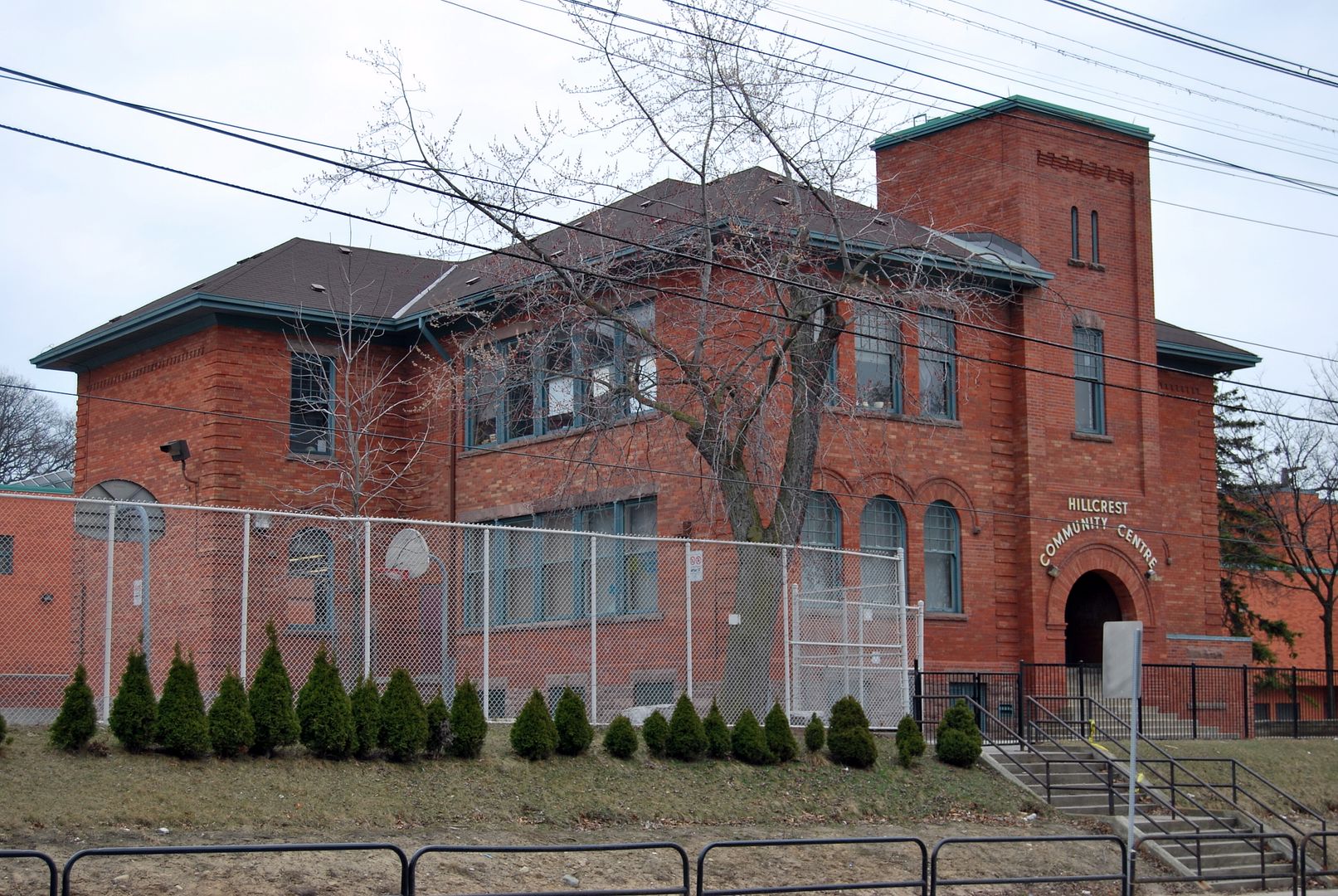
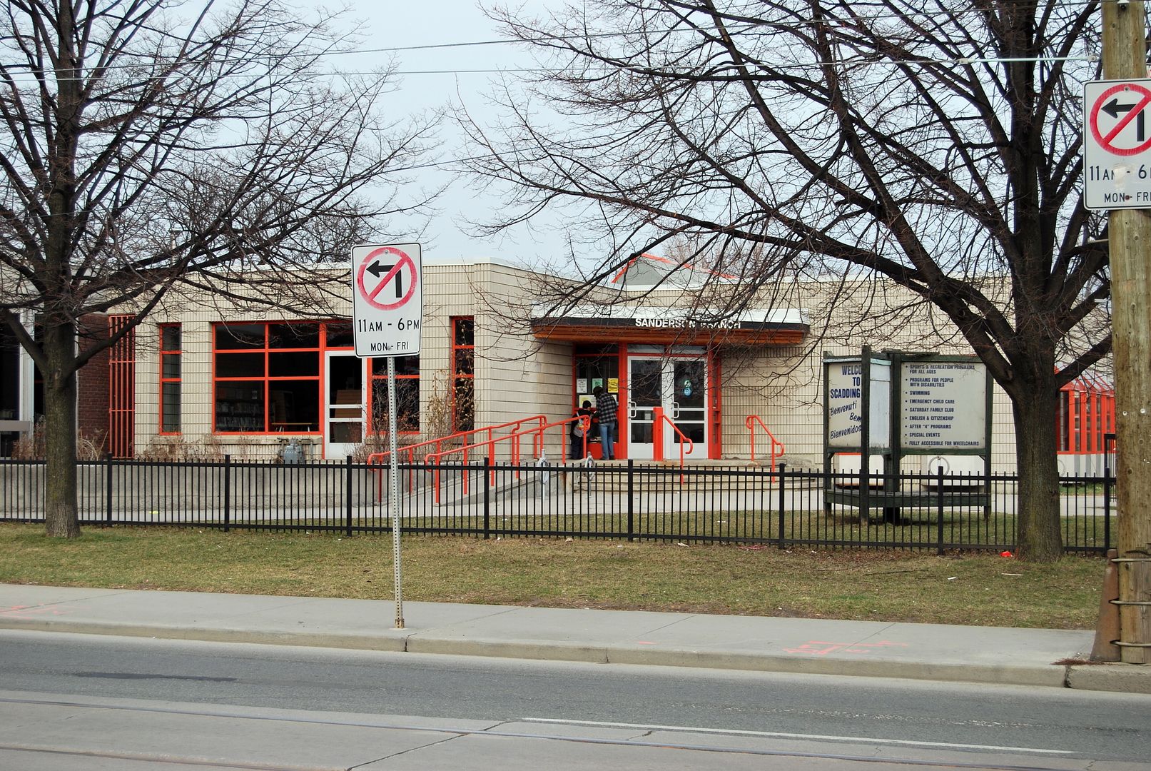
May 1 addition.
Then. May 19, 1915. View of King/Roncesvalles/Queen intersection [on the right of the photo] in the distance from Lake Ontario.
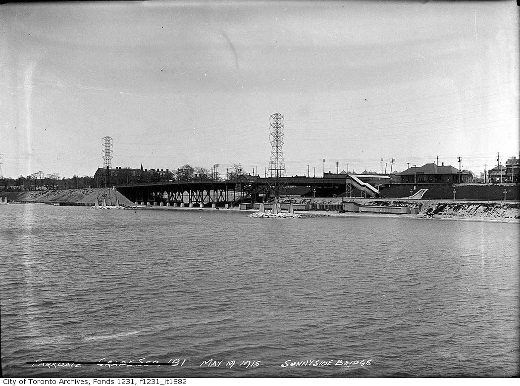
Now. March 2010. In the old photo the old Sunnyside train station can be seen at King street level. Passengers descended to and exited at track level through the sallyport [my term, don't know what else to call it]. This sallyport/concrete exit cut into the side of the embankment is buried, but not completely. If you stand on the modern pedestrian bridge (the one that takes you over the rail tracks and expressway) and look down you can see the concrete lower extremities of the sallyport. Perhaps a train buff will come along and tell me what these structures are called.
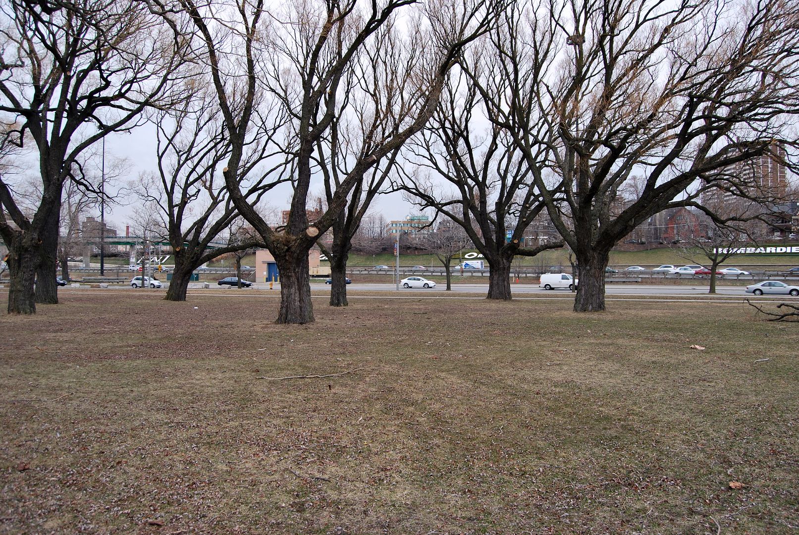
Then. May 19, 1915. View of King/Roncesvalles/Queen intersection [on the right of the photo] in the distance from Lake Ontario.
Now. March 2010. In the old photo the old Sunnyside train station can be seen at King street level. Passengers descended to and exited at track level through the sallyport [my term, don't know what else to call it]. This sallyport/concrete exit cut into the side of the embankment is buried, but not completely. If you stand on the modern pedestrian bridge (the one that takes you over the rail tracks and expressway) and look down you can see the concrete lower extremities of the sallyport. Perhaps a train buff will come along and tell me what these structures are called.
Last edited:
")