Mustapha
Senior Member
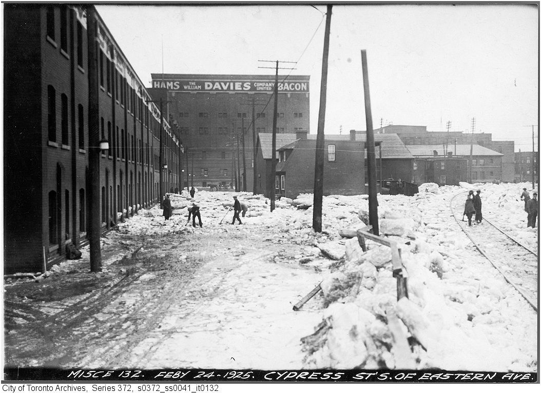
That sure looks like the Broadview Hotel, as J T Cunningham says. The view could only be from the southwest. As JT mentions, there was a Wm Davies plant in this area - lower Don River, west side. The area has been totally cleared for years now in preparation for new housing.
Wm Davies plant picture below.

Here is a link to a 1916 map so you can "place" the above view. Map quadrant M 16: Cypress street was a north/south street that ran south from Eastern immediately west of the Don River.
http://maps.chass.utoronto.ca/cgi-bin/files.pl?idnum=1088&title=+1916
I have an upcoming Then and Now of this Wm Davies plant. The picture is in a camera that isn't here at home tonite. I'll fetch the camera, move up the posting date and post it tomorrow. Very timely of BeeRich to bring this up.
Wm Davies plant picture below.

Here is a link to a 1916 map so you can "place" the above view. Map quadrant M 16: Cypress street was a north/south street that ran south from Eastern immediately west of the Don River.
http://maps.chass.utoronto.ca/cgi-bin/files.pl?idnum=1088&title=+1916
I have an upcoming Then and Now of this Wm Davies plant. The picture is in a camera that isn't here at home tonite. I'll fetch the camera, move up the posting date and post it tomorrow. Very timely of BeeRich to bring this up.
Last edited:


