11th
Senior Member
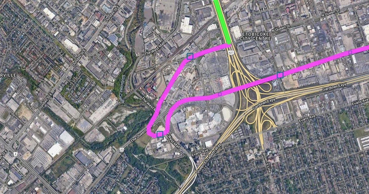
For the Dufferin option, they can probably do something similar to the Lakeshore East corridor.
Starting from Exhibition:
Dufferin/Queen
Brockton (Dufferin/Dundas)
Dundas West (<> line 2)
"Junction" (Dundas/Dupont)
Stockyard (replaces planned station on Kitchener line)
Mount Dennis (<> line 5)
Jane/Lawrence
Jane/Wilson
Jane/Sheppard
Jane/Finch (<> line 6)
and then might as well, Jane/Steeles, Highway 407 (<> line 1)
Line should be entirely elavated on Jane.