I'm personally not a fan of the Northlander, but ...
Let's build highways to the middle-of-nowhere! Cartier's population is less than 250, that's hardly the demand needed for a 400-series.
This isn't a 400 series highway to get to Cartier. It is to get people on the 17 Southeast/Southwest by-pass and 400 past Sudbury and environs. It would carry a significant portion of what goes on 144, 17 over the top of Thunder Bay, and 11 which is used for cross-country traffic from Ottawa and points east to western Canada today. They are making a 4-lane highway between Thunder Bay and Nipigon and it isn't because Nipigon is a major destination, it is because this is the cross Canada route.
I'd be fine with upgrading Sultan Road, but people will still choose to drive through the States unless we build a 400-series from Sudbury to Kenora. Not happening.
Today the fastest route (not shortest, but fastest) from Winnipeg to Ottawa is via Highway 11 which is 2,140km. This route would cut the distance between Ottawa and Winnipeg to less than 2,042km, which is as good as the best route through the USA but would be faster.
As a province, I think we need a serious discussion on the future of the Hudson Bay Lowlands. Do we leave it as-is and possibly develop a tourism industry there, or do we go the resource development route?
True. The resources there are key to a lot of the low-carbon technologies we are building today, but we need to ensure we aren't trading one environmental disaster for another and have a more serious focus on minimizing the impact of these activities on the natural environment and which also ensuring that end the end the environment is returned to its natural state.
Does the 556 serve a genuine purpose or is this road building in Northern Ontario for the sake of road building in Northern Ontario?
It is the fastest route from Sault Ste Marie to Timmins. Highway 129 south of 556 to Thessalon is the more useless road because it isn't the fastest route to any significant destination.
A more limited highway from Marathon to Longlac will serve the same transportation need.
But double the maintenance on a regular basis because it wouldn't replace the ongoing maintenance requirement on the roads that are already there.
Resigning 17 will be a bucket of confusion. Can you explain the purpose of that move?
It is the fastest route from Winnipeg to Ottawa. Today the fastest route from Winnipeg to Ottawa takes 17, 102, 17 again, 11, and then 17 again. The highway route today guides people on a path that might as well be a tourist trail.
At this point, drawing lines on a map. Improving the Sultan Road will serve the same purpose.
This is a resigning exercise with the highway upgrades already covered. This is taking 101 off the section from Wawa to Chapleau and moving it to Sault Ste Marie to Chapleau because Highway 17 would run Wawa to Chapleau.
I'm not even going to try to digest this statement, other than asking for its purpose.
Highway 17 signage from Manitoba border to 417 in Ottawa following the fastest route between those places rather than a tour of Thunder Bay downtown and Sault Ste Marie.
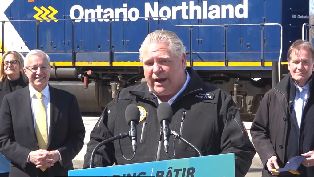
You want a train but you don't want a train?
This is what is already announced. I'm not sure that service between North Bay and Timmins is enough to sustain the service but I guess the provincial business case believes so. If the track can be upgraded to a decent speed it should be better than the bus.
Not sure what you're asking for, this exists in a basic form already.
This is starting the Polar Bear Express in Timmins rather than Cochrane for two reasons... Timmins is the largest center in the area, and the Northlander would take people to Timmins. Timmins makes more sense as a hub compared to Cochrane.
At the end of that, I need to ask: what is the purpose of these projects? If you don't have a need for them, are you going to build them and hope for the best (which seems to be the strategy)?
Today there is RDC service from Sudbury to White River, but it isn't connected to any bus / train network. It doesn't provide a network connectivity to allow a chance of real success. Extending the service to Thunder Bay (to link two actual places), having a service once daily to Sudbury from Toronto at times that make sense to connect to Sault Ste Marie (bus) and Thunder Bay (RDC) allows greater use of what is already there.
Southern Ontario has a very large number of potential projects to be funded, so unless there is a real purpose to drawing lines all across Algoma and Timiskaming, I'd say that it's a hard no.
Most of those lines are already there or replace something we already need to pay a yearly maintenance for but don't get as much value for. The actual infrastructure investments are (there are only 4):
- Chelmsford-Phelans-Cartier by-pass replacing 144 that exists today and the end result is less km and faster route (which an upfront infrastructure investment that reduces ongoing costs).
- Secondary Highway 667 and Sultan Road to Kings Highway standards. An upgrade to get better value across the northern highway network. Sudbury to Thunder Bay is 1000km on existing routes, and would be reduced by about 100km with the upgrade which is less fuel, time, etc.
- Create a highway running over and replacing Secondary Highway 614, Secondary Highway 625, and Blueberry Rd (Longlac-Nakina) which is mostly pre-existing road being upgraded minus the Manitouwadge to Caramat section which would be new. Today the fastest route to Nakina from Sault Ste Marie is 687km. By connecting Manitouwadge and Caramat with a road to standard the distance would drop by about 100km.
- Bring Secondary Highway 556 up to King's Highway standards.
In summary, a by-pass of a slow moving highway through towns near Sudbury, upgrading three roads (667-Sultan, 614/625/Blueberry, and 556) to a higher standard, and building a new section of road from Manitouwadge to Caramat. All the other items are signage (to guide better use of infrastructure), trains that already exist being extended to connect to places to make them more useful, and connecting a bus to those trains.


northernontario.ctvnews.ca
