Midtown Urbanist
Superstar
Had an inspiration while reading some of the transit threads and in light of recent discussion.
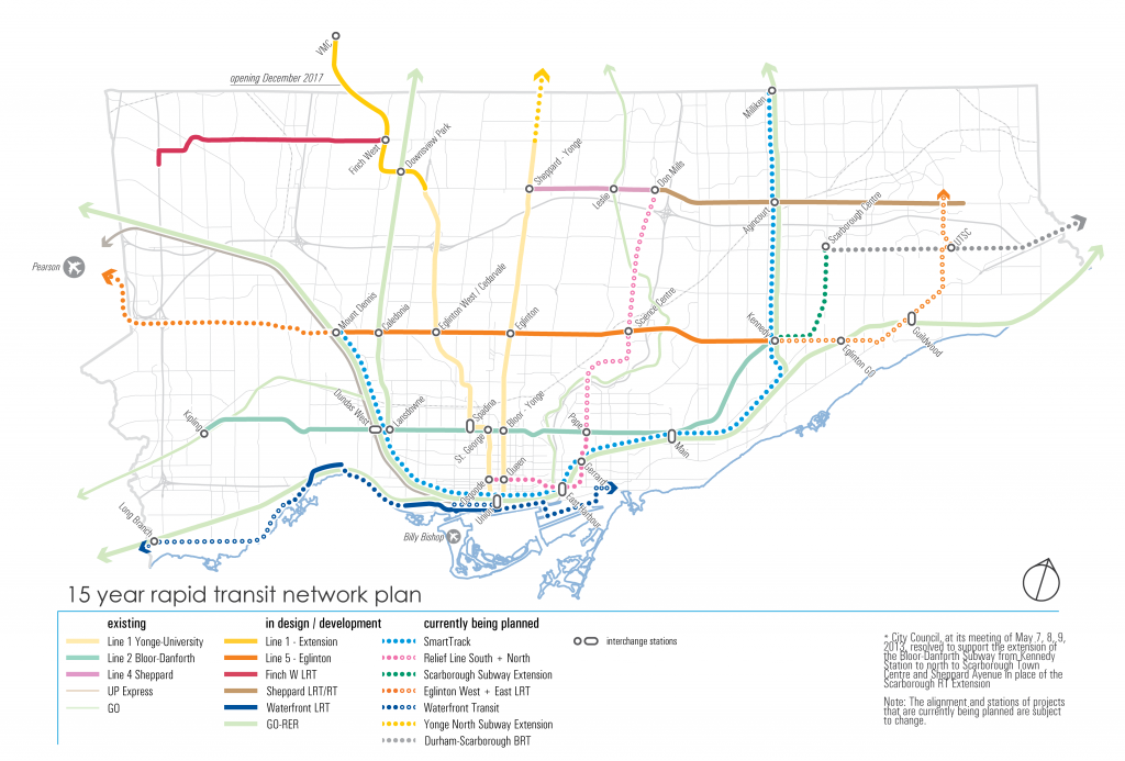
Bloor Line extended to Dixie GO. Exits the rail corridor before Shorncliffe to return to Dundas corridor. It could remain on the rail corridor, but I figure there is more development potential off the corridor than on it.
The Relief Line on the other hand, loops down to Humber Bay, meets Park Lawn GO, and rises back to The Queensway to Sherway Gardens. At Sherway, it heads up West Mall to Rathburn, then cuts through the park to Renforth up to the airport.

I was never a fan of repeating service along the Kitchener Corridor with traditional Relief Line West routes. This alignment brings rapid transit to a lot of Etobicoke that is under-served currently.
Bloor Line extended to Dixie GO. Exits the rail corridor before Shorncliffe to return to Dundas corridor. It could remain on the rail corridor, but I figure there is more development potential off the corridor than on it.
The Relief Line on the other hand, loops down to Humber Bay, meets Park Lawn GO, and rises back to The Queensway to Sherway Gardens. At Sherway, it heads up West Mall to Rathburn, then cuts through the park to Renforth up to the airport.
I was never a fan of repeating service along the Kitchener Corridor with traditional Relief Line West routes. This alignment brings rapid transit to a lot of Etobicoke that is under-served currently.