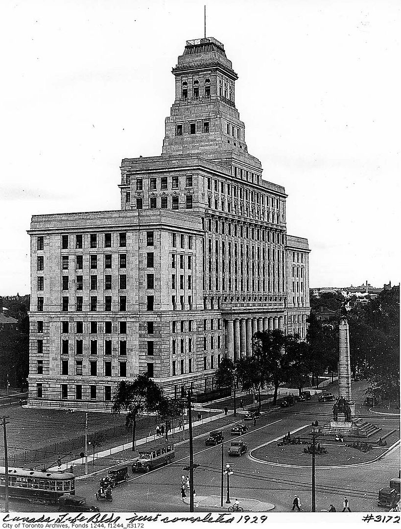
A little change of direction, but true to the spirit of "evocative images". This aerial, taken from the Canada Life Building in 1929, shows a moment in time before the Victorian (Edwardian?) city vanishes forever: no tall buildings north of Queen's Park, the Ward intact (along with the Gaol Tzedek synagogue and the Armouries), mature trees on University Avenue, lighting that almost seems surreal in its brightness:
i wonder what are the most important urban developments that finally created the grounds for the emergence of the 'modern city' all the way up to Bloor?
Charioteer: you've detailed the creation of Bay St elsewhere...to me this would seem to be possibly the most defining development; maybe along with Eaton's College St, and the growth of medical and government buildings around Queen's Park? I imagine Park Plaza was significant. as well, i reckon the building of the viaduct must have gradually created the grounds for a kind of connective tissue of development coming from the northeast....
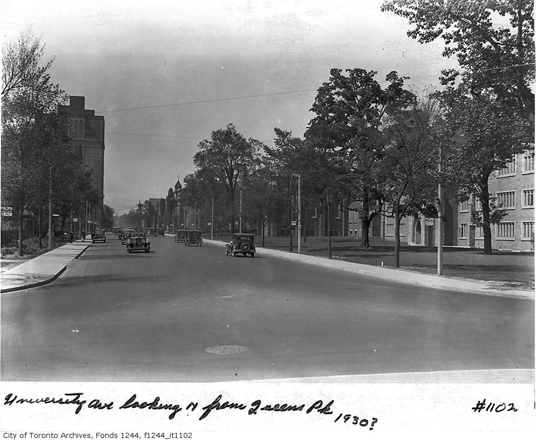
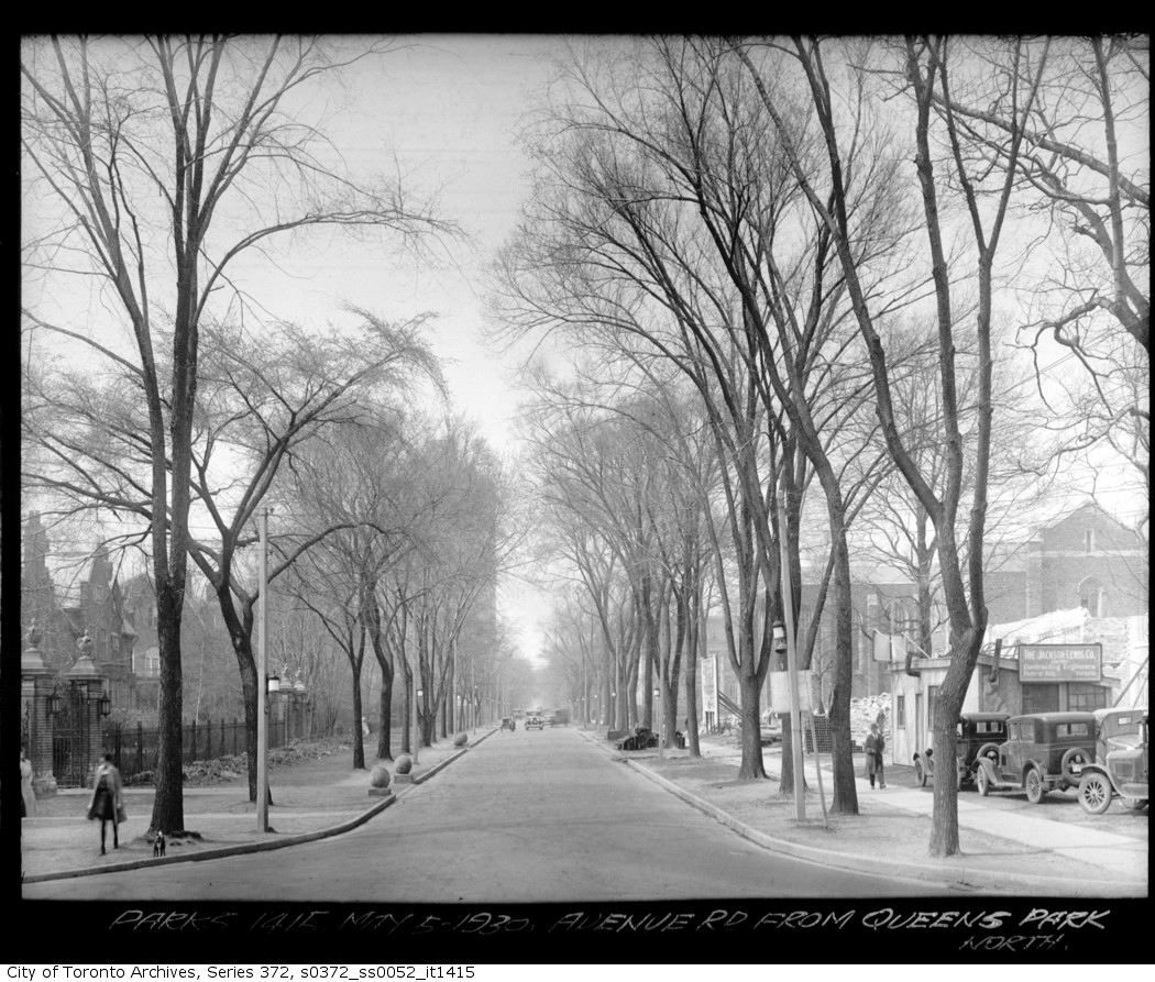
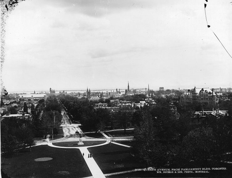
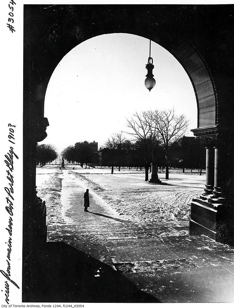
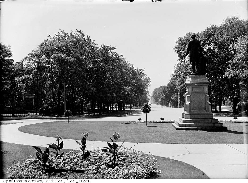
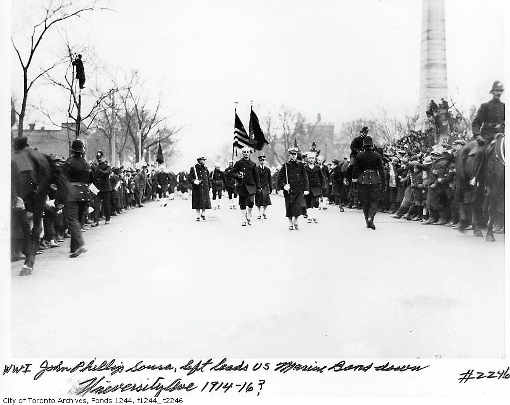
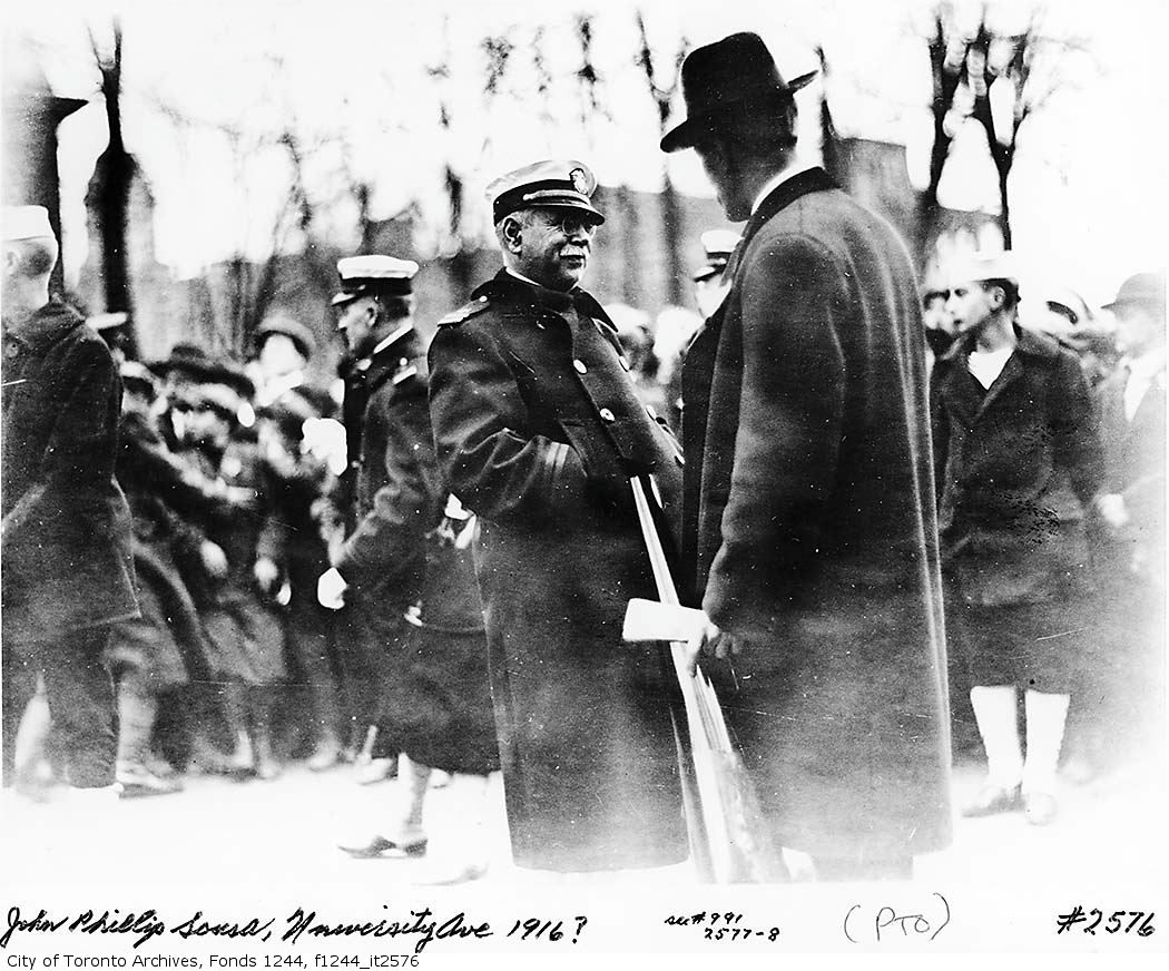
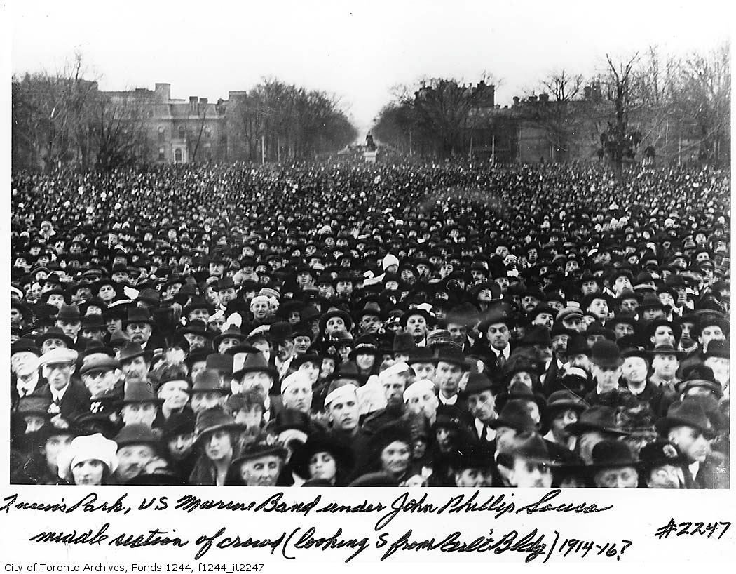
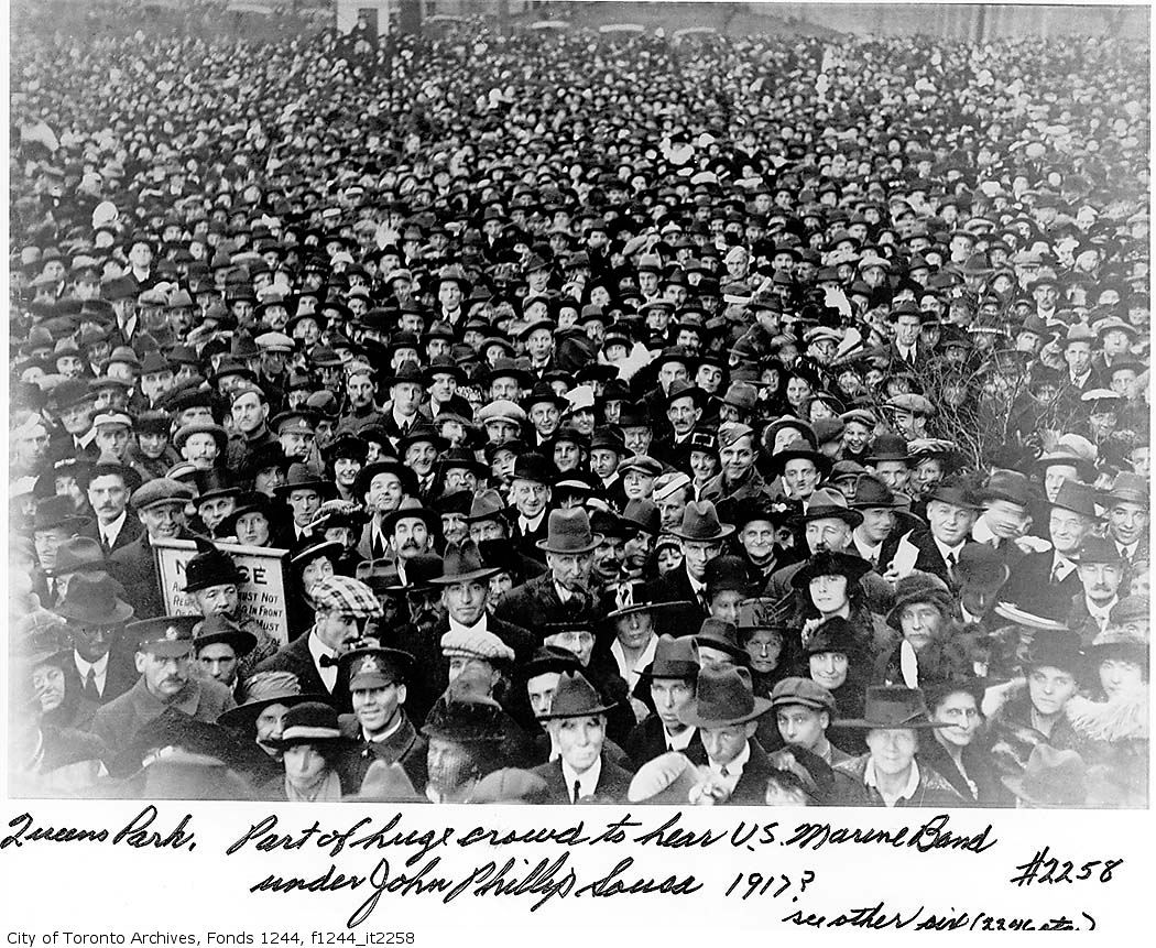
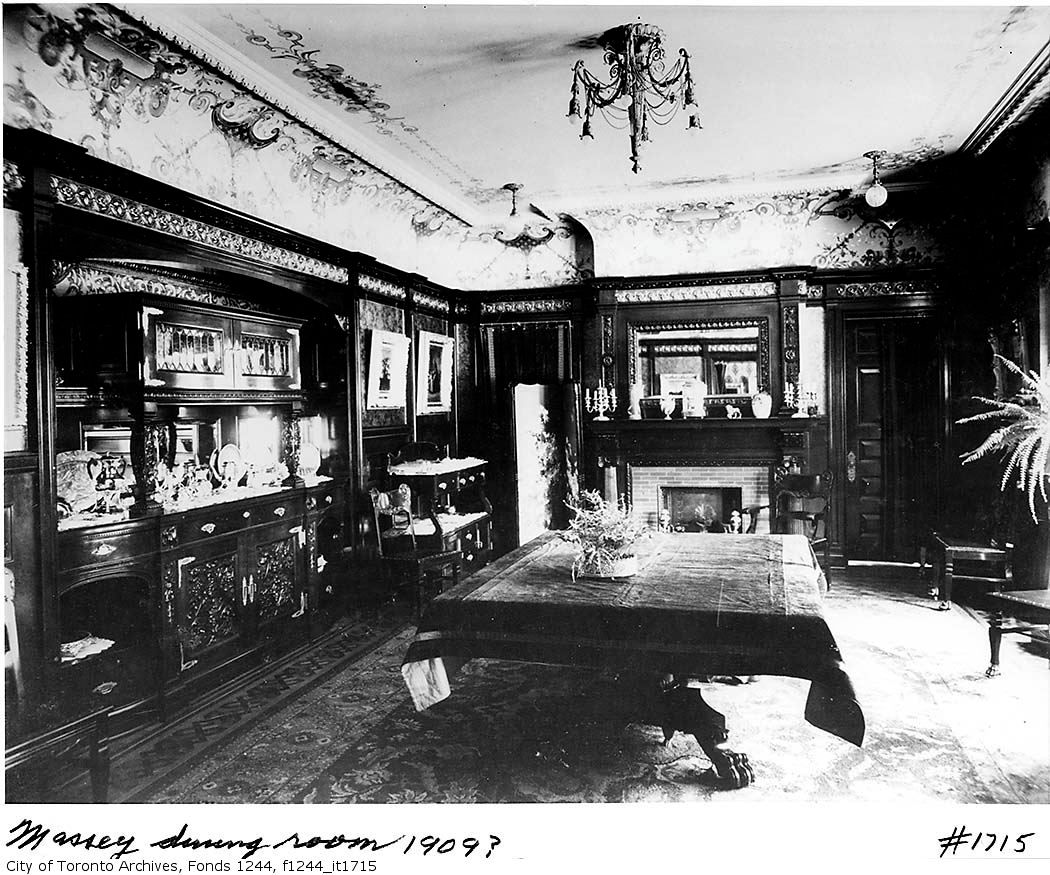
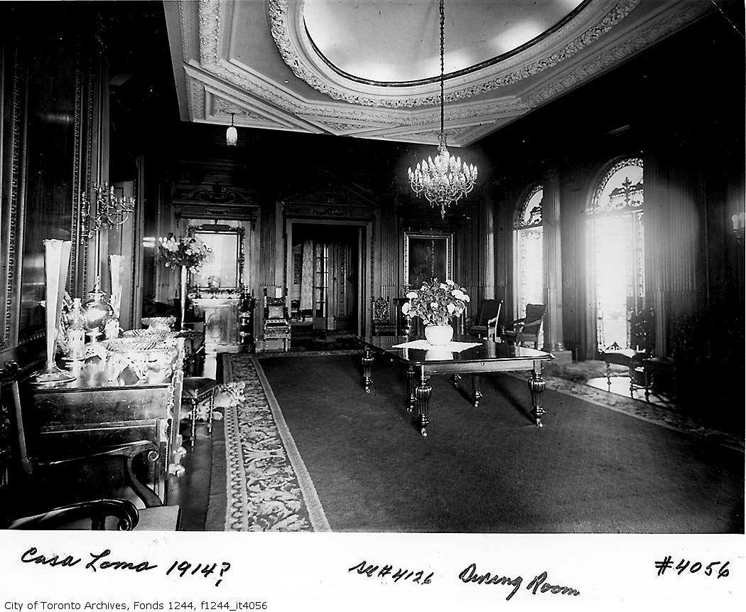
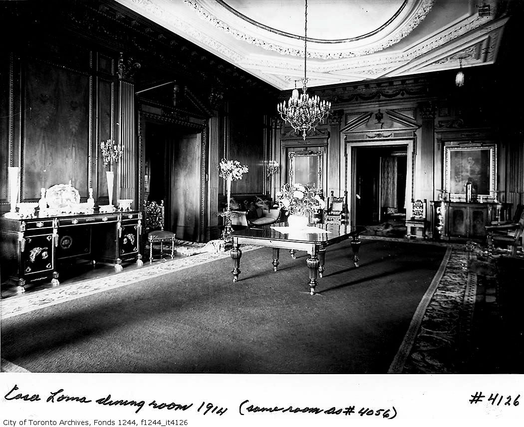
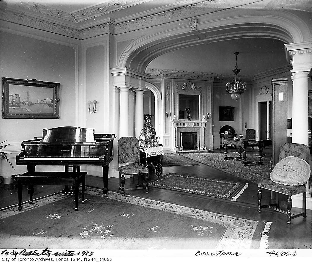
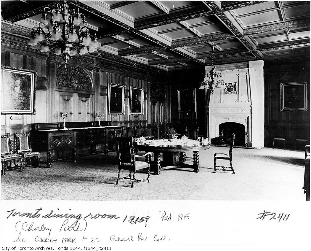
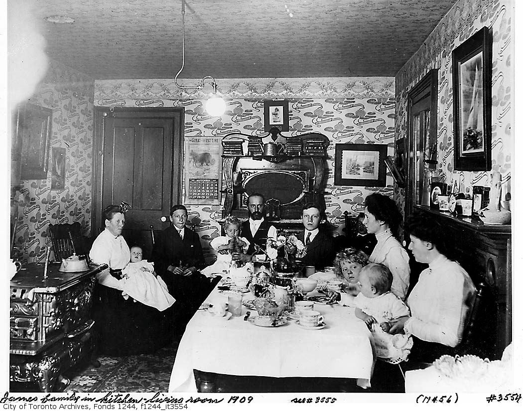
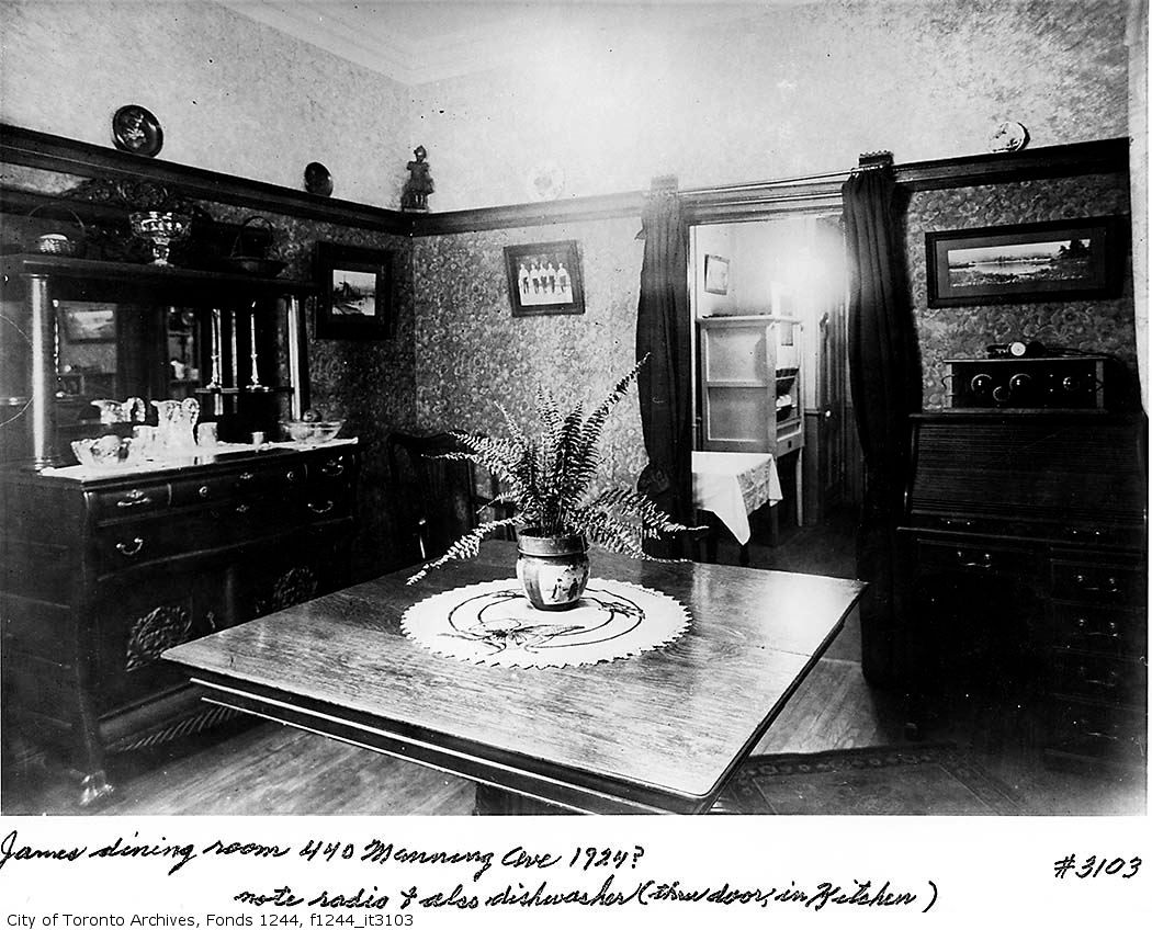
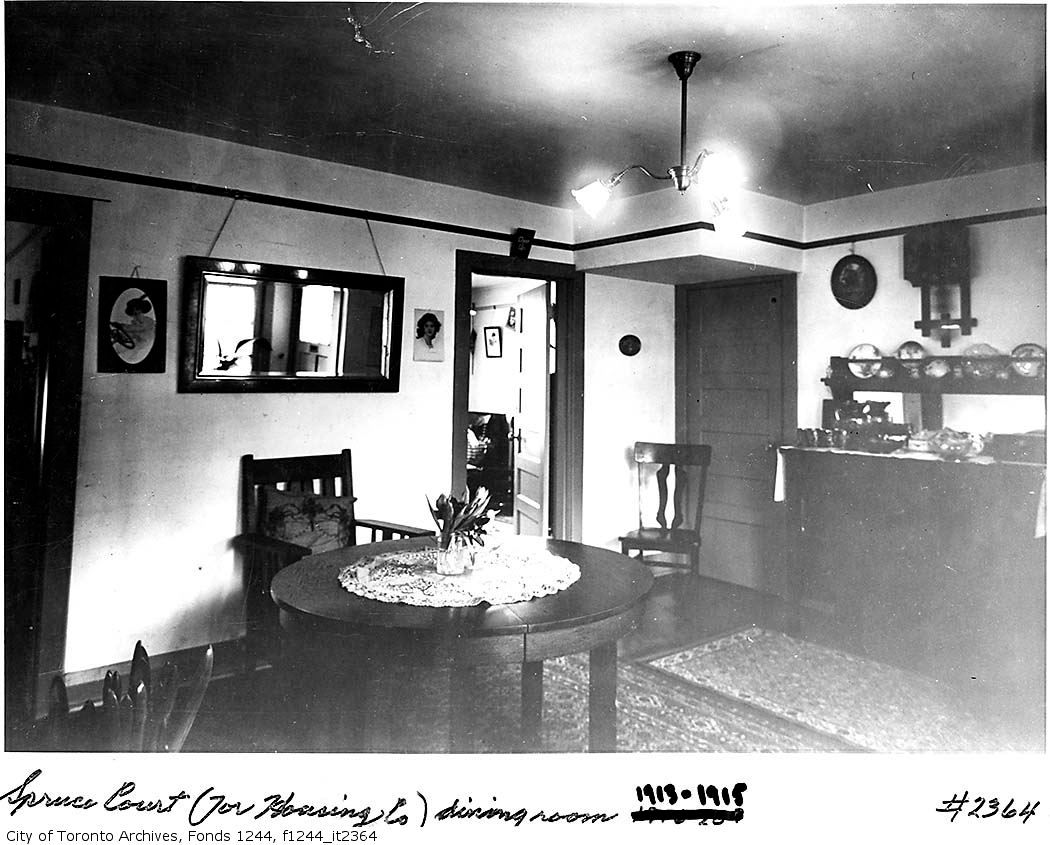
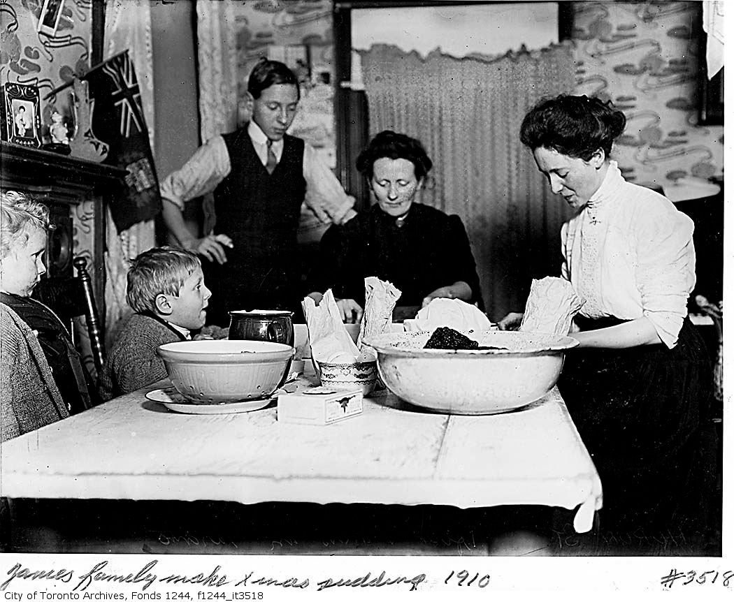
here are a few shots from the same era. as has been pointed out, for some reason a lot of these dates need to be looked at somewhat askance.
i love the out of focus image of bustling rough and tumble Queen Street west in the background. you can see the corner of Queen and York upper left...
here is the site of the Canada Life buiilding prior to construction. again, date seems wrong?
i like this one, as it provides a nice view of the hulking masses that were the Ford Hotel and the Eaton's Warehouse, and a good view of the length of the Armoury, with its picturesque round turrets. what a crazy building!
another from Canada Life tower--good glimpse of the Ward
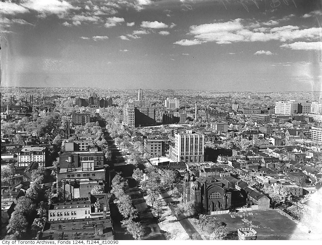
another aerial view of the Ward, from City Hall tower
a view looking north from the Royal York. you can see Eaton's College under construction
what is that big building where Ryerson now is, in lower left frame? is that the original Ryerson building?