Mustapha
Senior Member
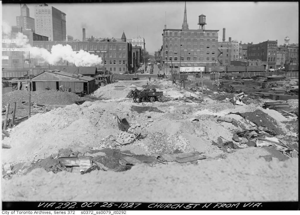
April 15 addition.
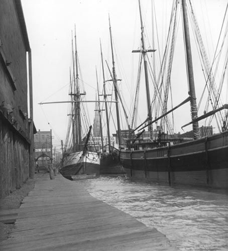
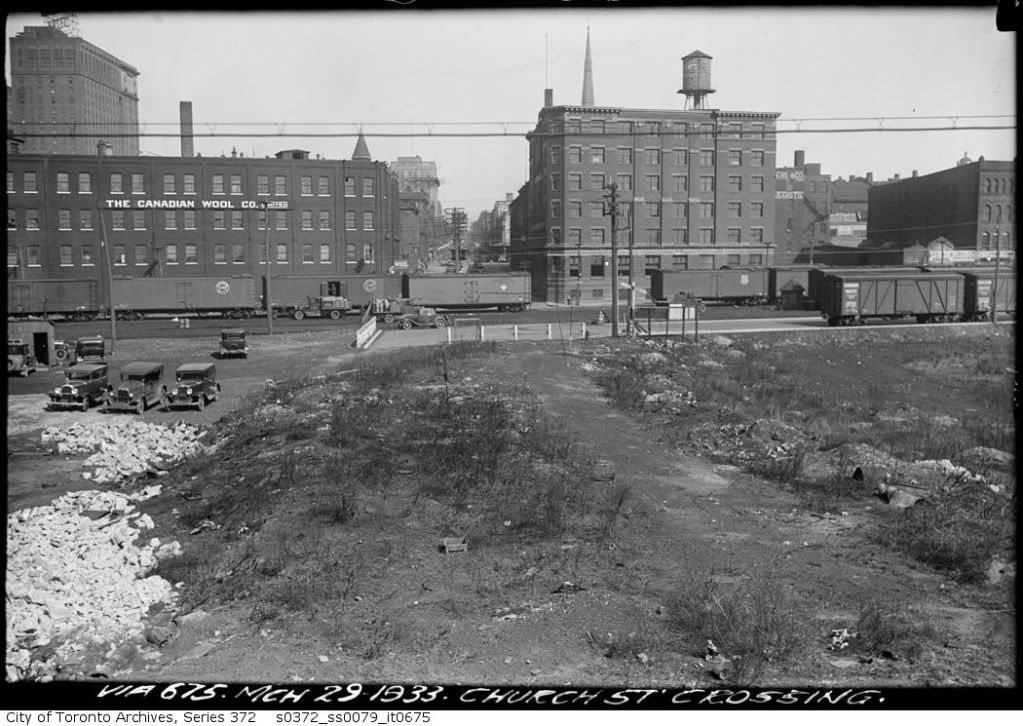
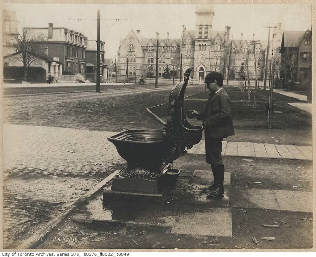
Another Church street and Esplanade view. This is a few years later when landfill started moving the shoreline south.
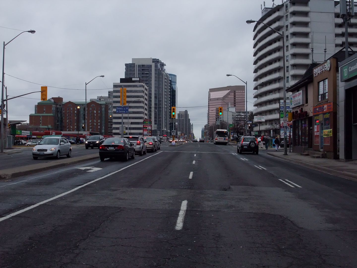
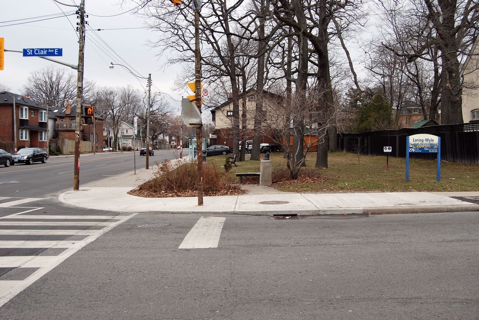
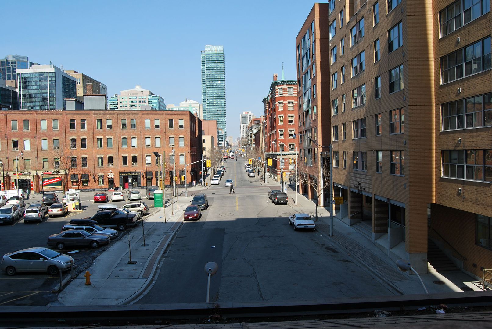
Now. March 2010.
Another Church street and Esplanade view. This is a few years later when landfill started moving the shoreline south.
Now. March 2010.
")