News   GLOBAL  |  Apr 02, 2020
 8.8K     0 
News   GLOBAL  |  Apr 01, 2020
 40K     0 
News   GLOBAL  |  Apr 01, 2020
 5.1K     0 

There should never, ever, be a station at Blue Jays Way and Front named for the stadium-still-known-to-me-as-SkyDome. If anything, it should be a non-specific name of "Stadium" - just like "Museum" (who knows if it will get a new name? - just provide directions in station signage). Or not a stop there ar all, instead perhaps John Street and Spadina only. That way crowds from a major event are dispersed at least amongst two stations.

There's lots of other things. A loop line that big is not reasonable. And misses Mississauga by just skirting the boundary. And the Yonge Line only to Steeles. And the inevitable Zoo station, which doesn't make sense. The winding nature of the DRL is rather strange as well, especially when I need to consult a map to figure out where "Lloyd" or "Ellis" (which is one of several "Ellis" - is it on the Queensway?) are.
 
Agreed ShonTron. I find it funny that it has the subway serving the Zoo but not MCC. I'd also keep the DRL separate from the Sheppard line. I would have the Sheppard line connect with STC. I think the Bloor line shouldn't dip that far down, as there's already a well-used GO line in southern Etobicoke already.
 
There should never, ever, be a station at Blue Jays Way and Front named for the stadium-still-known-to-me-as-SkyDome. If anything, it should be a non-specific name of "Stadium" - just like "Museum" (who knows if it will get a new name? - just provide directions in station signage). Or not a stop there ar all, instead perhaps John Street and Spadina only. That way crowds from a major event are dispersed at least amongst two stations.

There's lots of other things. A loop line that big is not reasonable. And misses Mississauga by just skirting the boundary. And the Yonge Line only to Steeles. And the inevitable Zoo station, which doesn't make sense. The winding nature of the DRL is rather strange as well, especially when I need to consult a map to figure out where "Lloyd" or "Ellis" (which is one of several "Ellis" - is it on the Queensway?) are.

I had to consult a map when figuring out the station names myself. Apparently, Lloyd and Ellis are minor streets nearby major intersections (Keele-St Clair and Jane-Lawrence). "Cherry Nook" threw me for a loop though I right away knew it was Greenwood. I always thought "Convention" was the settled upon name for a future John St/CNR station.

Things I thought were cool: Lakeshore-Hwy 27 and Queen East subways.
Things that simply weren't: Sheppard West-Jane subway. Zoo. The spacings along the Eglinton Line. Was he aiming for GO Transit service adjacent Eglinton, or what?
 
Here is an interesting subway map and article from the February 22, 1964 edition of the Star.

3548506919_38f66baac9_b.jpg
 
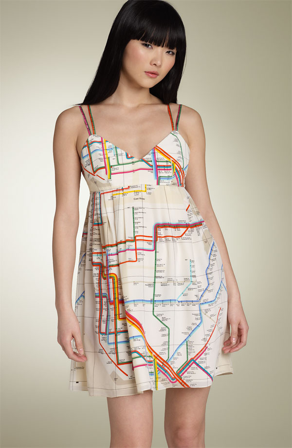
Does this count as a fantasy map?

subwaymapdressfront.jpg
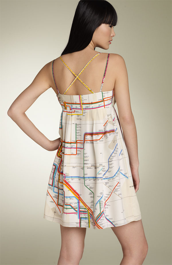
subwaymapdressback.jpg


From Wearing the Vignelli subway map article on secondavenuesagas.com:

In the annals of New York City subway history, nothing is more fetishized and analyzed than the Massimo Vignelli 1970s-era subway map. Over the last few years, I’ve written posts about Vignelli’s signage, an update to the Vignelli map and the Vignelli-inspired KickMap. I also own a handful of Vignelli maps from various years.

This latest find, though, takes the cake. As you can see, it is a dress with the Vignelli subway map reproduced on it. It is a silk piece part of the Francis New York spring collection. A buddy of mine found it at Nordstrom’s site where it is on sale for $249.90. My favorite part are the straps, each featuring a different Vignelli-colored subway line.

Now if the TTC did something like this... Not a chance, judging by they had for "corporate" souvenirs.
 
^ I don't think the TTC subway map right now looks "impressive" enough anyway. Perhaps in a couple decades when the TC lines (and maybe DRL) are up and included.
 
I don't think TC lines are going to be included in a TTC subway map anyway. They're not exactly rapid transit, and it would be kinda silly to equate them with the subway.
 
The piece running in a subway under Eglinton perhaps should be there; I'd be tempted to put the new underground Eglinton stations on the subway map ... with a simple narrow line extending beyond ...
 
I don't think TC lines are going to be included in a TTC subway map anyway. They're not exactly rapid transit, and it would be kinda silly to equate them with the subway.
That certainly didn't prevent other cities from including TC-style light rail lines (sections of fully grade-separated + street median ROW with no-barrier level crossings + even mixed traffic running --- or as scarb would like to put it, light rail that "stops at red lights") in their standard rapid transit maps:

Amsterdam
metro-dec08-web.gif

(Line 51 "Sneltram")

Barcelona
3689527396_f090435b59_o.jpg

(Trambaix T1-3 and Trambesòs T4-6)

Hong Kong
mtr_map.jpg

(Light Rail system in the northwest)

Boston
mbta_map.jpg

(Green Line outer sections)

Philadelphia
map_septa_large.jpg

(Routes 100, 101, 102)

and the most common iteration of the Paris metro map:
plan-de-metro-bonne-definition.gif

(T1-T3)

nfitz's suggestion would also work, as Philadelphia does for its subway-surface trolley tunnel, or as Brussels does for its premetro routes 3 and 4:
stib_metro_2009.gif
 
Last edited:
I think that the streetcar and Transit City routes should be included with the subway system map. In fact, the York University bus rapid transit and the Danforth Road/Kingston Road bus rapid transit should be included as well. Where the routes are not on a right-of-way, then their lines should be thinner.
 
The subway map should include subway and Go lines as thick lines (as they are now) and LRT and BRT as skinnier lines. Totally separated LRT (if it ever happens) should be just the same as Subway or Go. I don't see why the streetcars should be included, because they provide the same basic service as busses.

Maybe the downtown streetcars could have their own maps covering downtown though, or enlarged system maps covering south of Bloor and Broadview-Roncesvales on the East and West. I always thought that would make things a bit easier, and since the streetcars are basically confined to that area it would be pretty easy to implement these maps.
 
Streetcars don't have fixed stops so no way they should be included on the subway/RT map, especially considering they operate on street. LRT is questionable. They will have fixed stops but still operate on-street and still use a different fare system (no fare-paid boarding zones for either trains or buses at stations).

If they do include the Transit City lines, they should differentiate between stations that use honour fare (LRT stations) and those that use fare-paid zones (subway/RT stations). Or they could make two separate maps, one for subway/RT and one for subway/RT plus LRT.

Edit: BTW, I don't think commuter/regional rail should be included either, for similar reasons. Again, the fare system is different, but the service is also much lower than subway. The lines, if included, should be thinner (like on my map), not thicker (like on the Paris map).
 
Last edited:

Back
Top