News   GLOBAL  |  Apr 02, 2020
 8.5K     0 
News   GLOBAL  |  Apr 01, 2020
 39K     0 
News   GLOBAL  |  Apr 01, 2020
 4.8K     0 

A few images fro the city's main street program in Bridgeland
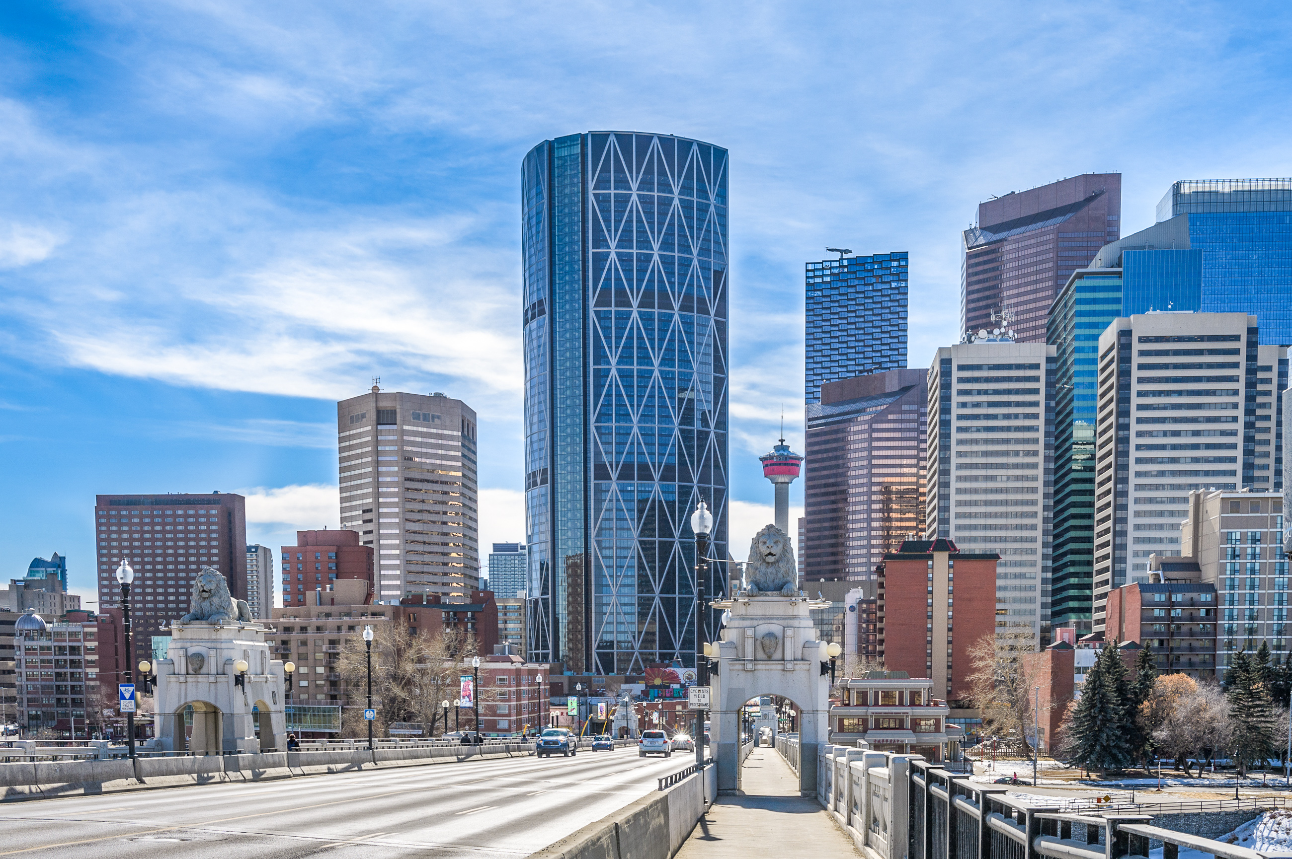
The Gateway project

q-Gateway_Overall_small.jpg
q-Image12.jpg
q-Image13.jpg
 
Had some time to kill so I thought I'd compare high-rise construction growth in the core (Downtown/EV/Beltline) from a little over 4 years ago years ago (Dec 2018) to today. I didn't include Bridgeland, Kensington or Mission, but I believe those neighborhoods also have more units u/c than was the case 4 years ago. I included Sunalta towers though it's not technically in the Beltline, it's close enough. I didn't include Curtis block or 11+11, even though they are still technically u/c.

For the time being our core growth in multi-family is very solid. Looking at all the projects u/c including 11+11 and Curtis Block we are looking at at least 4,130 new units for the core. This should result in a strong population boost over the next 3-4 years.

Dec 2018
U/C Units
Underwood Tower - 225
11th and 11th - 369 (site prep)
Marriott Residences - 303
One Tower - 379
500 Block South - 463
The Royal - 223
Curtis Block - 628 (site prep)
Redstone - 137 (Site prep)
Cube - 66
Total Units: 2,793


Jan 2022

U/C Units
Oliver - 866
Sunalta Towers - 333
The Hat 14th - 239
1334 10th - 80
Arris Tower west - 310
Park Central II - 460
Sierra Place - 80
West Village Towers - 554
The Fifth - 34
Nude - 177
Total Units: 3,133

That new total doesn't include the still u/c
11th and 11th - 369
Curtis Block - 628
That's an impressive number of units coming on line. The core is alive and well.
 
In reference to the conversation on the WestUrban 37th Thread about 37th St being a priority for a main street redo: https://calgary.skyrisecities.com/f...n-faas-architecture.32979/page-3#post-1800193

I looked up the city's priorities for Main Streets... Biggest takeaway for me was seeing Macleod Trail not being a priority. Isn't that the south's 'Main Street'? Not to mention that its a massive project, stretching 11 Kilometers from Willow Park Drive to the Bow River. You'd think you would want to get started on at least the portion from Glenmore to 17th Ave? A proper 'Main Street' could really draw some development to that corridor to really give it some life. The other parts, I agree with the city are not that important.

Macleod just seems like it's on such a different scale than all the others and would require so much more investment to move the needle even a tiny bit. I wonder if they are also waiting for Green Line and Deerfoot upgrades to be done before trying to tackle Macleod?
 
Macleod just seems like it's on such a different scale than all the others and would require so much more investment to move the needle even a tiny bit. I wonder if they are also waiting for Green Line and Deerfoot upgrades to be done before trying to tackle Macleod?
Macleod is and will never function as a 'Main Street', they have no intention to change the condition of the Stroad in any meaningful way. In my opinion the Main Streets that should've been selected in the south are Elbow Drive, Fairmount Drive for sure as the blocks are correctly oriented and possibly could work for Heritage Drive and Southland Drive. I imagine they picked Macleod to not piss off existing residents and because commercial is already located there, but this city does not do road diets and Macleod would need to be put on a enormous one to even resemble a ROW that could even pretend to be a Main Street.

They straight up say it won't resemble a Main Street in any new draft LAPs:

1648047023251.png


LAPs and more ambitious Main Street policies outside of the inner city seem like they will be documents of unending political compromise that will not change the status quo and will fold on good urban design.
 
Last edited:
Macleod is and will never function as a 'Main Street', they have no intention to change the condition of the Stroad in any meaningful way. In my opinion the Main Streets that should've been selected in the south are Elbow Drive, Fairmount Drive for sure as the blocks are correctly oriented and possibly could work for Heritage Drive and Southland Drive. I imagine they picked Macleod to not piss off existing residents and because commercial is already located there, but this city does not do road diets and Macleod would need to be put on a enormous one to even resemble a ROW that could even pretend to be a Main Street.
Agreed that we should focus on lower hanging fruit, but there are ways of designing a street to both accommodate high volumes of traffic and also facilitate urbanity. Macleod between Chinook and downtown could be something much better than it is right now.
 
Macleod Trail was looked at about a decade ago, through a corridor study, to create a better cross-section to make it more of a pedestrian street, matching the recently minted "Urban Boulevard" status from the then only 3 year old MDP/CTP. The study ran from Anderson Road to 25th Ave SE, with Council approving the design from Anderson to 58th Avenue, but sending back the design from 58th to 25th. If I recall, the reason was that to build what was envisioned north of 58th Ave, it would cost about $100 million. Council was not on board with a project of that cost, that was ultimately a "street beautification" project, which still required acquisition of properties for an expanded ROW to fit the proposed cross-section. The proposed design can be found on the project link here:

Some examples:
50th to 58th Avenue South:
1648050036670.png


34th to 42nd Avenue South:
1648050100776.png


When you look at the presentation, everything south of 58th Avenue was approved, as it didn't really involve a lot of work to implement. No moving of the ROW boundaries and a slight adjustment to curb lines to narrow lanes. So, relatively easy to implement. As an example, here is what was proposed (and approved) for the stretch between Southland Drive and 109th Avenue South:
1648050575755.png

The City actually did some work on this stretch, around 2016 when looking at historical air photos and the Streetview Time Machine. For example, here is the west side of Macleod Trail in August 2015, looking pretty unfriendly for pedestrians, much like the existing condition in the cross-section above:
1648050723364.png


And, here it is, post improvement/investment as shown in May 2021:
1648050827786.png


That kind of matches the approved cross-section, right? Oh wait, there isn't a 5.0m sidewalk, or seperate cycle track, or even boulevard trees acting as a buffer..... It is better than what was there before (pretty low bar), but why bother meeting an approved plan, when you can spend a fraction of the amount and put up something inferior?

Unfortunately I feel like this is another example of proving that approved plans/policy in this city mean Jack Sh!t......Or maybe I am just being cynical this morning.
 
Speaking of main streets...the completion of sidewalk construction on 17th has been delayed again until 2023. I understand giving businesses a break, but I feel like this whole project could have been executed better - it will be a six year project when all is said and done. 😐
The sidewalks are pretty rough shape for large portion as the temporary fills have slumped and the parts that haven't been touched yet are 6 years worse for wear with missing bricks etc. It's makes no sense to drag this out further. Pave them already!

Apologies - this triggered a rant:
In my opinion - this whole 17th Ave project is a perfect case study on urban priorities, and how Calgary gets it wrong for pedestrians, especially when making trade-offs. IIRC, the source of 17 Ave public realm woes was that the whole 17th Ave project was first dreamed up from a utility requirement to update the old pipe network, and only had the public realm and transportation elements bolted on after public awareness raised concerns to what was happening. 95% of the money, and 95% of the priority went beneath the ground. It shows.

Further, the stuff added above the ground offers marginal benefit/or is actually a detriment to pedestrians (apart from new pavement which is endlessly delayed). This is why the newer Main Streets are light-years better for public realm than this 17 Ave project - the approach is clearly from the user of the street perspective, not driven bluntly by inflexible utility needs that some how failed to talk to anyone who walks during the engagement work.

Here's the examples of all the things the 17 Ave "improvements" did on just one small, but critically important, intersection at 8 Street and 17th Ave. This intersection has one of the highest traffic pedestrian volumes in the city:
  1. A random new signal control box taking up sidewalk space right where it's at it's narrowest already. No idea why it's needed (see point 5).
  2. New pointless, decorative poles cluttering the intersection, again taking up sidewalk space in an congested sidewalk area. Curious on how this many poles impact safety and visibility of pedestrians for drivers considered how many crossings are made here daily. How did these make it into the design priority but the sidewalk width didn't?
  3. Weird, non-standard cut into the curb to allow for a sewer grate to create tripping hazard right at the intersection and takes up yet more space in the narrowest sidewalk section. There's no alignment rationale of the pipes on why this would exist here (we literally ripped up the road to move the pipes) + you could easily do the standard design with a flush curb if you tried.
  4. Unpaved dirt patch that will be resolved during completion in 2023 (hopefully!)
  5. Yet more signal control boxes - since this picture, a *third* giant signal control box was added in Tompkins part for that wonky 16th Ave & 8th Street signal project (which has questionable value but that is another story).
2021 / 2022:
1648050830174.png


Here's the 2012 pre-upgrade version - flush curb, fewer and smaller control boxes, no random poles:
1648051725411.png


On signal control box madness - I added my own photo for a close up recently, as I can't for the life of me contemplate the thought process behind these things. Here's the close up of our curious signal box fetish at Tompkins Park - quite a view we created for those benches on an otherwise great urban corner. Camera height is about 6 feet so you can gauge the size:
IMG_0265.jpg

IMG_0264.jpg


My questions about signal control boxes here:
  1. why they are needed at all with all our modern tech of 2022
  2. why you need now 4 of them within 20m of each other
  3. why they are so big and getting bigger (see #1 and the 2012 picture)
  4. why must they be placed directly in the pedestrian path of the busiest intersection on 17th Avenue.
I totally get the challenge of competing project priorities, but surely the pedestrians should have more wins than this on a street this important? I mean come on - these boxes aren't even the same size or in a straight line! We literally just plopped them down randomly, almost as if we wanted to make pedestrians go around. Perhaps I have more OCD than a roads engineer, but this is an absolutely ridiculous way to treat our "main" Main Street lol !
 
It would be one thing if each of those boxes/poles/curbs happened piece-meal over the years, but it's hard to fathom how something that bad is the 'final result'. Hopping through the streetview history there is bewildering and maddening.
 
Macleod Trail was looked at about a decade ago, through a corridor study, to create a better cross-section to make it more of a pedestrian street, matching the recently minted "Urban Boulevard" status from the then only 3 year old MDP/CTP. The study ran from Anderson Road to 25th Ave SE, with Council approving the design from Anderson to 58th Avenue, but sending back the design from 58th to 25th. If I recall, the reason was that to build what was envisioned north of 58th Ave, it would cost about $100 million. Council was not on board with a project of that cost, that was ultimately a "street beautification" project, which still required acquisition of properties for an expanded ROW to fit the proposed cross-section. The proposed design can be found on the project link here:

And, here it is, post improvement/investment as shown in May 2021:
View attachment 387320

That kind of matches the approved cross-section, right? Oh wait, there isn't a 5.0m sidewalk, or seperate cycle track, or even boulevard trees acting as a buffer..... It is better than what was there before (pretty low bar), but why bother meeting an approved plan, when you can spend a fraction of the amount and put up something inferior?

Unfortunately I feel like this is another example of proving that approved plans/policy in this city mean Jack Sh!t......Or maybe I am just being cynical this morning.

Interesting background on it. I think I still prefer immediate & cheap half-assed measures like that compared to taking a long time to implement something that is still just lipstick on a pig - a loud, busy, and unpleasant pig.

I think Macleod itself is pretty much salvageable; I'd look to improve the parallel arteries (Bonaventure Drive, etc.) and some of the E-W connections. I've got a wild fantasy idea I'll post in a bit.
 

Back
Top